Skip to main content
Hiking to Taft Point and Glacier Point Road
Glacier Point Road
•10.0/10
•Easy
Hiking to Taft Point and Glacier Point Road
Category
Natural Landmark
Typical Duration
8-11 hours
Difficulty
Easy
Photo Gallery
Hiking to Taft Point and Glacier Point Road - Glacier Point Road
Hiking to Taft Point and Glacier Point Road - Glacier Point Road
Hiking to Taft Point and Glacier Point Road - Glacier Point Road
About This Landmark
Hiking to Taft Point and Glacier Point Road
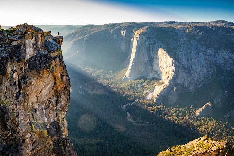
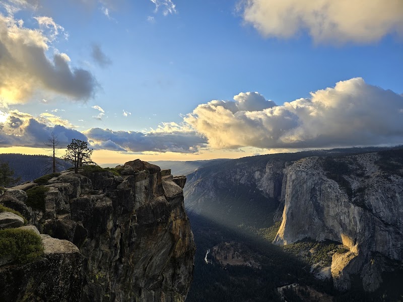
Hiking to Taft Point along Glacier Point Road offers one of Yosemite National Park's most awe-inspiring and accessible experiences. This short 2.2-mile round-trip hike rewards visitors with dramatic cliffside views, unique geological features, and a sense of serenity away from the more crowded park trails. Taft Point, perched over 7,500 feet above sea level, provides panoramic vistas of Yosemite Valley, the Merced River, and El Capitan. For those seeking a combination of stunning scenery and relative solitude, this trail is a standout.
Adventure Guide To Hiking to Taft Point
Trailhead Location: Begin your hike from the Taft Point/Sentinel Dome trailhead along Glacier Point Road. This location is well-marked, with parking available nearby. From Yosemite Valley, it’s about a 45-minute drive (16 miles) via Wawona Road to Glacier Point Road.
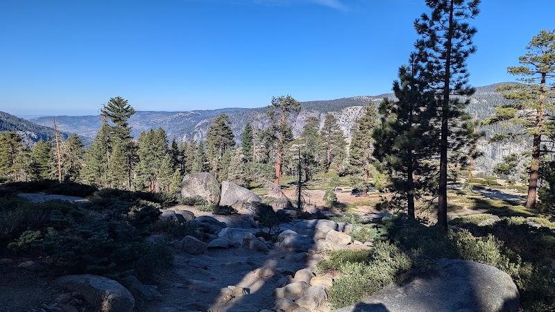
The Scenic Path: The trail features a relatively easy terrain with gentle elevation changes, making it suitable for families and hikers of various skill levels. Along the route, you'll traverse pine forests and meadows before reaching the cliff’s jagged edge. Highlights include the fissures, large vertical cracks in the granite cliffs that drop thousands of feet into the valley below—a geological wonder unique to this area.
Taft Point Vista: The true reward is the view at Taft Point. The rocky outcrop allows for unobstructed views of Yosemite’s most iconic landmarks, including Glacier Point and Yosemite Falls. A metal railing provides safety, but take caution near exposed areas, as the sheer cliffs demand respect.
Local Insights
- The fissures along the way are a signature feature of this hike. These deep cracks were formed by natural weathering processes over millennia.
- Taft Point is named after President William Howard Taft, who admired Yosemite’s beauty during his visit in 1909.
- This area sees less foot traffic compared to Glacier Point, making it ideal for photography and quiet reflection.
Visitor Tips
- Best Times to Visit: Late spring to early fall is ideal, as Glacier Point Road is typically closed during winter due to snow. Aim for early morning or late afternoon to avoid crowds and capture magical light for photos.
- What to Bring: Comfortable hiking shoes, water, sunscreen, and a camera for the breathtaking views.
- Driving Directions: From Yosemite Valley, take Wawona Road to Glacier Point Road. Follow the signs to the trailhead parking area.
Visitor Tips:
- Best Times: Spring and Fall for cooler temperatures and amazing lighting.
- What to Bring: Water, sunscreen, and a camera!
Ratings
Overall
10.0/10User rating
Experience Level
Easy
Experience Needed: This natural landmark is recommended for those with minimal outdoor experience. Perfect for families and beginners.