Skip to main content
Hike to Laurel Falls in Gatlinburg
Explore this 2.6-mile out-and-back trail located near Gatlinburg, Tennessee. Featuring an 80-foot waterfall, it's moderately challenging. Perfect for families and offers stunning views, especially in spring and fall.
Fighting Creek Gap Road
•7.5/10
•Moderate
Hike to Laurel Falls in Gatlinburg
Category
Hiking
Typical Duration
10 minutes
Difficulty
Moderate
Photo Gallery
Hike to Laurel Falls in Gatlinburg - Fighting Creek Gap Road
Hike to Laurel Falls in Gatlinburg - Fighting Creek Gap Road
Hike to Laurel Falls in Gatlinburg - Fighting Creek Gap Road
About This Landmark
Hike to Laurel Falls in Gatlinburg
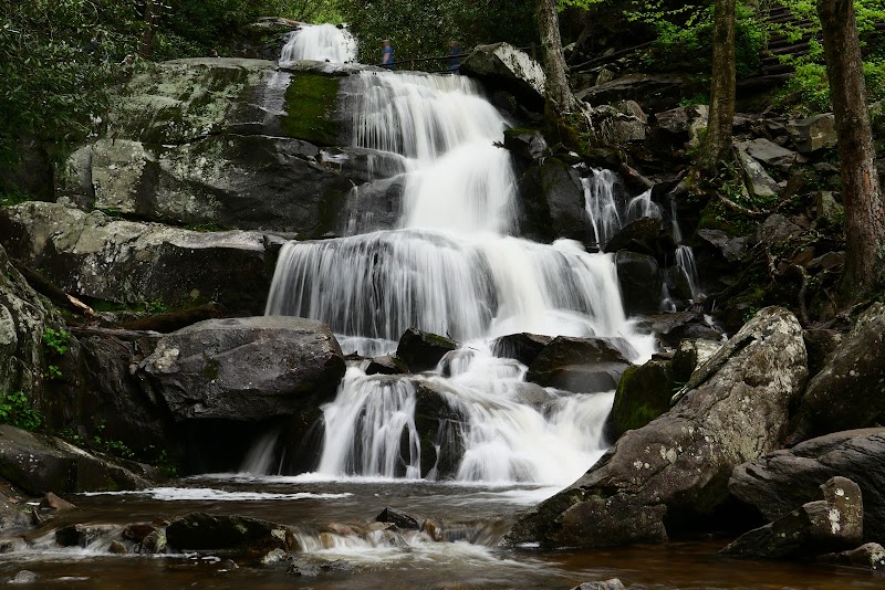
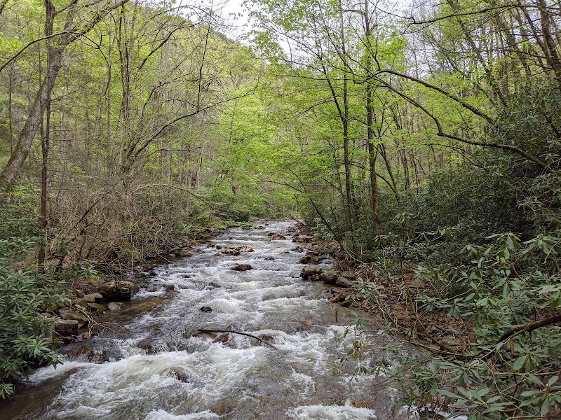
The hike to Laurel Falls is one of the most cherished outdoor activities in the Gatlinburg area, offering visitors a chance to witness one of the most beautiful waterfalls in the Smoky Mountains. This hike is unique not just for its stunning views but also for its accessibility, making it a favorite for families, casual walkers, and serious hikers alike.
Adventure Guide To Hike to Laurel Falls
-
Laurel Falls Trail
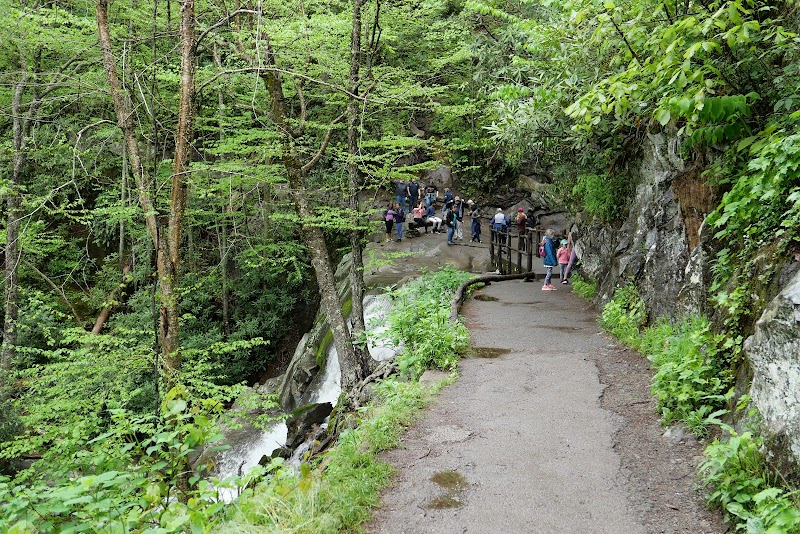
Starting from the Laurel Falls parking area, this 2.6-mile round trip trail features a well-maintained path suitable for all skill levels. What makes it special is its stunning waterfall, cascading 80 feet over rocks. The trail is lined with wildflowers in spring, enhancing the scenic beauty. -
Scenic Points
Several designated viewpoints along the trail offer breathtaking vistas of the surrounding landscape. Visitors can pause for photos and truly appreciate the changing colors of the leaves in fall or the lush greenery in summer. -
Picnic Areas
Near the trailhead, there are picnic tables and restrooms—ideal for a lunch stop after the hike. This makes it a convenient choice for families wanting to enjoy a full outdoor day.
Local Insights
The Laurel Falls area is steeped in local culture, originally developed by the Civilian Conservation Corps in the 1930s. It holds ecological significance, as the biodiversity around the falls supports various wildlife species. Always remember to leave no trace, ensuring this treasure is preserved.
Visitor Tips
-
Best Times to Visit: Early morning is ideal to avoid crowds, especially in peak seasons (spring and fall).
-
What to Bring:
- Water and snacks
- A camera for stunning photos
- Comfortable hiking shoes to navigate the terrain
-
Driving Directions: From the Smoky Mountains near Gatlinburg, take Little River Road for about 10 minutes to the Laurel Falls Trailhead. Look for a clearly marked parking area.
Hiking to Laurel Falls offers not just physical activity but a chance to connect with the breathtaking nature surrounding Gatlinburg.
Visitor Tips:
- Best Times: Spring and Fall for cooler temperatures and amazing lighting.
- What to Bring: Water, sunscreen, and a camera!
Ratings
Overall
7.5/10User rating
Photography
8.0/10Scenic value
Featured Activities
Primary Activity
Hiking
Also Great For
Essential Information
Nearby City
Gatlinburg, Tennessee
Protected Areas
Great Smoky Mountains National Park
Experience Level
Moderate
Experience Needed: This natural landmark is recommended for those with some outdoor experience. Good for regular hikers.