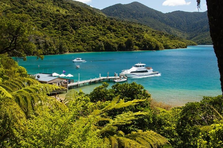
You step off the Cougar Line at Punga Cove with salt air on your face and bush-clad ridgelines rising like a promise ahead.
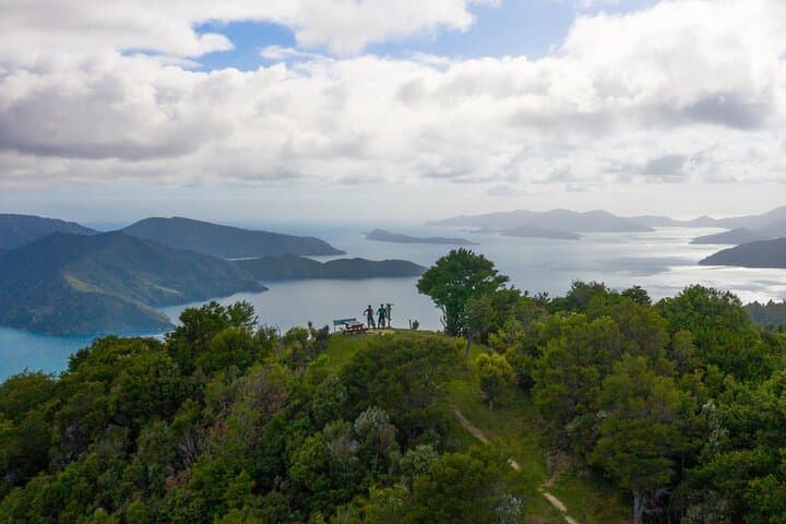
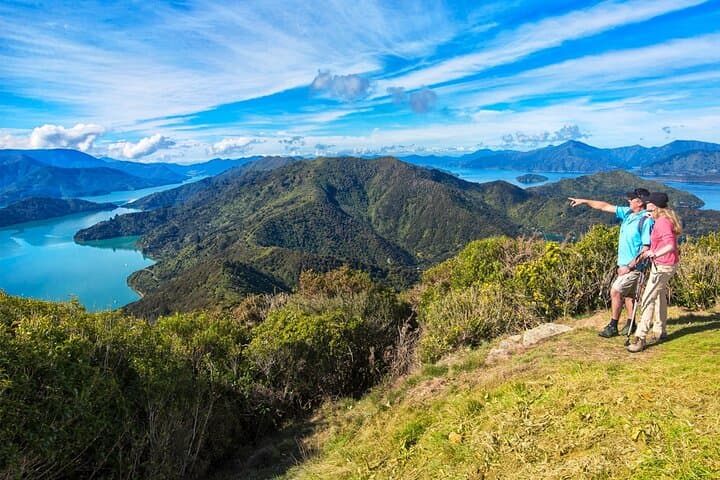
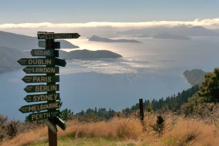
The 11 km return route threads through dense native forest and along exposed ridge, the track alternating between wooden boardwalks, packed gravel and occasional rocky steps. Tui and fantail flit through the canopy as the track climbs steadily toward the last sharp push—about 15–20 minutes—up to Eatwells Lookout, where the Kenepuru and Queen Charlotte Sounds unfurl in a full 360° sweep.
The route follows long-used coastal access ways: Māori waka routes once linked the bays, and later European settlers carved access for logging and farming. Geologically the Sounds are drowned river valleys, their steep arms and sheltered inlets formed by tectonic uplift and sea-level change—hence the ridged horizon and deep-water bays.
Along the way expect small historical remnants: old fence lines, stone culverts and the occasional homestead view. The culture here is maritime and low-key—holiday baches, working farms and active mussel beds below.
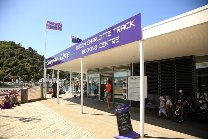
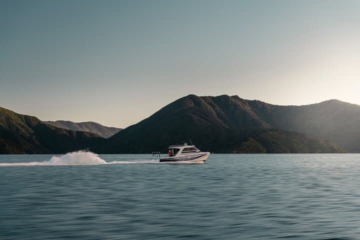
Practically, buy a track pass before you go and book the water taxi times in advance; the service is part of the transit rhythm here. Allow 4–5 hours walking time; factor in two water taxi legs (~1.5 hours each). Wear grippy boots for wet roots and scrub, carry 2–3 litres of water, and layer for rapidly changing coastal weather. Stick to marked track to protect fragile vegetation and avoid disturbing nesting birds.
The payoff is simple and definitive: a summit view that returns your effort tenfold, where sound, sea and ridge meet under an open sky.