THE ADVENTURE COLLECTIVE® · Independent discovery and booking for outdoor travel

Circle Quilotoa’s rim for sweeping lake views, high‑Andean culture and pumice-slick trails. This day hike mixes high-altitude challenge with accessible viewpoints and local community stops.
Circle Quilotoa’s rim for sweeping lake views, high‑Andean culture and pumice-slick trails. This day hike mixes high-altitude challenge with accessible viewpoints and local community stops.
A wind-cut rim, a ring of braided trail and the jade bowl of Quilotoa below — the day begins with Quito shrinking behind you and the high páramo opening up. Light moves fast above 3,800 meters; clouds push across the crater and the lake changes color as if daring you to keep watching. Guides from nearby communities lead groups along narrow ledges, across grassy saddles and past steep dropoffs that reveal every angle of the lagoon.
Verified experiences and guided adventures in the surrounding area.
Operated by Quito Tour Bus · Quilotoa, Cotopaxi
A wind-cut rim, a ring of braided trail and the jade bowl of Quilotoa below — the day begins with Quito shrinking behind you and the high páramo opening up. Light moves fast above 3,800 meters; clouds push across the crater and the lake changes color as if daring you to keep watching. Guides from nearby communities lead groups along narrow ledges, across grassy saddles and past steep dropoffs that reveal every angle of the lagoon.
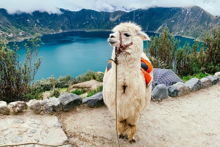
The route follows an ancient volcanic caldera carved by a violent eruption centuries ago; successive generations of Kichwa-speaking communities settled the slopes, building terraces and viewpoints such as Shalalá. The geology here is raw: ash layers, pumice slopes and a crater rim that alternates between scree and grassy footing. Culture remains visible — the market villages, handwoven textiles and local shepherds with llamas and sheep.
Expect high-altitude sun, sudden wind and trail sections that demand confident footing. Your guide will point out the glass viewpoint at Shalalá and the Juyende high point (around 3,900 m), then steer you back to safer trails. Practicalities matter: acclimatize in Latacunga or Quito, carry water and layers, and allow extra time for photos and slow, steady breathing on climbs.
This loop is as much about managing altitude and weather as it is about scenery. Hike deliberately, respect fragile páramo plants, and you'll leave with clear views, vivid photos and a real sense of place.
challenging.
6–8 hours.
Good cardiovascular fitness and prior high-altitude experience recommended; be able to sustain several hours of steep walking.
The terrain includes steep sections, loose volcanic scree and high altitude — it’s challenging for those not acclimatized but manageable with a steady pace and a guide.
Yes—quilotoa sits near 3,800–3,900 m. Symptoms like headaches or shortness of breath are common; ascend slowly, hydrate and descend if symptoms worsen.
Most include round-trip transport from the pickup point, bilingual guide and Quilotoa entrance fees; confirm exact inclusions with the operator.
Private transfers and interprovincial buses run from Quito to Latacunga or Zumbahua; from there tours or local transport take you to the Quilotoa rim (2–3 hours total by road).
Quilotoa occupies a collapsed volcanic caldera formed by a major eruption; indigenous Kichwa communities have farmed the slopes and pass down local weaving and market traditions.
The páramo is fragile; stick to established trails, avoid collecting plants and pack out all waste to limit erosion and protect high‑altitude water sources.
Quito Tour Bus operates guided outdoor trips and adventures with an emphasis on safety, stewardship, and memorable experiences.
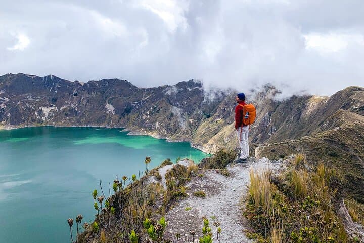
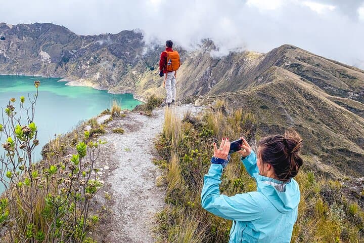
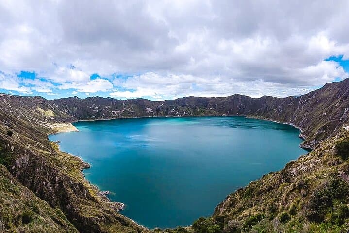
A wind-cut rim, a ring of braided trail and the jade bowl of Quilotoa below — the day begins with Quito shrinking behind you and the high páramo opening up. Light moves fast above 3,800 meters; clouds push across the crater and the lake changes color as if daring you to keep watching. Guides from nearby communities lead groups along narrow ledges, across grassy saddles and past steep dropoffs that reveal every angle of the lagoon.
A wind-cut rim, a ring of braided trail and the jade bowl of Quilotoa below — the day begins with Quito shrinking behind you and the high páramo opening up. Light moves fast above 3,800 meters; clouds push across the crater and the lake changes color as if daring you to keep watching. Guides from nearby communities lead groups along narrow ledges, across grassy saddles and past steep dropoffs that reveal every angle of the lagoon.
The route follows an ancient volcanic caldera carved by a violent eruption centuries ago; successive generations of Kichwa-speaking communities settled the slopes, building terraces and viewpoints such as Shalalá. The geology here is raw: ash layers, pumice slopes and a crater rim that alternates between scree and grassy footing. Culture remains visible — the market villages, handwoven textiles and local shepherds with llamas and sheep.
Expect high-altitude sun, sudden wind and trail sections that demand confident footing. Your guide will point out the glass viewpoint at Shalalá and the Juyende high point (around 3,900 m), then steer you back to safer trails. Practicalities matter: acclimatize in Latacunga or Quito, carry water and layers, and allow extra time for photos and slow, steady breathing on climbs.
This loop is as much about managing altitude and weather as it is about scenery. Hike deliberately, respect fragile páramo plants, and you'll leave with clear views, vivid photos and a real sense of place.