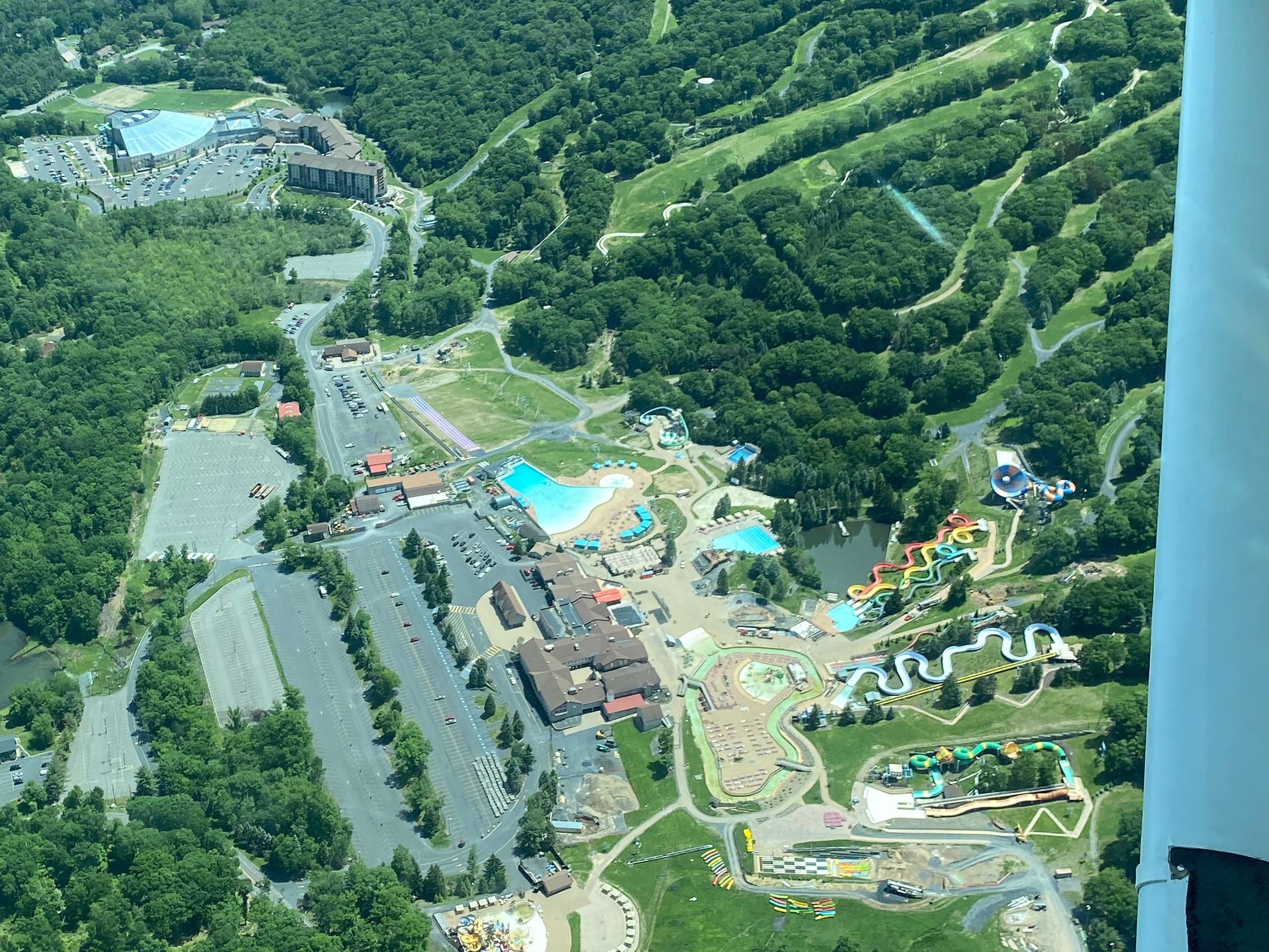
Why Air Tours Around Stroudsburg Are Special
The first thing you notice is scale. From a patch of grass at a small airstrip near Stroudsburg, the Poconos, the Delaware Water Gap, and the contour of the Delaware River all appear to shrink and clarify until they become an intelligible map: ridgelines as anatomical folds, valleys as blue-green veins, lakes as glassy eyes. An air tour is an economy of perspective—forty minutes that compress miles of travel and hours of hiking into a single panoramic read. The region’s mixed hardwood forests, quarry ponds, and winding rivers make particularly photogenic subjects; in fall, the color transition is not just visual but textural, as sunlight picks out contrasts between oak, maple, and birch.
But it isn't only about the colors. Flying gives a sense of how human and wild systems meet here: small towns cluster at river crossings, rail lines trace older economic geographies, and scattered clearings reveal the footprints of old resorts and farms. In winter and early spring, when trees drop their leaves, you suddenly see terraces and old roadbeds that get swallowed in summer. For birders and nature photographers, a flight can be a reconnaissance mission—helpful for planning future land-based excursions. For romantic or celebratory travel, the intimacy of a small plane or helicopter offers a private, cinematic pulse that a roadside overlook rarely matches.
The domestic scale of most local aircraft keeps the experience approachable. These aren't high-altitude airline journeys; instead, they're nimble, often flown under visual-flight rules, with the pilot narrating a route they know intimately. This localized knowledge—shortcuts for light and shadow, the best approach to frame the Water Gap, or where the morning mist tends to form—matters. Operators tend to adapt flights to seasonal highlights and weather windows, so the same route feels different in May and October. There are also cultural and practical tie-ins: many tours launch or end near trailheads, outfitters, and river-access points, making it easy to combine an aerial survey with a day hike, autumn leaf-peeping drive, or a canoe trip. Importantly, flying over these landscapes comes with responsibilities: pilots and passengers should be mindful of noise-sensitive habitats, local wildlife, and the legal constraints of overflight. Operators in the Stroudsburg area typically balance scenic value with stewardly practices, and most welcome questions about responsible routes and the best windows for photography.
In short, the air-tour around Stroudsburg is a condensed, interpretive experience—part natural history lesson, part photographic expedition, and part logistical shortcut for travelers who want a broader sense of the region before committing time to ground-based exploration. It rewards curiosity and patience: the best flights are the ones where you arrive with at least a few questions and the willingness to let the landscape answer them from above.
Air tours from Stroudsburg typically use small fixed-wing aircraft or helicopters, which keep flight paths close to terrain and maximize visual detail.
Seasonality has a big effect: spring greens and fall foliage are peak draws; low clouds and winter storms can limit flights.
The harbor is the gateway, and the Pacific becomes the classroom.
Operators often tailor flights for photography, romantic rides, or short reconnaissance for hiking and paddling plans.
Choose by purpose
Whale watching, snorkeling, sunset sailing, cultural canoeing, harbor sightseeing, or private chartering.
Start near the city
Waikiki and Honolulu Harbor are primary hubs, with some trips launching near Hanauma Bay.
Confirm the vessel
Gangways, shaded seating, and boarding requirements vary according to vessel size and operator.