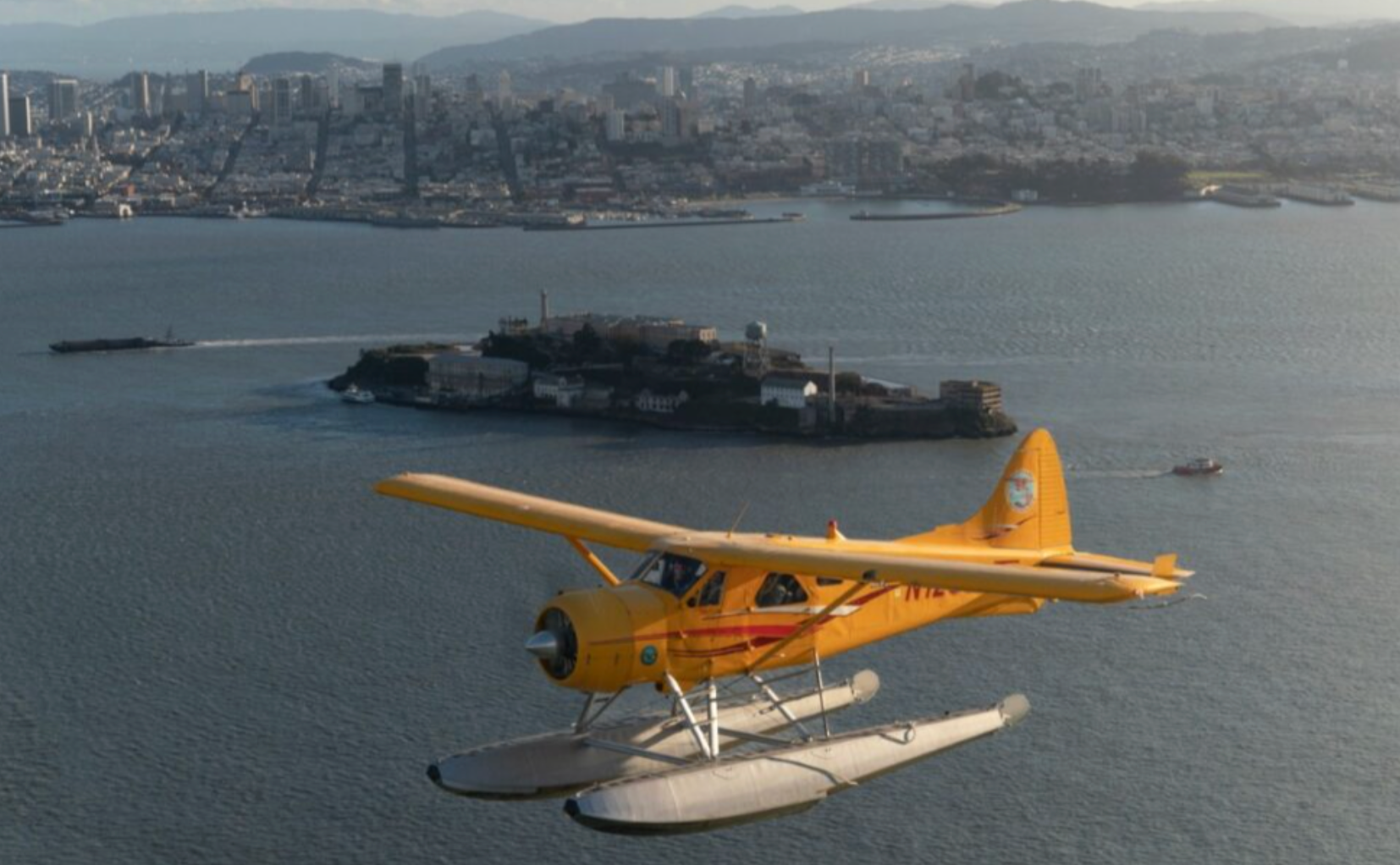
The first time you lift off from the ridgeline above Port Costa you notice how the ordinary becomes geometric: shipping channels trace neat lines across glassy water, the braided fingerprints of tide and current etch the mudflats, and the town’s old brick warehouses shrink into tidy blocks of color. Port Costa sits where river, bay, and hills meet, and that confluence creates a patchwork of terrain that rewards aerial perspective. Pilots and photographers come for the way light slides along the Carquinez Strait—early morning and late afternoon produce warm side-light that models islands, bridge spans, and salt marshes with exceptional depth.
Beyond the immediate shoreline the vista opens: toward the west the familiar silhouettes of the Bay Area’s bridges and industrial piers, to the east the broad estuarine plains and rolling Contra Costa hills, and on a clear day Mount Diablo rises like a geographic anchor to the south. Seasonal shifts change the narrative of a flight—spring inundates marshland with migratory birds and green spillover; summer’s marine layer can create dramatic cloudscapes and pockets of visibility; winter storms bestow stark contrasts and glinting water. The human history of Port Costa—once a grain-shipping terminus and later a railroad stop—adds texture to flights: abandoned quays, old cranes and silos, and the small cluster of preserved buildings read differently from above than they do on foot.
Airplane experiences here are inherently versatile. Short sightseeing hops frame the town and strait for visitors pressed for time; photography-focused charters linger over wildlife-rich estuaries and take tailored passes for camera work; and longer coastal or bay circuits connect Port Costa to a much larger network of aerial experiences across the Bay Area. The proximity of regional general-aviation airports makes logistics straightforward for day trips and private charters, while pilots familiar with local weather and traffic patterns can craft routes that maximize views and minimize noise impact. Importantly, flying over sensitive habitats—tidal marshes, rookery sites, and protected wetlands—requires respect and awareness; reputable operators route flights to avoid disturbing wildlife and comply with federal and local aviation rules.
For travelers who want to combine a flight with ground-based exploration, Port Costa is a natural hub. Launch with an early airborne tour to catch sunrise on the strait, then follow with shoreline walks, birding along tidal flats, or a bike ride on nearby regional trails. Or reverse the day: ground-based recon to scout photo angles, followed by an afternoon flight that translates those angles into sweeping context. Whether you are a casual sightseer, a photographer chasing light, or an aviation aficionado pursuing tailwheel or formation rides elsewhere in the region, Port Costa’s scale and setting make airplane experiences distinctively immediate and memorable.
The patchwork of tidal marshes, shipping channels, and low-lying islands near Port Costa makes for compelling low-level scenic flights and photographic passes; operators will often schedule flights to match tides and migratory seasons for best wildlife viewing.
Because Port Costa is near busy Bay Area airspace, expect routed approaches from nearby general-aviation fields and coordination with regional traffic control. This makes booked flights efficient, but emphasizes the need to choose experienced local pilots who know noise-sensitive corridors and wildlife avoidance practices.
Choose by purpose
Whale watching, snorkeling, sunset sailing, cultural canoeing, harbor sightseeing, or private chartering.
Start near the city
Waikiki and Honolulu Harbor are primary hubs, with some trips launching near Hanauma Bay.
Confirm the vessel
Gangways, shaded seating, and boarding requirements vary according to vessel size and operator.