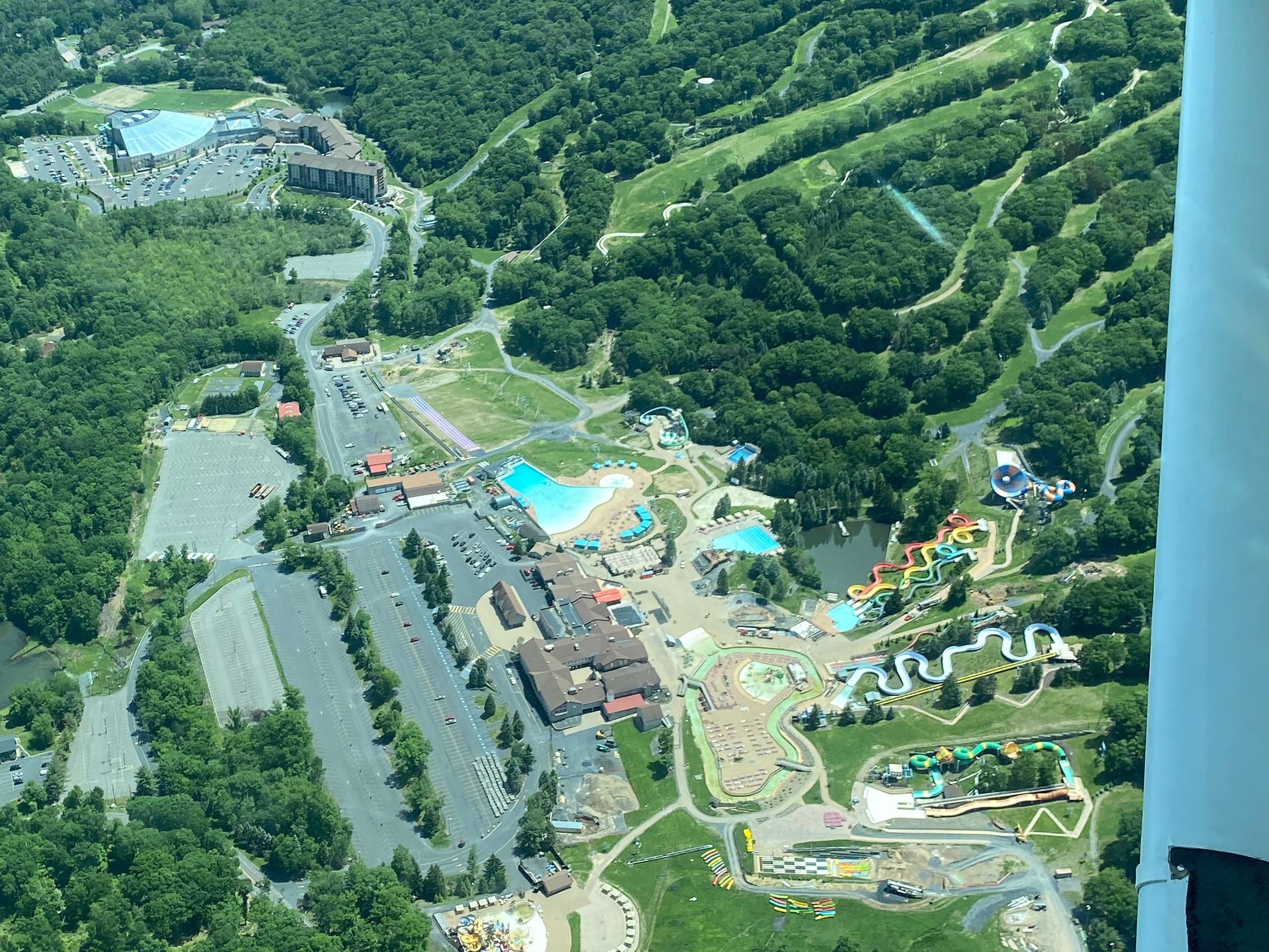
Why an Air Tour Is One of the Best Ways to See Newton
There’s an immediacy to flying that rewrites a place in your head. From the ground Newton sits as a compact county seat—brick storefronts, ridgeline silhouettes, and a scattering of lakes—but from above the region opens into a layered landscape of folded mountains, narrow valleys, and old farmsteads stitched by country roads. An air tour here is less about speed and more about context: you move slowly enough to study the scars and patterns of the land—the terraces where farms once climbed a slope, the bright blotches of quarry faces, the neat rectangles of reservoir margins. The Kittatinny Ridge, a spine running parallel to the Delaware River, becomes readable as an unbroken blue line of forest, its notches and gaps revealing migratory corridors and geological history.
Flying over Newton is especially rewarding because the scenery changes within short distances. In one circuit you can see placid reservoir surfaces that reflect the sky, and in the next you’re skimming an old-growth valley where the forest chokes down into river woodlands. Seasonal shifts amplify the drama: spring brings a flush of new green and storms that carve cloud shadows across the terrain; summer offers long golden light for early and late flights; fall is the clear favorite for leaf-peepers—an aerial vantage where color bands read like a painter’s palette; and winter, when conditions permit, presents a stripped, graphic landscape of stone and snow. For photographers and storytellers, this variety is the draw. For curious travelers, an air tour compresses a day of driving into an hour-long lesson in geography and history.
Beyond scenery, air tours are a practical complement to time on the ground. They make excellent reconnaissance: pilots and operators will point out trailheads, park boundaries, and vantage points worth visiting. After a flight many travelers choose to follow up with a hike at High Point State Park, a paddle on a nearby reservoir, or a rural drive through skyward-looking towns. The experience is accessible—short flights require minimal physical exertion—but it carries particular planning needs. Weather rules the schedule; small-aircraft operators watch winds, visibility, and low clouds closely. Operators also maintain payload limits and safety briefings that shape who can fly and how equipment is carried. Respect for noise-sensitive areas and local wildlife is part of the stewarding conversation between visitors, pilots, and communities: a responsible flight balances spectacle with restraint.
In short: an air tour from Newton reframes familiar northern New Jersey features—ridges, lakes, and small-town grids—into a cinematic geography. It’s a compact, high-value way to understand the region’s natural and human story and to seed subsequent adventures on foot, water, and road.
Short duration, high-impact: most tours are one to two hours and designed for viewing, photography, and orientation rather than long cross-country travel.
Seasonal peaks: fall leaf season and clear late-summer mornings produce the most dramatic visibility; spring offers verdant growth and shutter-worthy contrasts.
The harbor is the gateway, and the Pacific becomes the classroom.
Complementary activities: pair a flight with hiking at High Point State Park, paddling on local reservoirs, or a scenic drive along Kittatinny Ridge.
Choose by purpose
Whale watching, snorkeling, sunset sailing, cultural canoeing, harbor sightseeing, or private chartering.
Start near the city
Waikiki and Honolulu Harbor are primary hubs, with some trips launching near Hanauma Bay.
Confirm the vessel
Gangways, shaded seating, and boarding requirements vary according to vessel size and operator.