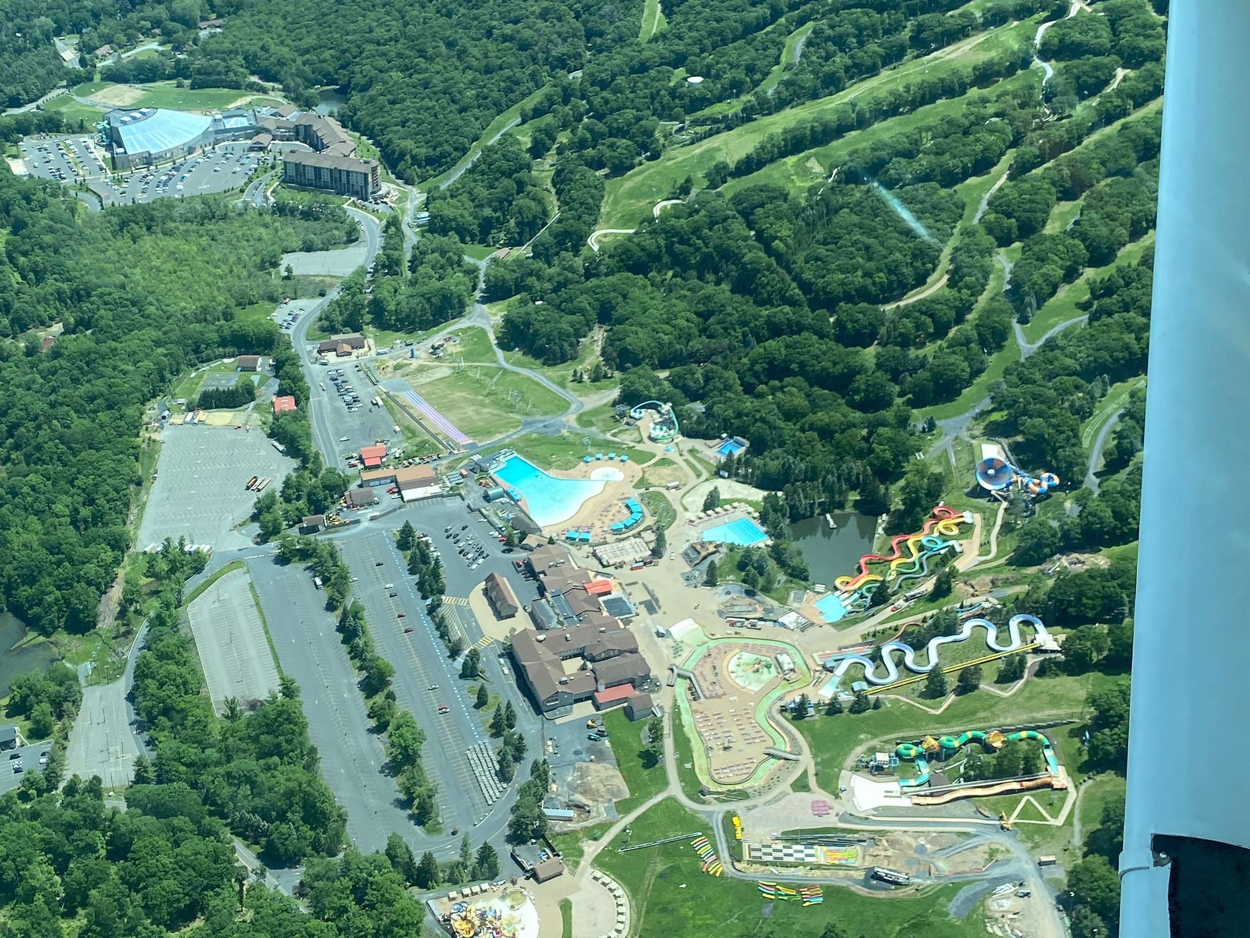
There’s a particular hunger for perspective that air tours satisfy: the sudden reorientation of valleys, the precise geometry of fields and rivers, the way forests read like textured carpets from ten thousand feet. Around Lafayette, that perspective feels intimate rather than grand — the Appalachian ridges are scaled down into tactile lines, lakes tuck into hollows like pockets of glass, and small towns dot the landscape with a human scale that’s almost impossible to read from the interstate. A scenic flight here is not about theatrical mountain peaks so much as complexity in miniature. You fly close enough to see the stone walls that outline old farms and the narrow ribbons of streams that feed the region’s reservoirs; you fly high enough to trace the uninterrupted spine of the Kittatinny and to watch how sunlight sculpts the ridgeline at different times of day.
This region’s mix of agricultural lowlands, hemlock- and oak-dominated slopes, and scattered lakes creates seasonal variation that rewards repeat flights. Spring reveals a patchwork of thawing wetlands and early green; summer adds depth and shadow to the ridges; autumn turns the hills into a slow-moving palette of rusts and golds; winter strips the view back to structure and line, revealing late-season geology and the grid of rural roads. For photographers and cartography-minded travelers, the scale here works in your favor: contrast is present without being overwhelming, and landmarks are close enough to connect from flight to ground. From a planning perspective, aircraft options are typically short-duration: 20–60 minute flights that can be slotted into a day trip or paired with a morning hike at High Point State Park or an afternoon on a local lake. The shortness is part of the appeal—these are purposeful, concentrated experiences that reveal the lay of the land without the commitment of a full-day excursion.
Safety and weather shape the experience more than any other variables. Low cloud, haze, and crosswinds are the primary gating factors; pilots operating here are accustomed to quick weather windows and will often shift departure times to chase calm conditions and the best light. Visibility is at a premium: early morning and late afternoon both offer softer light for photography, while midday often gives the clearest air for longer vistas. Bring an appetite for contrasts—ground-level adventure like hiking, paddling, and fall foliage drives pair naturally with an aerial view. After a flight, your sense of place will be richer and more navigable: you’ll recognize ridges from their shadows, plan hikes with aerial reference points, and find a renewed appreciation for how geology and human settlement interlock in rural northern New Jersey.
Air tours in the Lafayette area emphasize short, interpretive routes that highlight ridgelines, reservoirs, and fall color—ideal for travelers who want an efficient, high-impact experience.
Complementary activities—hiking at nearby state parks, paddling on local lakes, and visiting small farmstands—round out a day that begins with a flight and continues on the ground, using the aerial view to inform how you explore.
Choose by purpose
Whale watching, snorkeling, sunset sailing, cultural canoeing, harbor sightseeing, or private chartering.
Start near the city
Waikiki and Honolulu Harbor are primary hubs, with some trips launching near Hanauma Bay.
Confirm the vessel
Gangways, shaded seating, and boarding requirements vary according to vessel size and operator.