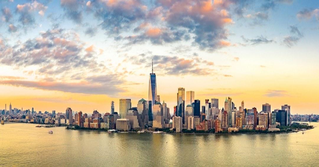
There’s a particular clarity to an aerial view of a suburban river valley: the grid of streets loosens into ribboned wetlands, the ridgelines that feel so large from below shrink into readable curves, and the distant silhouettes of skyscrapers become a luminous punctuation in a low, wide landscape. In Clifton, that vantage is uniquely accessible. The city itself is a patchwork of residential neighborhoods, industrial corridors, and protected green ridges like Garret Mountain; together they create a compact, varied scene for short scenic flights, drone sorties, and helicopter routes that seek a close-in, layered perspective rather than a long cross-country transit.
What makes Clifton useful for air activities is its location. It’s close enough to Newark and New York City that operators based at regional airports can offer skyline and river-corridor experiences while avoiding the long commutes required of more remote launch points. That proximity also means climactic contrasts: flights early in the morning tend to be glassy and still, while afternoons and evenings offer dramatic light and thermals—especially in warm months. Because the surrounding terrain is lower-elevation and largely free of high alpine weather, aerial experiences are often reliable, yet the presence of major airport airspace and the dense metropolitan flight corridors means operators and pilots must be experienced, compliant, and coordinated. For travelers this translates to two practical realities: visibility and views are often excellent, and safety/regulatory considerations shape where and when you can fly.
The cultural texture below the flight path is another draw. Passaic’s industrial heritage, the carved stone of nearby Paterson’s Great Falls, and the suburban sprawl that gives way to parkland create visual cues that make an aerial tour feel layered—historic mills and modern interstates sit next to river bends and tree-lined parks. For photographers and storytellers, that juxtaposition is compelling: an afternoon flight can move from intimate neighborhood rooftops to sweeping river arcs and finish with an iconic skyline frame. For adrenaline travelers, Clifton’s proximity to larger training centers and drop zones in northern New Jersey and the Hudson Valley means tandem skydives and advanced parachuting are reachable with a short drive.
Practically, organizing air activity from Clifton leans heavily on timing and local knowledge. Mornings bring calmer winds and smoother flights; late afternoons can produce dramatic light but also more turbulent air. Weather cancellations are common across all airborne experiences, and operators will often reschedule for the next clear window rather than risk a compromised flight. Finally, because much of the airspace near Clifton is shaped by nearby commercial airports, licensed operators, FAA-sanctioned routes, and local permissions are the norm; for visitors that means booking with established providers, reading preflight instructions carefully, and arriving prepared for security checks and ID requirements.
Air activity variety: Expect short scenic helicopter tours, regional fixed-wing sightseeing flights that trace the Passaic and Hudson corridors, drone photography ops from local parks (where permitted), and access to nearby skydiving and paragliding facilities with a short drive. Each option offers a different trade-off between cost, sensation, and photographic opportunity.
Accessibility and logistics: Clifton’s suburban roads and proximity to major highways make early morning meetups and transfers to nearby airports straightforward. Many aerial operators stage from regional fields; confirm pickup points and allow extra time for traffic and security procedures.
The harbor is the gateway, and the Pacific becomes the classroom.
Scenic highlights from above: The Passaic River’s bends, Garret Mountain’s wooded crest, adjacent industrial complexes that trace the region’s manufacturing past, and—the big prize—the distant Manhattan skyline on clear days. Photographers should plan for both wide-frame shots and compressed telephoto compositions to capture layered foregrounds and background cityscapes.
Regulatory context: Flights that touch the greater New York metropolitan airspace operate under stricter rules. Drone pilots must research local park rules, FAA registration and geofencing, and any temporary flight restrictions (TFRs). For manned flights, licensed operators handle airspace coordination—book through vetted providers.
Choose by purpose
Whale watching, snorkeling, sunset sailing, cultural canoeing, harbor sightseeing, or private chartering.
Start near the city
Waikiki and Honolulu Harbor are primary hubs, with some trips launching near Hanauma Bay.
Confirm the vessel
Gangways, shaded seating, and boarding requirements vary according to vessel size and operator.