Skip to main content
Max Patch Loop: A Crown Jewel of the Appalachian Trail
Asheville
•10.0/10
•Easy
Max Patch Loop: A Crown Jewel of the Appalachian Trail
Category
Natural Landmark
Typical Duration
1 hour
Difficulty
Easy
Photo Gallery
Max Patch Loop: A Crown Jewel of the Appalachian Trail - Asheville
Max Patch Loop: A Crown Jewel of the Appalachian Trail - Asheville
Max Patch Loop: A Crown Jewel of the Appalachian Trail - Asheville
About This Landmark
Max Patch Loop: A Crown Jewel of the Appalachian Trail
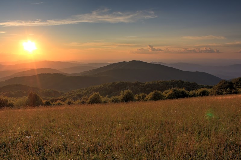
Max Patch isn’t just a hike; it’s a love letter to the Appalachians. Famous for its sweeping, 360-degree views, this 1.5-mile loop trail is a must for anyone looking to experience the beauty of the Blue Ridge in its purest form. Located about an hour from Asheville, this iconic bald is a gateway to both serenity and adventure.
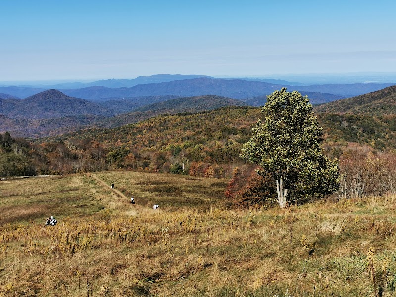
The trail begins at a parking area near the summit, where a short, grassy path leads you to the heart of Max Patch. Almost immediately, you’re greeted by breathtaking vistas that make it hard to keep moving—rolling hills, distant peaks, and valleys stretching into Tennessee and North Carolina seem to ripple endlessly beneath an open sky.
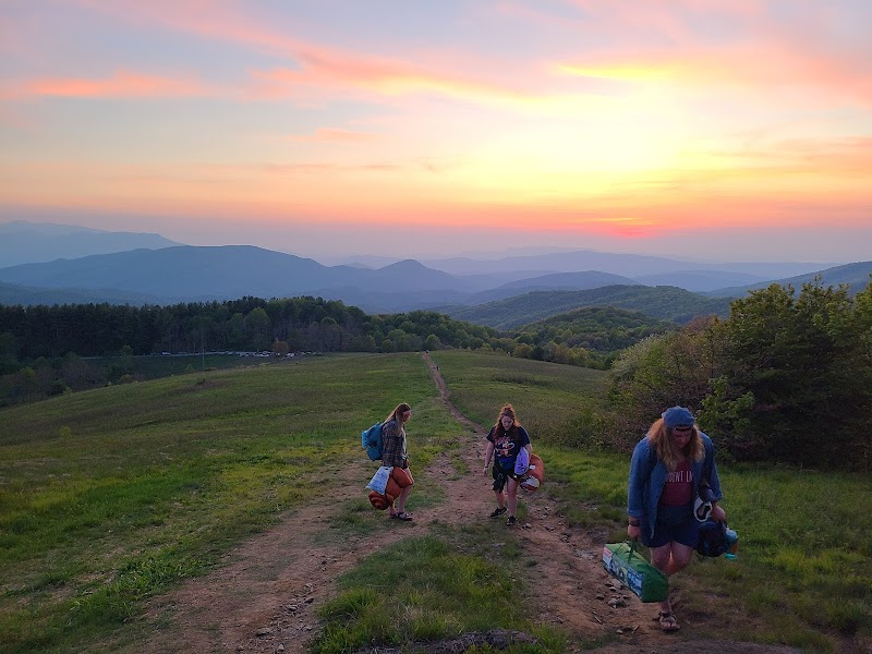
The loop itself is gentle, meandering through fields dotted with wildflowers in spring and lush grasses in summer. On a clear day, the views include landmarks like Mount Mitchell to the east and the Great Smoky Mountains to the west. For sunrise seekers, Max Patch transforms into a golden amphitheater where the sun’s first light paints the landscape in fiery hues.
Whether you’re here for a quick stroll, a picnic with a view, or a gateway into the Appalachian Trail, Max Patch offers an unforgettable experience. It’s a place where time seems to stand still, inviting you to breathe deeply and savor the grandeur of the mountains.
Adventure Guide: Max Patch Loop
Trail Overview
- Length: 1.5 miles round-trip (loop)
- Elevation Gain: Approximately 200 feet
- Difficulty: Easy
- Location: Pisgah National Forest, near Hot Springs, NC
- Best Time to Visit: Year-round, with peak wildflowers in spring and golden grasses in fall
What to Expect
- Trail Features: The trail is a mix of dirt and grass paths, well-maintained and clearly marked. The incline is gentle, making it accessible to most fitness levels.
- Highlights:
- Panoramic views of the Blue Ridge Mountains, Great Smokies, and beyond.
- Seasonal beauty, from wildflowers in spring to fiery fall foliage.
- A tranquil atmosphere perfect for picnics, meditation, or photography.
Tips for Hikers
- Parking: Max Patch has a designated parking lot near the trailhead, but spaces are limited. Arrive early, especially on weekends.
- What to Bring:
- A blanket or camp chair for relaxing on the grassy bald.
- A camera or smartphone to capture the incredible views.
- Layered clothing—the bald is often windy, even in summer.
- Safety Note: The exposed bald offers little shade, so pack sunscreen and plenty of water, especially on sunny days.
Getting There
From Asheville, take I-40 West to Exit 7 for Harmon Den. Follow Cold Springs Road (FR 148) for approximately 8 miles to the Max Patch parking area. The final stretch is on a gravel road, so drive carefully. Travel time from Asheville is about 1 hour.
Fun Fact
Max Patch’s open summit was originally cleared for grazing in the 1800s and has been maintained as a bald ever since, making it one of the most scenic and historically significant spots in the region.
Visitor Tips:
- Best Times: Spring and Fall for cooler temperatures and amazing lighting.
- What to Bring: Water, sunscreen, and a camera!
Ratings
Overall
10.0/10User rating
Experience Level
Easy
Experience Needed: This natural landmark is recommended for those with minimal outdoor experience. Perfect for families and beginners.