
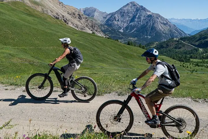
What the day feels like
When the guide tightens your helmet strap and the first rays of alpine sun peel back the dark like a curtain, the valley exhales. Pines release a resinous scent and a thin, clear stream below seems to dare you to move faster—its surface glinting like a line of silver coins. This is Alta Val di Susa: a stitched-together landscape of high lakes, timbered slopes and hard, wind-scoured ridgelines that lead—inevitably—toward the French border. For three hours, with a competent guide and a rental mountain bike, you’ll be moving through layers of history and geology as much as terrain: Roman passes, wartime roads, and glacial basins that made the Alps a kind of natural cathedral.
The route on this guided 3-hour tour is compact but complete. Expect 10–20 kilometers of singletrack and gravel lanes, with roughly 300–600 meters of cumulative climbing—enough to feel athletic but not punished. Trails snake through curtain-like larches, across meadowed shoulders, and down into the stony arms of cirque-like basins. At intervals, you’ll skirt small alpine lakes whose clarity reveals pebbled bottoms and the occasional trout, while the high peaks on the ridge keep an unblinking watch.
Geologically, Alta Val di Susa is a textbook of mountain-building. The Cottian Alps are an assembly of metamorphic slate and gneiss, folded and uplifted where the European and Adriatic plates wrestle. That struggle left the landscape with abrupt escarpments and flat marmot-dotted meadows—perfect terrain for short punchy climbs and fast descents. The human story is layered on top: the Montgenèvre (Monginevro) pass to the west has been a transalpine route since Roman times, and later world wars left scars and fortified trails now repurposed as cycleable paths.
Culture here is quietly Piedmontese. Villages that may be names on a sign—Claviere, Cesana, Bardonecchia—are places where polenta is a constant, mountain cheese is an art, and the dialect carries a soft, French-tinged lilt. Guides on this tour commonly point out shepherd cabins and alpine farms, where hardy cows and the smell of toasted hay are reminders that these are working landscapes. The guide’s stories—about shepherding routes, smugglers’ shortcuts, and the way the winter snows shape summer life—are as much a part of the ride as the switchbacks.
Why book this short guided ride? For many reasons. It’s accessible: the route is designed for riders from beginners to experienced mountain bikers, with expert guides who manage pace and line choice, and bikes and helmets included in the price. It’s scenic and varied—the slow-burning panorama climbs reward you with views across the valley and into France. It’s also portable: in three hours you’ll experience the character of high alpine Italy without committing to a multi-day expedition.
Practical notes that matter on the trail: choose a mid-summer start (June–September) to avoid mud and lingering snow on higher switchbacks, but early morning departures are best—temperatures are cooler, crowds thin, and light is clean for photography. Wear padded shorts and bring gloves: descents can be fast and rough. Hydrate early; alpine air is dry and your body will pay the price if you don’t. Finally, respect pastoral zones: stay on marked trails, yield to grazing animals and their keepers, and avoid cutting switchbacks.
Safety and logistics are straightforward. The guide will brief the group on bike handling, line choice and what to do in tight singletrack. Bring a small repair kit and know how to use a trail pump. If your comfort level is limited, ask for the easier lines—guides expect a mixed group and will keep the pace inclusive. The price typically includes bike rental and helmet, which lowers the barrier to entry for travelers without their own kit.
After the ride, the valley rewards patience. In nearby Susa or Bardonecchia you can find proper mountain cooking: molten polenta with melted local cheese, slow-cooked game ragù, or the thin ribbon pasta tajarin tossed with butter and sage. A small brewery or agriturismo will offer a cold beer and a seat in the sun—perfect for letting legs recover and for a last look at your route winding back into the high ridges.
Who should do this? If you are comfortable on mixed-surface trails, have basic bike-handling skills and enjoy moderate climbs, this tour is an excellent half-day adventure. It’s also a good option for families with older teens or for road cyclists who want a technical taste of mountain biking without a full commitment. For seasoned riders, the route still offers worthwhile scenery and a chance to explore less-traveled alpine trails under a local guide’s eye.
This ride is an encouragement to see borders as lines on a map but continuity on the ground. The mountains don’t care about passports; they care about routes, water and the seasons. By the time you return to the valley floor and the guides start packing bikes into vans, you’ll have a short, concentrated experience of Alpine life—an itinerary that’s equal parts geology, human history and physical challenge. If you go, travel light, ride attentive, and leave nothing behind but tire tracks and stories.
Trail wisdom
Small choices, better day.
Start Early
Begin at first light to avoid heat and catch clear light for photos; trails are quieter and footing is firmer.
Use the Guide
Follow your guide’s line choices—routes can be technical and they’ll point out easier alternatives if needed.
Carry Hydration
Bring at least 1.5–2 liters of water; alpine air is dry and you’ll dehydrate faster than you expect.
Respect Pastures
Yield to grazing animals and avoid shortcutting switchbacks—these measures protect fragile alpine turf.
Local knowledge
Read the place, not just the route.
Watch for native species including Alpine marmot, Golden eagle.
Keep an eye out for wildlife during the transition between areas and habitats. Respect distance guidelines.
The high pastures are sensitive; staying on established trails and packing out waste helps protect fragile alpine flora and grazing ecosystems.
Follow the guide's instructions on size limits, ethical handling, and leave-no-trace practices.
Small alpine lake near the Colle del Sommeiller (seasonal) for a quiet lunch stop. A short detour to a 19th-century military road with panoramic overlooks used in WWI defenses
Locally recommended viewpoints and quiet spots known best to local operators.
Alta Val di Susa has long been a transalpine corridor—the Montgenèvre pass was used by the Romans and remains a historic cross-border route.
Maritime roots and regional tradition shape the waterways and working coasts.
Seasonal guide
Four versions of the same landscape.
Spring
Best forWildflowers · Lower-elevation rides
ChallengesLate snow at high passes · Muddy trails
Spring brings melting snow and carpets of alpine flowers at lower elevations; some higher sections may remain snowbound or muddy.
Summer
Best forStable weather · Full trail access
ChallengesAfternoon thunderstorms · Higher visitor numbers
Summer is the most reliable season for clear trails and warm temps—start early to avoid storms and crowds.
Fall
Best forCrisp air and color · Quiet trails
ChallengesRapid temperature drops · Shorter daylight
Autumn offers clear visibility and golden meadows, but pack layers: temperatures can change quickly.
Winter
Best forSnow scenery · Skiing-season atmosphere
ChallengesTrails usually closed or snow-covered · Requires winter-specific equipment
Winter transforms the valley into a ski landscape; mountain biking in standard form is not recommended unless on groomed snow routes with proper gear.
Operator details
What the booking data adds.
Included
- ✓Mtb and helmet
Not included
- —Transport
- —Meals
Good to know
- ✓Infants are required to sit on an adult’s lap
- ✓Not recommended for travelers with poor cardiovascular health
- ✓Suitable for all physical fitness levels
Pack with intention
What to bring.
Good to know
Common questions.
No—this tour welcomes beginners and provides a balanced route and guide support; basic comfort on a bike is helpful.
Plan the edges
The details that make the day easier.
The Montgenèvre (Monginevro) pass near Alta Val di Susa has been a key transalpine route since Roman times and later served military purposes through multiple wars.
Après-ride, head to a local osteria in Susa or Bardonecchia for polenta with melted local cheese, try tajarin pasta or a slab of cured game—pair with a chestnut honey dessert or a local craft beer for a true mountain finish.
- Closest airport
- Turin (TRN) ~1 hour drive; Typical trailhead: 20–45 minutes from Susa
- Bardonecchia by car; Cell service
- intermittent on high ridges; Permits: none for day rides—check for longer protected-area restrictions.
This route crosses sensitive alpine pastures—stay on established trails, pack out waste, avoid disturbing livestock, and support local guide services that follow Leave No Trace practices.
Explore by topic
Follow the threads.
Keep exploring
Make the story part of the trip.
 Related story
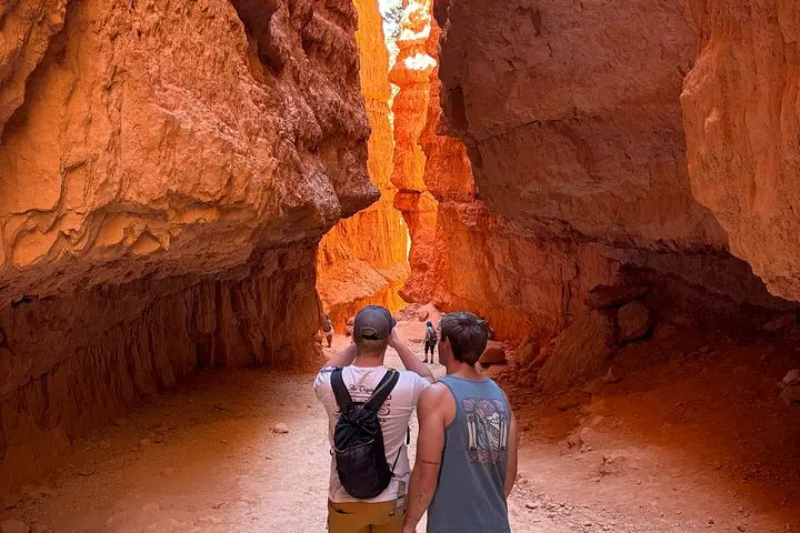
A guided sunrise hike down the Navajo Loop turns Bryce Canyon’s hoodoos from postcard scenery into an intimate geology lesson. Three miles, expert narration, and unforgettable light—this tour is the quickest way to understand how ice, time, and wind carved a city of stone.
 Related story
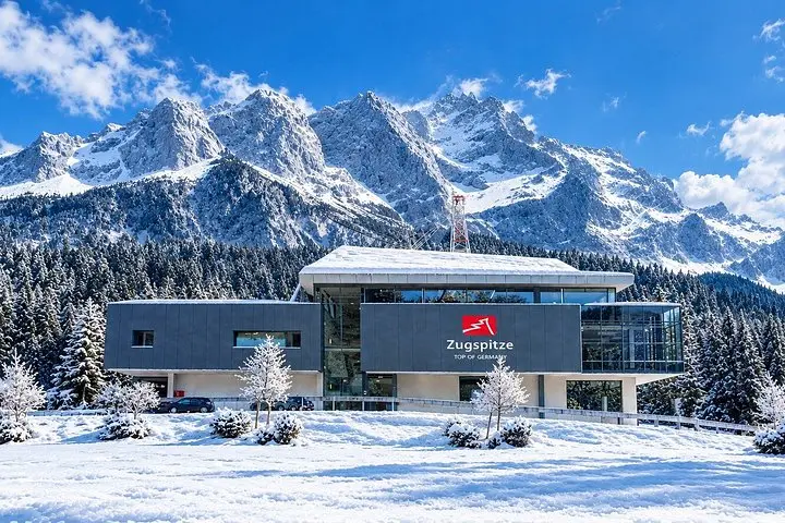
A single-day private tour from Munich that moves from Zugspitze’s wind-scoured summit to the glassy shores of Eibsee, across Austria’s Highline179 suspension bridge, and finishes beneath the turrets of Neuschwanstein. Efficient, scenic, and full of photo moments—here’s how to make the most of it.
 Related story
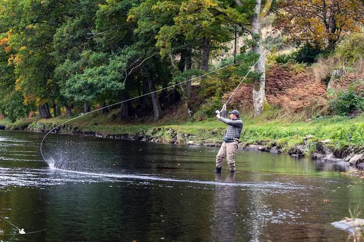
Learn Spey casting and fish classic beats on the River Tay with private instruction and local guides. This full-day experience blends technical coaching with access to waters that reward patience and precision.