Top Scenic Backcountry Canoe and Kayak Routes Near Baxter State Park: Navigating Maine’s Lakes and Rivers
Experience the rugged beauty of Baxter State Park’s backcountry waterways through top canoe and kayak routes that challenge and inspire. Navigate pristine lakes and lively rivers while discovering practical tips to prepare for these scenic yet demanding adventures.
Stay Hydrated with Backcountry Water Filters
Water sources are abundant but untreated; carry a reliable water filter or purification tablets to ensure safe drinking water during your trip.
Wear Non-Slip, Supportive Footwear
Expect wet and slippery portages; shoes should provide both grip and ankle support, especially around rocky or muddy shores.
Start Early to Maximize Daylight
Begin paddling early to avoid afternoon winds common on open ponds and rivers, and ensure plenty of time to reach campsites or exit points.
Pack a Durable Dry Bag
Protect maps, electronics, and extra clothes from splashes or capsizing by investing in a good quality dry bag rated for backcountry use.
Top Scenic Backcountry Canoe and Kayak Routes Near Baxter State Park: Navigating Maine’s Lakes and Rivers
Baxter State Park stands as a fierce guardian of Maine’s wild heart, where lakes and rivers dare you to explore beyond the beaten path. For paddlers craving solitude mixed with raw natural beauty, the backcountry waters around Baxter offer routes that challenge with their quiet power and reward with unfiltered landscape views.
Start your journey at Nesowadnehunk Stream, a flowing ribbon that pushes forward from Nesowadnehunk Lake toward the Penobscot River. This route stretches about 8 miles, weaving through forested banks that lean in close, making you feel part of an intimate waterborne corridor. But don't mistake the calm surface; currents demand respect, especially during the spring thaw. The terrain here sits low, so expect muddy, uneven landings. A solid, shallow draft canoe works best.
Next, consider the few-mile paddle across South Branch Pond. It’s smaller but the surrounding pines and firs shape a shadowy canopy that shifts with the sun’s angle. The pond’s narrow channels thread through islands inviting brief stops—ideal for quiet lunches or photography. Expect stretches where wind exercises its muscle, testing your strokes. This route is 4 miles round trip, flat water, perfect for intermediate paddlers.
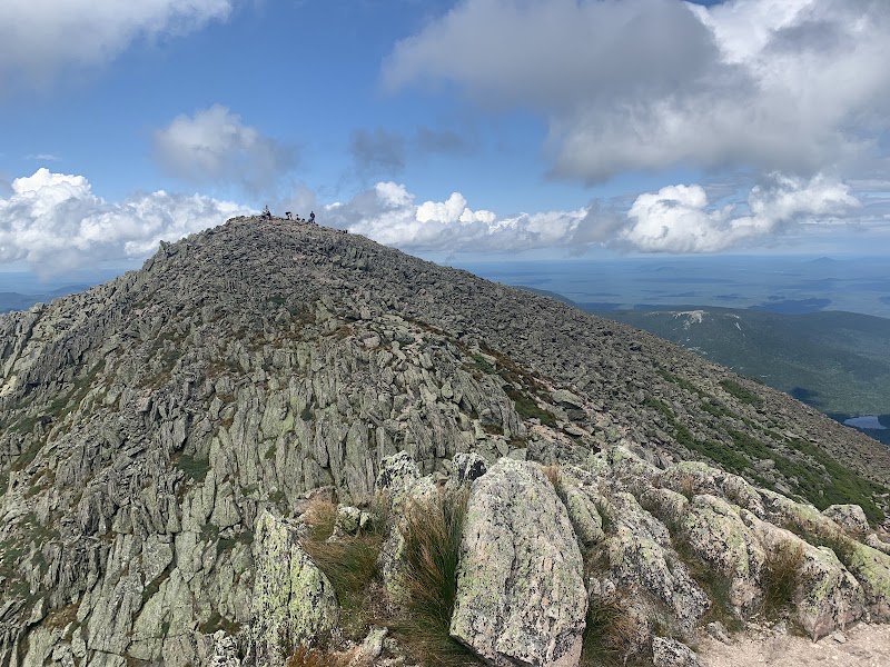
For a longer expedition, the East Branch Penobscot River route extends about 12 miles starting near Canada Falls. The river here carries a spirited flow with occasional riffles that command technical paddling skills. Along the way, rocky outcrops rise sharply from the water’s edge—silent witnesses to the area’s glacial history. Elevated sections offer rare, sweeping views, but be prepared for gear portages around rapids.
When preparing, prioritize hydration since Maine’s backcountry taps are few and far between. Secure footwear with sturdy soles for slippery rocks and wet portages, and pack a durable dry bag to keep gear safe from inevitable splashes. Early summer ensures longer daylight and stable weather, but remain alert to sudden shifts in wind and rain.
Each stroke on these waters is a direct conversation with the landscape, a test of skill and patience. The lakes and rivers here don’t just wait for your arrival—they challenge, shape, and reveal themselves to those who listen carefully and move deliberately. With clear planning and a readiness to adapt, these backcountry routes around Baxter State Park offer a canoeing and kayaking experience that balances the wild with the achievable.
Nearby Trips
All Adventures
Boat Charters
Water Activities
Adventures near Millinocket
Discover the unique and memorable adventures that make Millinocket special.
Frequently Asked Questions
What permits are required for paddling in Baxter State Park?
Temporary permits are generally required for camping within the park, but paddling itself doesn't need special permits. Check Baxter State Park's official website for up-to-date rules, especially for overnight trips.
Are there designated campsites along these canoe routes?
Yes, primitive campsites exist near some lakes and river access points, but they’re few and often remote. Planning ahead and carrying proper permits is essential, as sites fill quickly in peak seasons.
How challenging are the river currents in spring?
Spring thaw swells the rivers, often doubling flow speed and depth. Sections with riffles can be hazardous for beginners. Paddlers should have intermediate to advanced skills and wear life jackets at all times.
Can these routes be done as day trips?
Shorter routes like South Branch Pond are ideal for half-day paddling. Longer routes, such as the East Branch Penobscot River, typically require a full day or overnight plans.
What wildlife can I expect to see along these waterways?
Keep an eye out for moose grazing near ponds, beavers building dams, and occasional bald eagles circling overhead, especially in quieter sections away from human activity.
Are there any environmental concerns to keep in mind?
Yes. Minimize disturbance to fragile shorelines, pack out all trash, stay on water routes to avoid trampling vegetation, and follow Leave No Trace principles to protect this sensitive ecosystem.
Recommended Gear
Lightweight Canoe or Kayak
Choose a craft with a shallow draft for flexibility on rivers and ease during portages.
Waterproof Map and Compass
Navigation tools are critical; GPS may lose signal in dense forest and remote areas.
Dry Bags
Keep essential gear and clothing dry through wet portages and accidental splash.
Insect Repellent
Protect yourself against biting insects common in spring and early summer, especially near slow-moving water.
Local Insights
Hidden Gems
- "Remote islands on South Branch Pond with quiet sandy beaches"
- "Secluded viewpoints atop rocky ledges along East Branch Penobscot River"
Wildlife
- "Moose are common near water’s edge at dawn and dusk"
- "Beaver activity audible in quiet backchannels"
- "Occasional sighting of river otters and bald eagles"
History
"Baxter State Park was donated by Percival Baxter, championing wilderness preservation to maintain the area’s natural state. Historic logging routes intersect some waterways, hinting at past industry."