Wilderness Landscape & Natural Heritage
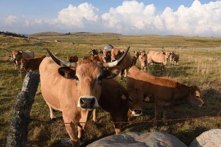
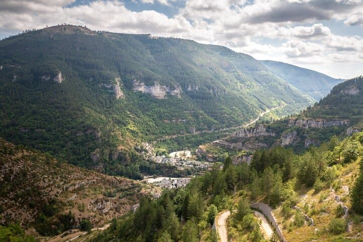
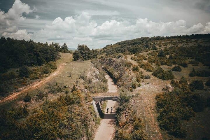
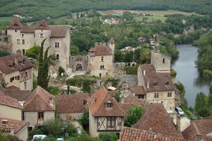
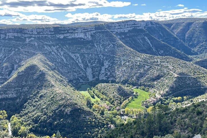
The Regional Natural Park of Aubrac covers approximately 2,700 square kilometers across the departments of Aveyron, Cantal, and Lozère in southern France. This protected area features expansive volcanic plateaus with altitudes ranging from 1,000 to 1,450 meters, characterized by rolling grasslands, peat bogs, and dramatic volcanic formations. The park is an important pastoral landscape where traditional cattle farming, especially the famous Aubrac cattle breed, continues to shape the environment and local culture. Ecologically, the park hosts a variety of habitats, including heathlands, forests dominated by beeches and spruces, and wetlands that support diverse plant species and wildlife such as red deer, golden eagles, and rare amphibians. The rich cultural heritage is evident in its traditional rural villages, Romanesque churches, and the historic pilgrimage route of Saint James (Le Chemin de Saint-Jacques). Key recreational opportunities include hiking on extensive trail networks that cross open meadows and volcanic ridges, cycling, horseback riding, fishing in crystal-clear streams, and winter sports like cross-country skiing. Visitors are often drawn to notable landmarks such as the Signal de Mailhebiau, the highest point in the park, and the charming village of Laguiole, renowned for its handcrafted knives. The park provides a tranquil natural retreat with authentic rural atmosphere, ideal for outdoor enthusiasts seeking scenic landscapes combined with cultural immersion.