Wilderness Landscape & Natural Heritage
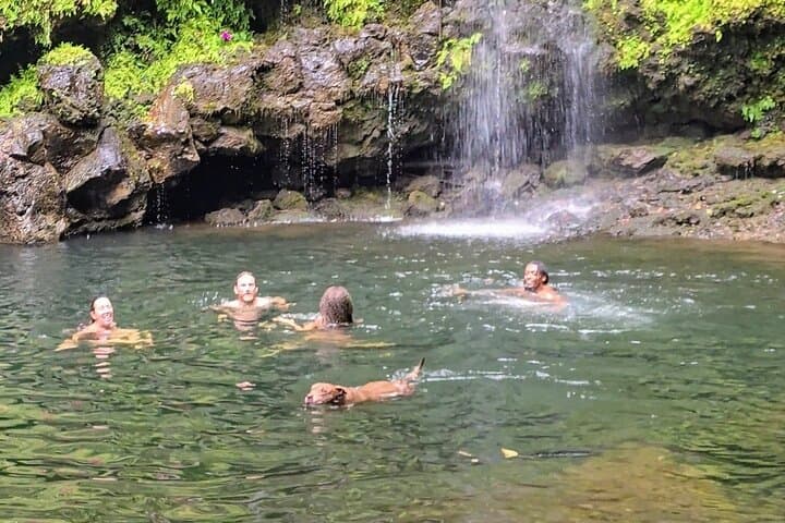
The Umauma Stream Management Area is located on the northeastern coast of Hawaii’s Big Island, encompassing the Umauma River watershed and its surrounding riparian zones. This area is managed primarily to protect water quality, native ecosystems, and cultural resources while supporting low-impact recreation. The terrain includes steep valleys, dense tropical vegetation, and volcanic soil formations that create natural terraces and waterfalls. Ecologically, it is home to several endangered Hawaiian waterbirds, native fish species, and endemic plant communities that rely on the area’s pristine freshwater streams and wetlands. Historically, the land holds cultural significance to Native Hawaiians, especially relating to water management (ahupua‘a systems) and traditional uses. Recreation opportunities include hiking along trails that offer waterfall views, birdwatching, and photography. While the area is less developed than major parks on the island, its blend of scenic riverine landscapes and biological diversity attracts outdoor enthusiasts interested in Hawai‘i’s natural heritage and conservation efforts. Visitors can explore interpretive signage that highlights local ecology and cultural histories. The management area also serves as a critical buffer supporting adjacent agricultural lands by preserving watershed health. Overall, the Umauma Stream Management Area provides an inviting outdoor destination rich in natural and cultural resources with emphasis on sustainable stewardship.