Wilderness Landscape & Natural Heritage
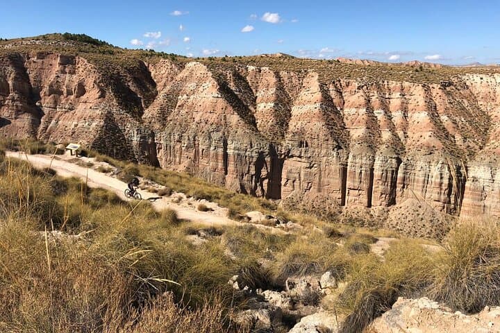
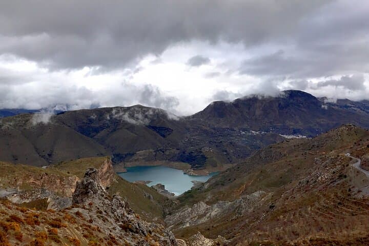
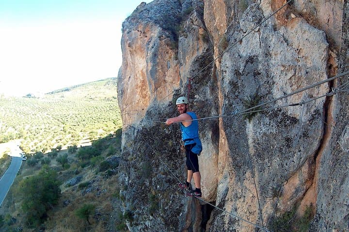
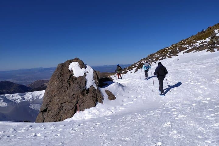
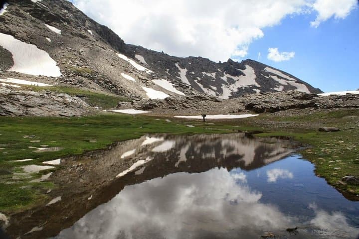
Sierra de Baza Natural Park, located in the province of Granada in Andalusia, Spain, encompasses an extensive mountainous terrain marked by rugged karst formations, deep river gorges, and dense Mediterranean forests. Spanning over 21,000 hectares, the park is characterized by its limestone geology which has sculpted numerous caves, cliffs, and ravines, providing a dramatic and varied landscape. The park’s elevation ranges from approximately 800 meters at its lowest valleys up to 2,270 meters at its highest peak, Calar de Santa Bárbara, offering diverse microclimates and habitats.
Ecologically, the park supports a broad array of Mediterranean flora, including holm oaks, Aleppo pines, and endemic species such as the Spanish Ibex and the elusive Bonelli’s eagle. The diverse biomes range from semi-arid scrublands to humid forests, creating an ideal refuge for several protected species of birds and mammals. Historically, the park area has remnants of ancient grazing lands and traditional rural villages, reflecting a long human presence intertwined with the natural environment.
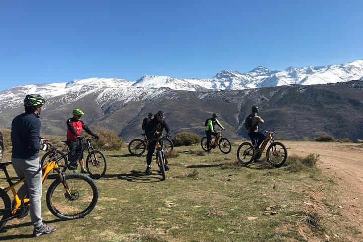
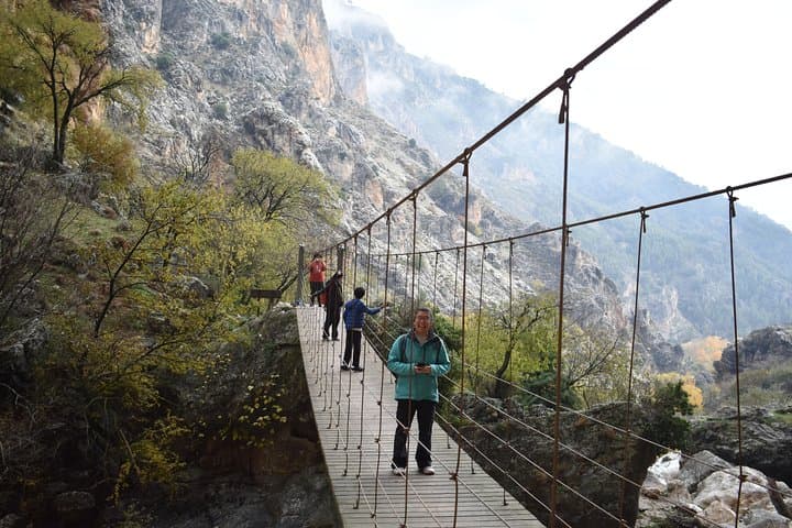
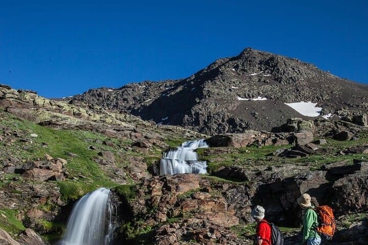
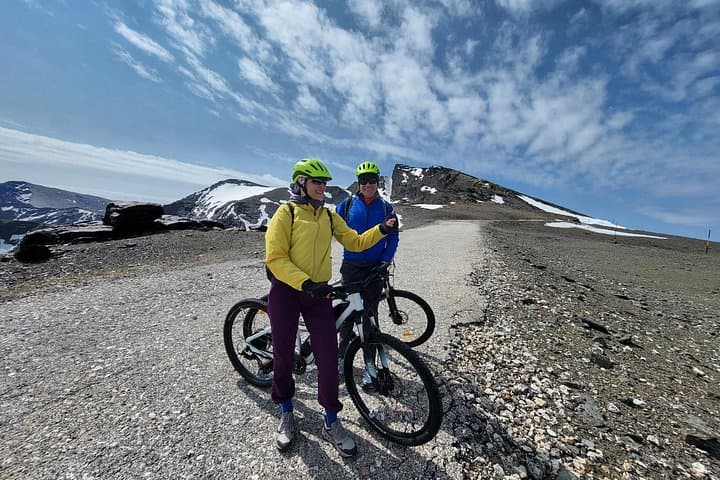
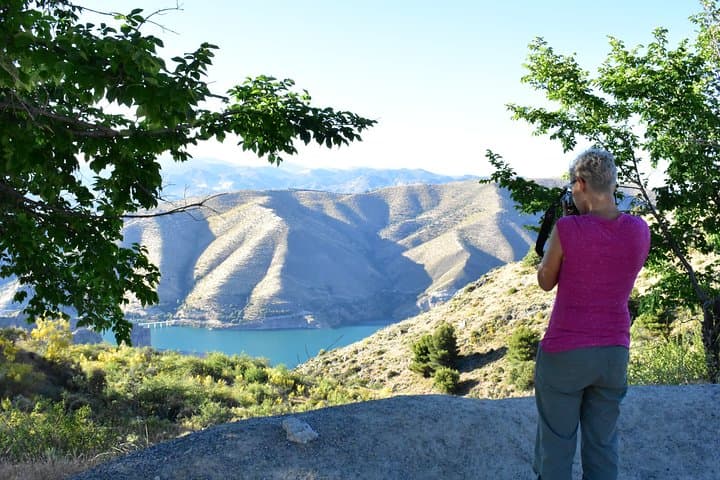
Visitors are drawn to Sierra de Baza for hiking, mountain biking, birdwatching, and nature photography. The park offers numerous trails that traverse its valleys, summits, and natural springs, such as the popular route to the Cerrico del Santo viewpoint. The park is also internationally recognized for its role in preserving biodiversity and geological heritage, offering environmental education and cultural experiences. The nearby towns provide amenities and access points, allowing visitors to explore both natural wonders and Andalusian heritage.