Wilderness Landscape & Natural Heritage
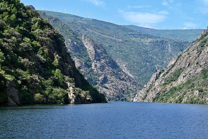
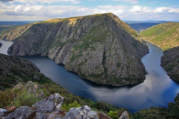
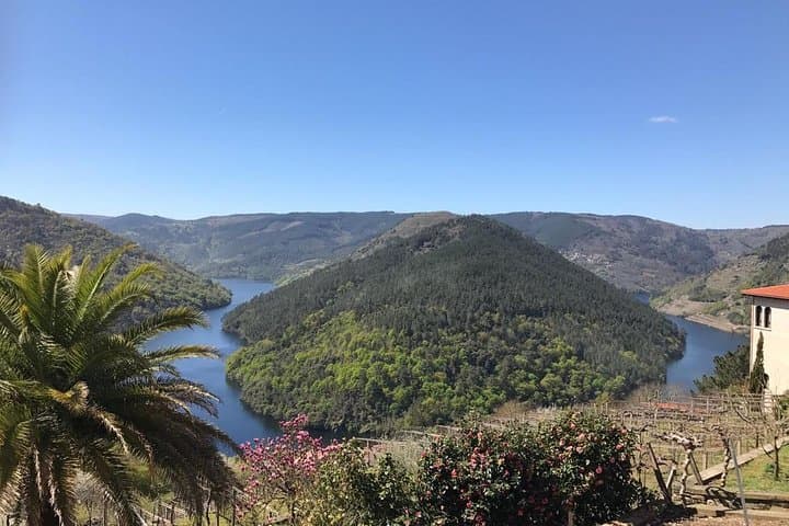
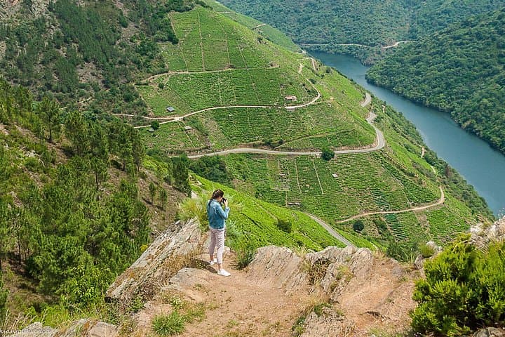
Serra do Caurel Natural Park, located in the southeastern part of the province of Lugo in Galicia, Spain, encompasses a dramatic series of granite mountains that form the westernmost foothills of the Cantabrian Mountains. Characterized by steep valleys, deep gorges, and crystalline rivers, the park covers an area of over 15,000 hectares with elevations ranging up to nearly 1,800 meters at its highest peaks like Pena Trevinca. This rugged terrain supports a rich mosaic of ecosystems including dense oak and chestnut forests, heathlands, and alpine meadows that shelter a variety of flora and fauna. The park is notably one of the last refuges of the endangered Cantabrian capercaillie and is home to wild wolves, otters, and numerous bird species, making it a prized destination for wildlife enthusiasts. Historically, the Serra do Caurel has been shaped by rural mountain communities practicing traditional agriculture, hunting, and preserving cultural landmarks such as ancient stone villages and Roman gold mining remains. Outdoor enthusiasts are drawn to the park's extensive trail network which includes routes following river gorges, climbing mountain summits with panoramic views, and exploring deep forested valleys. Popular landmarks include the ancient village of Piornedo, the River Lor, and the stunning Sil River Canyon. The park’s combination of natural beauty, biodiversity, and cultural heritage provides visitors with immersive experiences in hiking, birdwatching, mountain biking, and photography. Its relatively remote location helps preserve a tranquil wilderness atmosphere, appealing to visitors seeking solitude and authentic nature encounters.