Wilderness Landscape & Natural Heritage
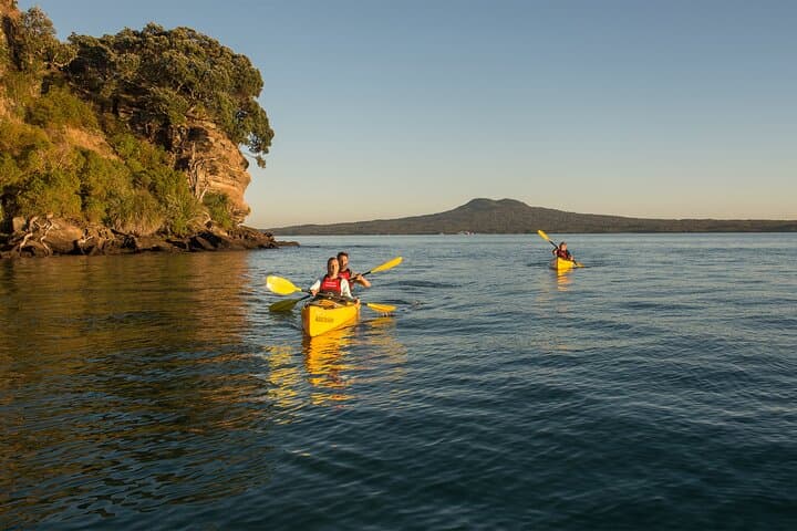
Rangitoto Island is the youngest and most iconic volcano in the Auckland volcanic field, located about 8 kilometers northeast of central Auckland, New Zealand. Formed approximately 600 years ago through a series of volcanic eruptions, Rangitoto’s dramatic black lava fields and caves are unlike any other place in the region. Covering roughly 2,330 acres (943 hectares), the island rises steeply with a distinct symmetrical cone, standing 260 meters (853 feet) above sea level. Despite its volcanic origins, the island supports extensive pohutukawa forest, a rare and important ecosystem that dominates New Zealand’s coastal environments. Rangitoto is a protected reserve managed by the Department of Conservation and Auckland Council, emphasizing preservation of its unique geological and ecological features. It is accessible by regular ferry services from downtown Auckland, making it a popular destination for day visitors, hikers, bird watchers, and kayakers. Key outdoor activities include hiking up to the summit for sweeping views across the Hauraki Gulf, exploring lava caves formed from cooled molten rock, and snorkeling in adjacent marine areas. No permanent residents live on the island, which helps maintain its pristine condition and wildlife habitat. Rangitoto also holds cultural significance for Māori as a landmark and source of natural materials. Its rugged terrain, rare flora, and volcanic geology provide an intriguing experience for explorers and nature lovers alike.