Wilderness Landscape & Natural Heritage
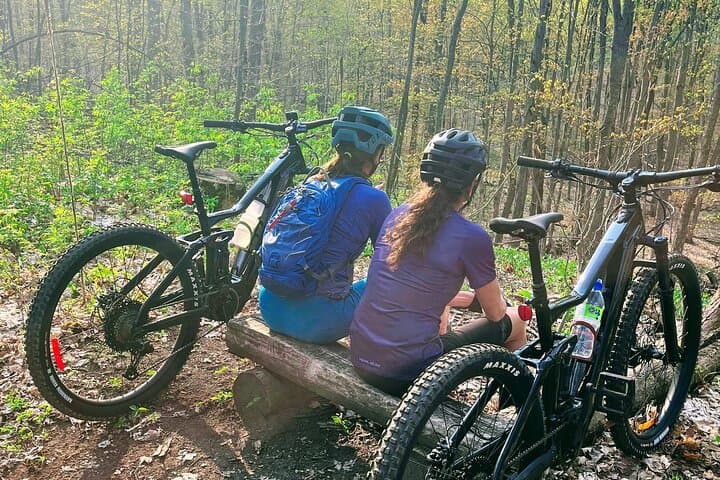
The Nottawasaga Valley Conservation Authority (NVCA) oversees approximately 55,000 acres of protected lands, wetlands, forests, and waterways across southern Ontario, primarily within the watershed of the Nottawasaga River, which drains into Georgian Bay. This region features varied landscapes including deciduous and mixed wood forests, wetlands, meadows, and riverine ecosystems that support abundant native wildlife. NVCA lands preserve natural habitats and buffer urban development around communities such as Barrie, Collingwood, and Alliston. These areas are rich in biodiversity, hosting species such as white-tailed deer, beavers, a variety of songbirds, and several fish species including trout and bass. The NVCA manages several conservation areas and parks that provide accessible outdoor recreation including hiking trails, picnic sites, fishing spots, and canoe/kayaking routes. Popular locations include Earl Rowe Provincial Park, Copeland Forest, and the Cranberry Marsh, all offering well-maintained trails and natural features like hardwood forests and marsh ecosystems. The Authority also focuses on water quality protection and flood control through land stewardship and infrastructure projects. In addition to outdoor activities, NVCA lands have historical significance rooted in Indigenous heritage and early settler communities. Visitors enjoy a balance of active recreation, wildlife viewing, and quiet natural retreats within proximity to urban centers in Ontario, making these lands a valuable regional resource for conservation and public enjoyment.