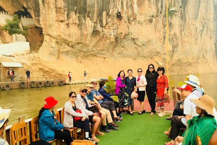
Wilderness Landscape & Natural Heritage
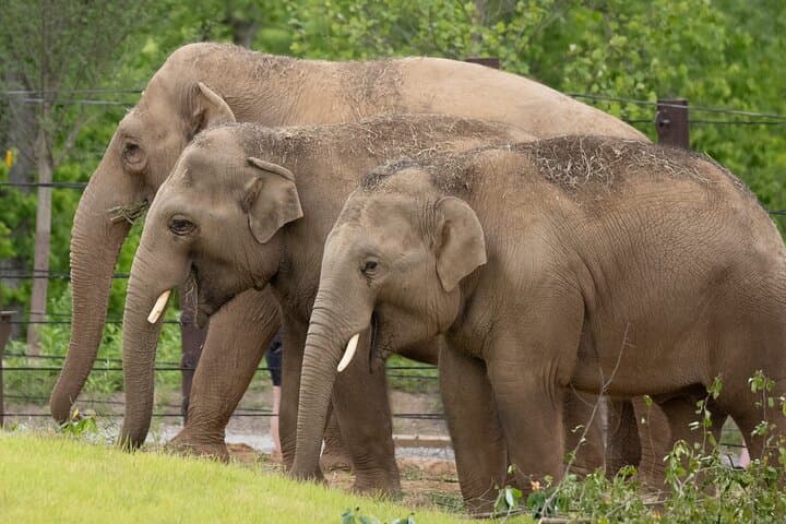
Doi Phu Kha National Park, located in Nan Province in northern Thailand, encompasses an area of approximately 1,704 square kilometers. It features the highest peak in the region, Doi Phu Kha, standing at 1,910 meters above sea level. The park is part of the Luang Prabang mountain range on the border with Laos, providing rugged terrain with deep valleys, limestone cliffs, and extensive forest cover dominated by evergreen and deciduous tree species. Doi Phu Kha is famous for its ecological significance, hosting rare plant species such as the Chomphu Phu Kha tree (Bretschneidera sinensis), which blooms pink flowers that carpet the forest floor each year. This park is also home to diverse wildlife including Asian elephants, deer, gibbons, and numerous bird species, supporting rich ecosystems generally less disturbed by human activity.
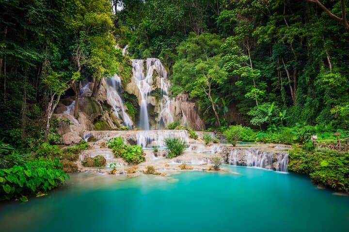
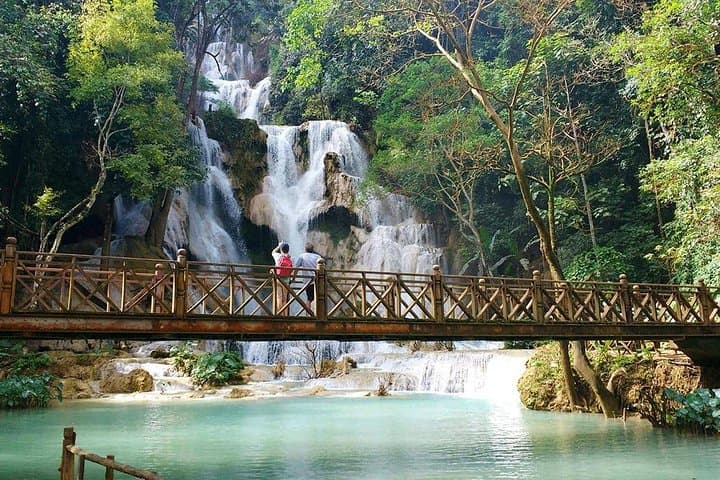
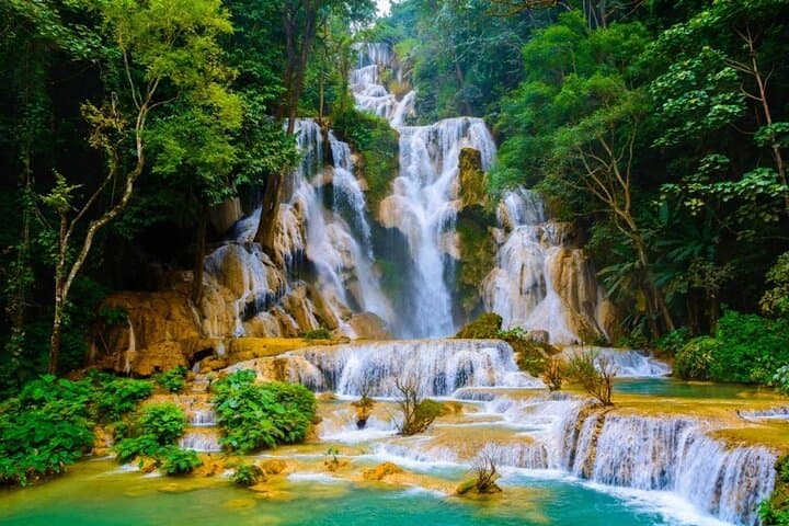
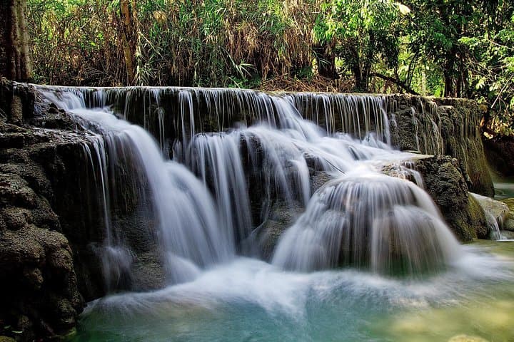
Established in 1999 as Thailand’s 109th national park, Doi Phu Kha offers visitors an opportunity to explore one of the country’s less commercialized natural areas. Hiking is a primary recreation activity here, with trails winding through forests, past waterfalls, and scenic viewpoints. The park’s Chalerm Rattanakosin waterfall and Phu Pha Noi cliff are popular landmarks. Visitors also experience cultural insight by visiting hill tribe villages in the area. The mixed evergreen forests provide excellent conditions for birdwatching and nature photography, especially during the flowering seasons in early spring. The park’s relatively remote location and limited facilities appeal to travelers seeking peaceful outdoor experiences.
Recreation includes trekking, camping, wildlife observation, and seasonal botanical viewing. Though the park is less developed than some others in Thailand, signage and trail markers guide visitors. The best time to visit is during the cool, dry season from November to February when temperatures are mild and rainfall minimal, offering clear mountain views and comfortable hiking conditions.