Wilderness Landscape & Natural Heritage
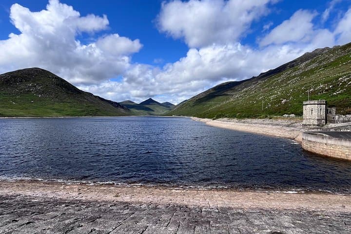
The Cooley Mountains Special Area of Conservation (SAC), located in County Louth on the Cooley Peninsula, is a highly valued conservation area designated under the EU Habitats Directive. Characterized by its distinctive rugged quartzite ridges and plateaus, the area rises up to Slieve Foy at 588 meters, the highest peak in County Louth. The landscape was shaped by glacial activity, creating an interplay of steep slopes, craggy outcrops, natural lakes, and heathlands. Ecologically, the SAC supports a mosaic of habitats including upland heath, limestone pavements, blanket bog, and species-rich grasslands, which provide sanctuary for rare and protected flora such as the Irish saxifrage, a globally rare plant. The area is also important for fauna including red grouse, peregrine falcon, and several bat species. Archaeological sites and ancient monuments dot the landscape, reflecting human presence dating back thousands of years, including Iron Age hill forts and medieval remains. Outdoor enthusiasts are drawn to the Cooley Mountains for its scenic hiking trails, notably the Slieve Foy summit route and the longer Cooley Way walking trail, offering panoramic views over Carlingford Lough and the Mourne Mountains. The blend of natural beauty and cultural heritage appeals to photographers, walkers, bird watchers, and equestrians alike. Managed by the Irish National Parks and Wildlife Service alongside local conservation bodies, the area is protected to maintain biodiversity, traditional land use, and sustainable recreation. Its proximity to Carlingford and Dundalk makes it accessible yet unspoiled, ideal for visitors seeking a blend of rugged adventure and tranquil nature.