Wilderness Landscape & Natural Heritage
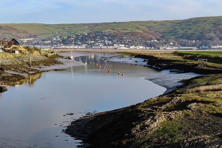
The Cambrian Mountains Geopark spans a large portion of mid-Wales and is characterized by its rolling uplands, deep valleys, and extensive peat bogs. Its landscape is shaped by ancient geological formations dating back hundreds of millions of years, including Precambrian and Ordovician rocks, making it an important region for earth science studies. The Geopark encompasses parts of the historic counties of Ceredigion, Powys, and Carmarthenshire, spreading across thousands of acres of protected upland and moorland. Its remote and sparsely populated terrain offers an ideal setting for outdoor recreation such as hiking, mountain biking, and horse riding along rugged trails and quiet country lanes. Several reservoirs and rivers, like the Afon Teifi, flow through the area, supporting diverse aquatic life and fishing opportunities. The flora includes heather moorland, native woodlands, and rare plant species adapted to the heath and bog ecosystems. Animals like red kites, otters, and rare upland birds can be spotted across the region. Historically, the area has traces of ancient mining activities, prehistoric sites, and historic drovers’ roads, providing cultural insight alongside its natural appeal. Visitor attractions include clear vistas from peaks like Pumlumon and dispersed villages with friendly hospitality. The Geopark aims to promote sustainable tourism and conservation while educating visitors about the region’s natural heritage and geological significance.