Wilderness Landscape & Natural Heritage
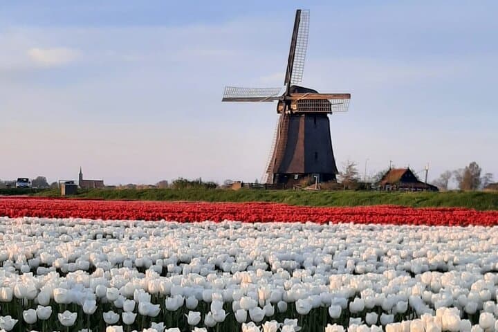
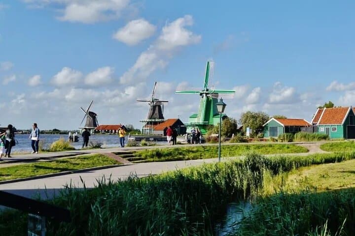
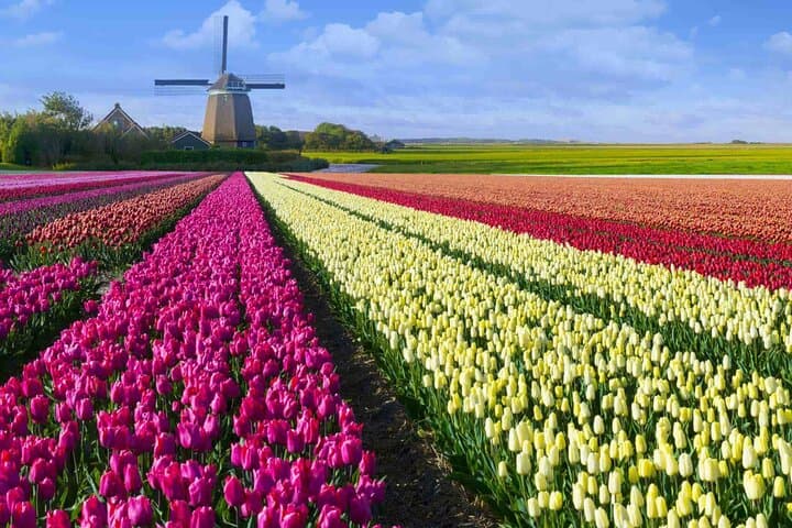
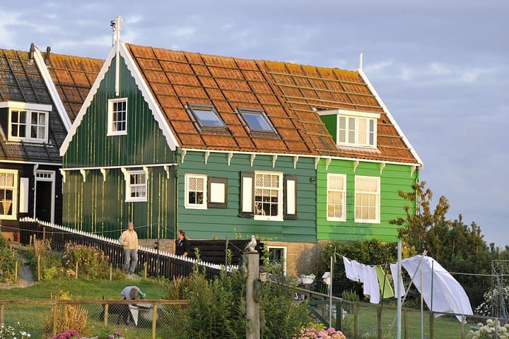
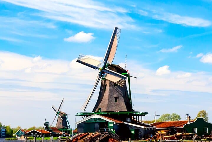
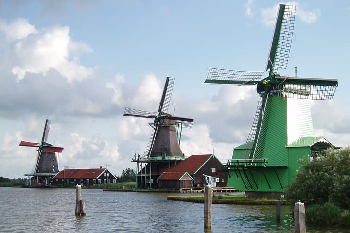
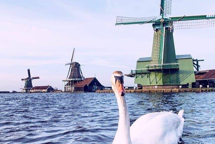
Beemster Polder is a remarkable example of early 17th-century land reclamation in the Netherlands, located about 30 kilometers northwest of Amsterdam. The polder was created between 1609 and 1612 by draining a lake through a system of dikes, canals, and windmills, transforming the waterlogged peat landscape into fertile farmland. Covering approximately 33 square kilometers, the polder features a regular grid of fields, roads, canals, and villages laid out in a symmetrical, geometric pattern, reflecting Renaissance ideals of order and rationality. It is recognized as a UNESCO World Heritage Site for its cultural and historical significance as one of the first major planned polders that influenced land reclamation worldwide. The landscape is predominantly agricultural, with traditional Dutch farmhouses, small historic towns such as Purmerend and Middenbeemster, and characteristic drainage canals. Outdoor recreation in Beemster Polder centers on cycling along flat, safe bike paths that trace the canals and country roads, and walking tours that explore the historic villages and landmarks. Birdwatching is also rewarding as the area supports various wetland species. Notable landmarks include the preserved windmills used historically for water management and the unique Dutch polderscape which showcases intricate hydraulic engineering. The polder's accessibility and scenic rural environment appeal to visitors interested in history, landscape architecture, and leisurely outdoor activities.