Wilderness Landscape & Natural Heritage
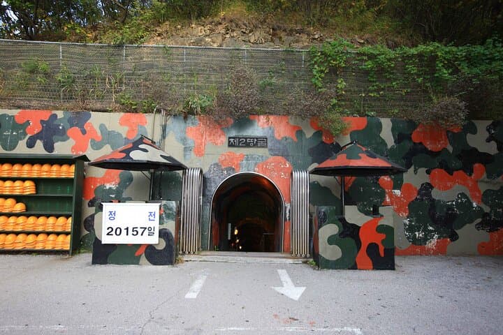
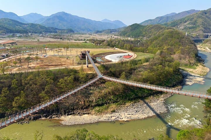
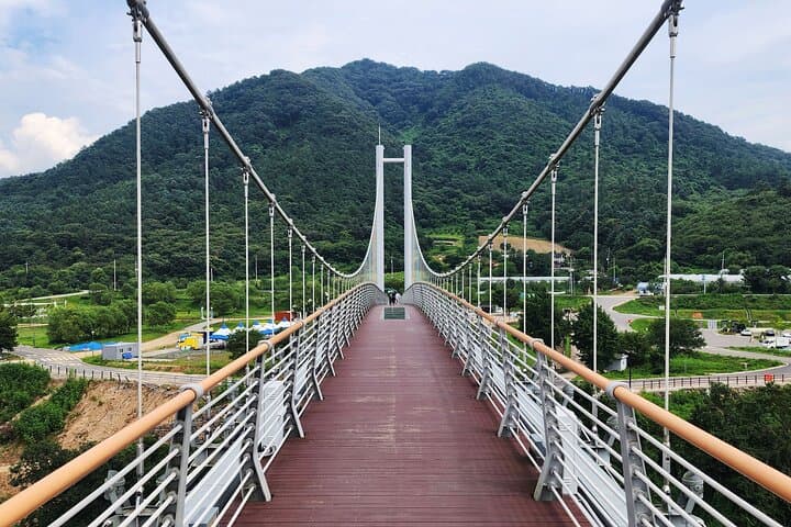
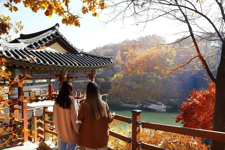
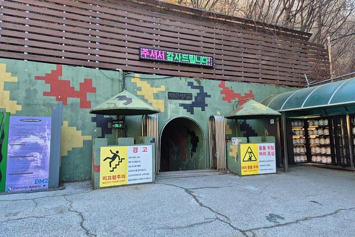
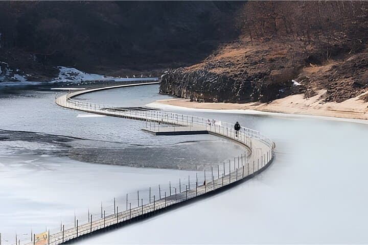
Hantangang River Geopark stretches along the Hantangang River, a vital tributary of the Imjin River, in the northeastern region of Gangwon-do, South Korea. The geopark is distinguished by its dramatic volcanic landforms, including columnar basalt rock formations, ancient lava flows, and fault zone structures that narrate the region’s turbulent geologic past. The area offers visitors scenic river gorges lined with rugged cliffs, natural caves, and crystal-clear waters, creating a uniquely scenic environment for outdoor recreation. Ecologically, the geopark is home to diverse flora and fauna, including rare and protected species unique to the Korean Peninsula’s temperate forest ecosystem. Historically, the region was significant during various periods, including the Korean War, with underground caves once used for military purposes, adding cultural depth to the natural landscape. Outdoor enthusiasts can enjoy well-maintained hiking trails that range from gentle river walks to more challenging mountain paths, with viewpoints offering panoramic vistas of the river’s meanders and surrounding forest. Seasonal changes reveal vibrant autumn foliage and blooming wildflowers in spring, enhancing visitor appeal. Notable landmarks include the Yongpyeong Cave, a lava tube renowned for its geological formations, and the Haengjusanseong Fortress, which provides a combination of historical insight and scenic views. The geopark is especially popular among hikers, photographers, and nature lovers, providing a peaceful escape into nature with a blend of natural wonders and cultural heritage.