Skip to main content
Hiking to the Summit of Mount Katahdin via Hunt Trail
Explore the challenging 10.4-mile round-trip Hunt Trail to the summit of Mount Katahdin in Baxter State Park, Maine. As the highest peak in Maine, this hike offers breathtaking views and rugged terrain. Best suited for those in good physical condition.
Baxter State Park
•8.8/10
•Hard
Hiking to the Summit of Mount Katahdin via Hunt Trail
Category
Hiking
Typical Duration
2-4 hours
Difficulty
Hard
Photo Gallery
Hiking to the Summit of Mount Katahdin via Hunt Trail - Baxter State Park
Hiking to the Summit of Mount Katahdin via Hunt Trail - Baxter State Park
Hiking to the Summit of Mount Katahdin via Hunt Trail - Baxter State Park
About This Landmark
Hiking to the Summit of Mount Katahdin via Hunt Trail
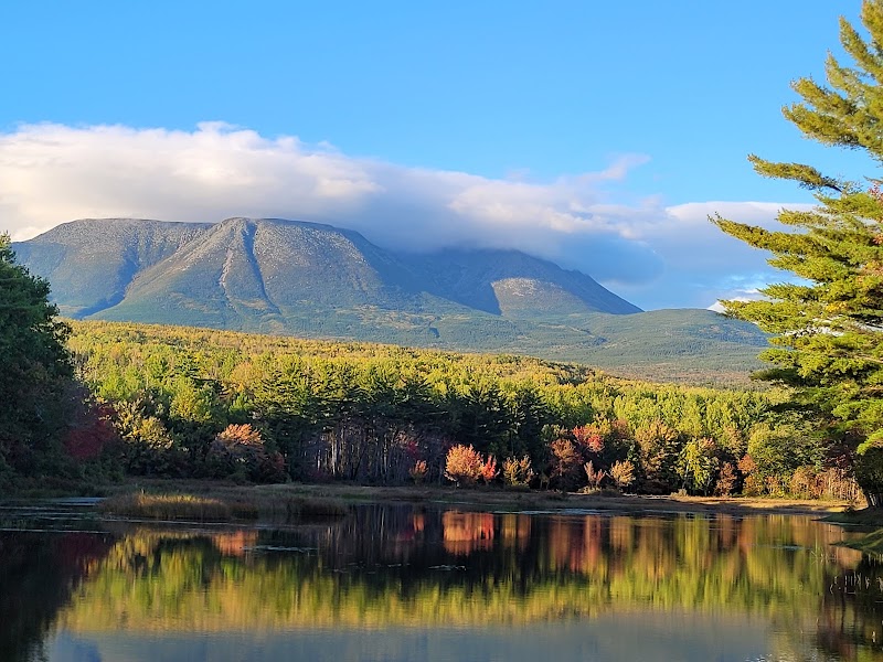
Baxter State Park, located in the rugged wilderness of Maine, offers a plethora of natural beauty and outdoor adventure, with Mount Katahdin standing as its crown jewel. Hiking to the summit of Mount Katahdin via the Hunt Trail is a challenging yet rewarding experience, offering breathtaking views and a sense of accomplishment. Here's everything you need to know to make the most of your hike.
Introduction to Mount Katahdin and the Hunt Trail
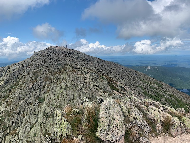
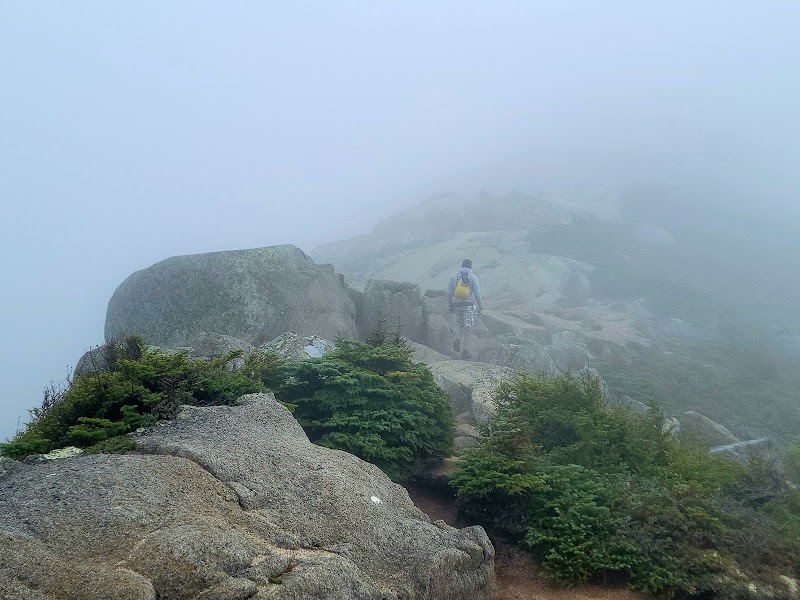
Mount Katahdin is the highest peak in Maine, reaching an elevation of 5,269 feet. It is also the northern terminus of the Appalachian Trail. The Hunt Trail, one of the main routes to the summit, is a 10.4-mile round-trip journey that is both physically demanding and visually stunning. This trail is not just a hike; it's an adventure that encompasses forested pathways, boulder scrambles, and the famous Knife Edge, a narrow ridge leading to the summit.
What You Need to Know Before You Go
- Preparation: This hike is strenuous and requires good physical condition. Prepare by hiking other less challenging trails and gradually increase your stamina.
- Gear: Wear sturdy hiking boots, bring layers of clothing to adapt to changing weather conditions, and pack plenty of water and high-energy snacks.
- Permits: Baxter State Park requires a day-use parking reservation for the Katahdin trails during the peak season. Plan and book ahead.
- Safety: The weather on Mount Katahdin can change rapidly. Check the forecast, start early to avoid being on the trail late, and always stay on marked paths.
Interesting Facts and History
- Historical Significance: The Penobscot Indians named it "Katahdin," meaning "The Greatest Mountain."
- Natural Wonder: The area surrounding Katahdin is home to diverse wildlife, including moose, black bears, and a wide variety of bird species.
- Trail Legacy: The Hunt Trail was established in the early 20th century and has been a path for countless hikers seeking the summit's panoramic vistas.
Tips and Local Knowledge
- Best Time to Visit: Late summer and early fall offer the best weather conditions, fewer bugs, and vibrant autumn foliage.
- Leave No Trace: Preserve the natural beauty of the park by following Leave No Trace principles.
- Post-Hike: Celebrate your accomplishment by visiting one of the local eateries or breweries in Millinocket, the closest town to Baxter State Park.
Getting There
From Bangor, Maine, take I-95 North to Exit 244, then follow Route 157 West to Millinocket. From there, signs will direct you to Baxter State Park. Expect a 1.5 to 2-hour drive from Bangor to the park entrance.
Embarking on the hike to Mount Katahdin's summit via the Hunt Trail is an unforgettable experience that showcases the raw beauty of Maine's wilderness. Prepare adequately, respect the natural environment, and enjoy the journey to the top of Maine.
Visitor Tips:
- Best Times: Late Summer and Early Fall for cooler temperatures and amazing lighting.
- What to Bring: Water, sunscreen, and a camera!
Ratings
Overall
8.8/10User rating
Photography
8.0/10Scenic value
Featured Activities
Primary Activity
Hiking
Also Great For
Essential Information
Nearby City
Millinocket, Maine
Protected Areas
Baxter State Park
Experience Level
Hard
Experience Needed: This natural landmark is recommended for those with significant outdoor experience. Best for experienced adventurers.