THE ADVENTURE COLLECTIVE® · Independent discovery and booking for outdoor travel

Turn long West Coast drives into guided adventures with audio narration, mapped viewpoints and walking routes through national parks and cities. Download offline sections, follow photo cues and customize routes in the web panel.
Turn long West Coast drives into guided adventures with audio narration, mapped viewpoints and walking routes through national parks and cities. Download offline sections, follow photo cues and customize routes in the web panel.
You lift your phone at LAX, hit play and the coast opens: the Pacific pushing claims against cliffs, the city giving way to palms and long concrete ribbons. This app-driven road-and-walk experience stitches together driving corridors and on-foot routes from Los Angeles through Big Sur, Yosemite, San Francisco, the Sierra, and out to the deserts and slot canyons of Arizona — an audio navigator that talks you through viewpoints, photo spots and short hikes.
Verified experiences and guided adventures in the surrounding area.
Operated by BARCELONA LANDS · Los Angeles, California
You lift your phone at LAX, hit play and the coast opens: the Pacific pushing claims against cliffs, the city giving way to palms and long concrete ribbons. This app-driven road-and-walk experience stitches together driving corridors and on-foot routes from Los Angeles through Big Sur, Yosemite, San Francisco, the Sierra, and out to the deserts and slot canyons of Arizona — an audio navigator that talks you through viewpoints, photo spots and short hikes.
Geology here is active and plain to see: the San Andreas system shapes folded coastal ranges and offshore terraces, while the Sierras show granite faces carved by Pleistocene glaciers. Cultural layers are equally visible — Spanish missions and Gold Rush towns in California, Indigenous places across the Colorado Plateau — and the app points to those stories so you know why a bend in the river or a red-rock overhang matters.
Practically, the product bundles driving routes, city walking loops, and park trails with geolocation and multi-language audio. Expect long driving days (Los Angeles to San Francisco ~380 miles), short interpretive walks at overlooks, and optional detours to Antelope Canyon, Horseshoe Bend and Monument Valley. Download offline maps, charge devices, and read park permit rules before entering slot canyons or wilderness zones. The audio cues reduce guesswork on where to park, frame a shot or begin a trail.
Use the web panel to customize timing and swap stops. For photographers and planners the app turns the West Coast’s vast distances into a navigable, annotated itinerary — you still provide the rhythm: when to pause, which trail to take, and how long to stay.
easy.
8–10 hours (variable by selected routes).
Suitable for average fitness for short walks and photo stops; some optional hikes are moderate.
No — the app supports offline downloads for maps and audio; download the route packs for areas with limited coverage.
Yes — premium access includes a web panel where you can reorder stops, add documents and tailor timing.
Yes — routes include city walking loops and driving itineraries; stroller-friendly notes are provided for many urban sections.
No — the app provides guidance to points of interest and walking routes but does not include park entrance fees or booked guided tours.
Routes pass sites from Spanish colonial missions and Gold Rush towns to Indigenous landmarks on the Colorado Plateau, offering audio context on human histories tied to the landscape.
Respect fragile ecosystems: stay on designated trails, pack out waste, and use established parking to reduce erosion and resource impact.
BARCELONA LANDS operates guided outdoor trips and adventures with an emphasis on safety, stewardship, and memorable experiences.


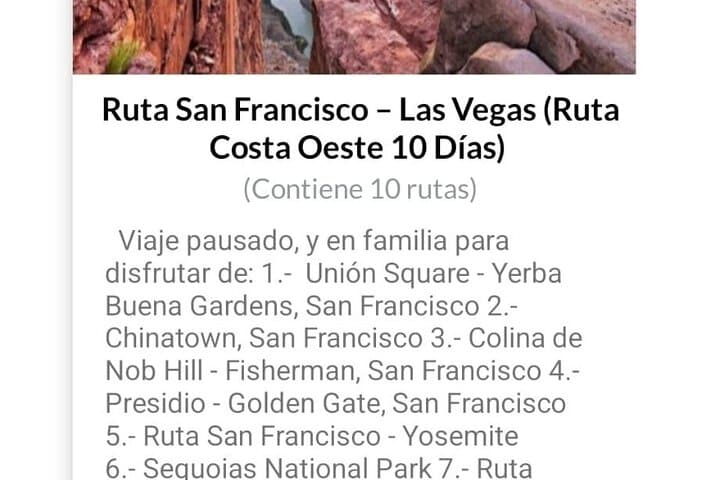

You lift your phone at LAX, hit play and the coast opens: the Pacific pushing claims against cliffs, the city giving way to palms and long concrete ribbons. This app-driven road-and-walk experience stitches together driving corridors and on-foot routes from Los Angeles through Big Sur, Yosemite, San Francisco, the Sierra, and out to the deserts and slot canyons of Arizona — an audio navigator that talks you through viewpoints, photo spots and short hikes.
You lift your phone at LAX, hit play and the coast opens: the Pacific pushing claims against cliffs, the city giving way to palms and long concrete ribbons. This app-driven road-and-walk experience stitches together driving corridors and on-foot routes from Los Angeles through Big Sur, Yosemite, San Francisco, the Sierra, and out to the deserts and slot canyons of Arizona — an audio navigator that talks you through viewpoints, photo spots and short hikes.
Geology here is active and plain to see: the San Andreas system shapes folded coastal ranges and offshore terraces, while the Sierras show granite faces carved by Pleistocene glaciers. Cultural layers are equally visible — Spanish missions and Gold Rush towns in California, Indigenous places across the Colorado Plateau — and the app points to those stories so you know why a bend in the river or a red-rock overhang matters.
Practically, the product bundles driving routes, city walking loops, and park trails with geolocation and multi-language audio. Expect long driving days (Los Angeles to San Francisco ~380 miles), short interpretive walks at overlooks, and optional detours to Antelope Canyon, Horseshoe Bend and Monument Valley. Download offline maps, charge devices, and read park permit rules before entering slot canyons or wilderness zones. The audio cues reduce guesswork on where to park, frame a shot or begin a trail.
Use the web panel to customize timing and swap stops. For photographers and planners the app turns the West Coast’s vast distances into a navigable, annotated itinerary — you still provide the rhythm: when to pause, which trail to take, and how long to stay.