THE ADVENTURE COLLECTIVE® · Independent discovery and booking for outdoor travel

Follow waterfall-fed channels up the lower ridges of Atitlán Volcano through rainforest and high-alpine groves. This half-day hike blends geology, birding and cooling plunge pools for a practical, immersive Lake Atitlán adventure.
Follow waterfall-fed channels up the lower ridges of Atitlán Volcano through rainforest and high-alpine groves. This half-day hike blends geology, birding and cooling plunge pools for a practical, immersive Lake Atitlán adventure.
You step off a wooden dock and into damp air that smells of wet earth and moss. The lake falls away behind you and the trail climbs into the lower ridges of Atitlán Volcano, where water shows itself in every form — trickling, thundering, pooling — daring you to follow its path deeper into the tropical forest.
Verified experiences and guided adventures in the surrounding area.
Operated by Los Elementos Adventure Center & Day Spa · Santiago Atitlán, Sololá
You step off a wooden dock and into damp air that smells of wet earth and moss. The lake falls away behind you and the trail climbs into the lower ridges of Atitlán Volcano, where water shows itself in every form — trickling, thundering, pooling — daring you to follow its path deeper into the tropical forest.
This route threads through lowland tropical rainforest and higher-elevation alpine forest along the volcano’s flanks. Geologically, the basin around Lake Atitlán is a collapsed caldera; the volcano’s slopes funnel rainwater into steep channels that carve waterfalls and plunge pools. Culturally the shore towns — many with strong Tz’utujil and Kaqchikel presence — have long relied on these mountain springs for irrigation and ritual, and the paths pass small cultivated terraces and finca clearings where local families harvest coffee and maize.
Expect 3–6 miles (5–10 km) round-trip with roughly 300–500 ft (90–150 m) of cumulative ascent depending on the route. Terrain alternates packed dirt, muddy steps, and roots; narrow ridgelines open to vista points of the lake and neighboring volcanoes. Birdsong is constant; keep an eye for motmots, hummingbirds and the flash of tanagers.
Practical guidance: start early to avoid midday heat and muddy sections, wear sturdy waterproof shoes, bring 1–1.5 liters of water, and a swimsuit if you plan to cool off in a waterfall pool. Guides are common and useful for navigating unmarked sections and supporting local economies. The full outing is typically a half-day (about four hours) and is best with moderate fitness and a light daypack.
The guided outing is typically about four hours round-trip; distance varies by route but usually falls between 5–10 km with modest elevation gain.
Yes — many groups finish at a safe plunge pool; wear swimwear and follow your guide’s safety guidance about currents and depth.
Guides aren’t mandatory but are recommended for navigation, local insight, and supporting the community; they also point out birds and plants you might miss.
People with moderate fitness can usually manage, but the trail has uneven, sometimes steep sections; it’s not recommended for those with serious mobility issues or recent spinal/heart conditions.
Los Elementos Adventure Center & Day Spa operates guided outdoor trips and adventures with an emphasis on safety, stewardship, and memorable experiences.
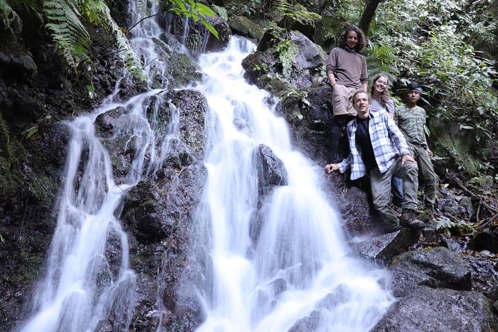
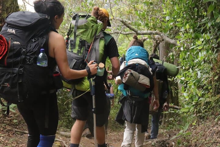
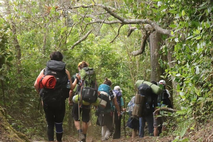
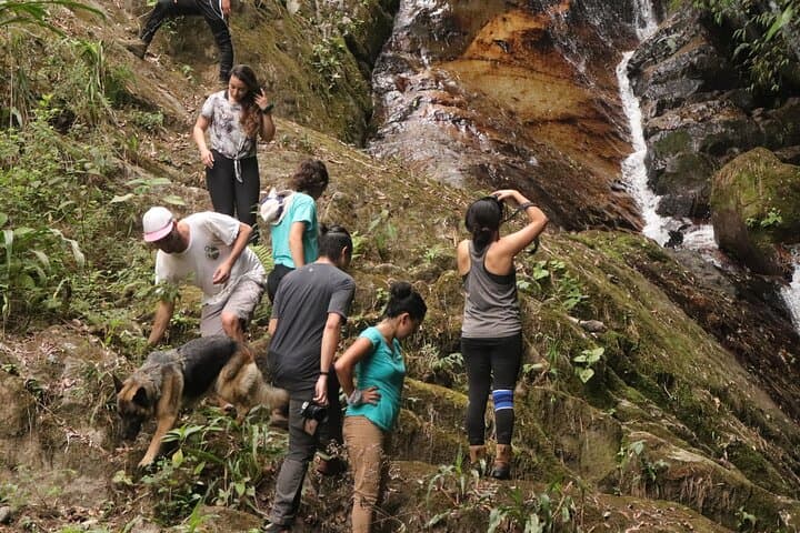
You step off a wooden dock and into damp air that smells of wet earth and moss. The lake falls away behind you and the trail climbs into the lower ridges of Atitlán Volcano, where water shows itself in every form — trickling, thundering, pooling — daring you to follow its path deeper into the tropical forest.
You step off a wooden dock and into damp air that smells of wet earth and moss. The lake falls away behind you and the trail climbs into the lower ridges of Atitlán Volcano, where water shows itself in every form — trickling, thundering, pooling — daring you to follow its path deeper into the tropical forest.
This route threads through lowland tropical rainforest and higher-elevation alpine forest along the volcano’s flanks. Geologically, the basin around Lake Atitlán is a collapsed caldera; the volcano’s slopes funnel rainwater into steep channels that carve waterfalls and plunge pools. Culturally the shore towns — many with strong Tz’utujil and Kaqchikel presence — have long relied on these mountain springs for irrigation and ritual, and the paths pass small cultivated terraces and finca clearings where local families harvest coffee and maize.
Expect 3–6 miles (5–10 km) round-trip with roughly 300–500 ft (90–150 m) of cumulative ascent depending on the route. Terrain alternates packed dirt, muddy steps, and roots; narrow ridgelines open to vista points of the lake and neighboring volcanoes. Birdsong is constant; keep an eye for motmots, hummingbirds and the flash of tanagers.
Practical guidance: start early to avoid midday heat and muddy sections, wear sturdy waterproof shoes, bring 1–1.5 liters of water, and a swimsuit if you plan to cool off in a waterfall pool. Guides are common and useful for navigating unmarked sections and supporting local economies. The full outing is typically a half-day (about four hours) and is best with moderate fitness and a light daypack.