THE ADVENTURE COLLECTIVE® · Independent discovery and booking for outdoor travel

Drive a curated 222-mile route along Wales' west coast, linking Llŷn Peninsula, Cardigan Bay, Aberystwyth and North Pembrokeshire. This self-guided plan includes sample itineraries, mapped pins, and practical notes so you can build a 3–14 day coastal holiday without second-guessing the route.
Drive a curated 222-mile route along Wales' west coast, linking Llŷn Peninsula, Cardigan Bay, Aberystwyth and North Pembrokeshire. This self-guided plan includes sample itineraries, mapped pins, and practical notes so you can build a 3–14 day coastal holiday without second-guessing the route.
You drive onto a coastal road where slate cliffs drop to wind-scoured beaches and the sea keeps time in long, steady breaths. Early morning mist lifts off the Irish Sea as fishing villages open shutters; sheep graze on cliff-tops and the road bends toward a ruined castle on a headland that has watched tides and empires for centuries.
Verified experiences and guided adventures in the surrounding area.
Operated by Uncover Britain Road Trips · Aberystwyth, Wales
You drive onto a coastal road where slate cliffs drop to wind-scoured beaches and the sea keeps time in long, steady breaths. Early morning mist lifts off the Irish Sea as fishing villages open shutters; sheep graze on cliff-tops and the road bends toward a ruined castle on a headland that has watched tides and empires for centuries.
This online guide maps a 222-mile point-to-point journey across Llŷn Peninsula, Cardigan Bay, Aberystwyth and North Pembrokeshire. Geology here is blunt and readable: glacially scoured bays, Ordovician and Cambrian slates, and limestone stacks in Pembrokeshire. History is visible—Harlech and other medieval castles built during Edward I's campaigns, and Roman roads inland—while Welsh language and coastal fishing culture remain living elements of daily life.
Expect short coastal walks, Victorian promenades, cliff-top viewpoints and ferry connections between some ports. Cardigan Bay is one of the UK’s best places to spot bottlenose dolphins from shore or boat; the Pembrokeshire Coast Path offers defined sections from gentle to steep. The guide provides sample itineraries for 3–14 days, parking notes, and pre-pinned Google Maps so you can drive, stop, and stretch without planning every detail.
Practical edge: plan around weather—wind can change rapidly—leave flexibility for ferry timetables and reserve popular St Davids or Portmeirion stays in high season. Use sturdy footwear for coves and bring a waterproof layer. With a bit of preparation this coast rewards with wide horizons, compact villages, and the kind of coastline that keeps you turning the wheel for one more bay.
easy.
3–14 days.
Suitable for most fitness levels; driving between stops with optional short to moderate walks along cliffs and beaches
Allow at least 3 days to cover highlights with short walks; 7–14 days gives time to explore beaches, heritage sites and longer coastal hikes.
The plan is accessed via website (not an app); pre-download directions or screenshots for sections where cell coverage is patchy.
The guide itself is not customisable, but it provides flexible sections and Google Map pins so you can tailor days and stops easily.
Ferries are optional but useful for shortening drives or accessing islands; the guide notes local ferry links and schedules where relevant.
The coast bears layers of history from prehistoric cairns to Norman and medieval castles, shaped by maritime trade and military routes.
Parts of the coastline sit within protected areas and marine conservation zones; follow local guidelines, keep dogs under control near nesting sites, and avoid removing shells or stones.
Uncover Britain Road Trips operates guided outdoor trips and adventures with an emphasis on safety, stewardship, and memorable experiences.
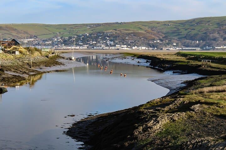
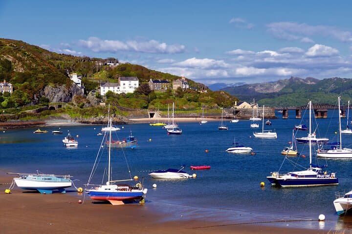
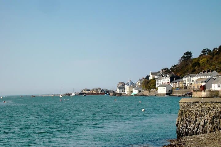
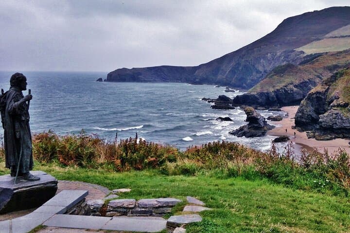
You drive onto a coastal road where slate cliffs drop to wind-scoured beaches and the sea keeps time in long, steady breaths. Early morning mist lifts off the Irish Sea as fishing villages open shutters; sheep graze on cliff-tops and the road bends toward a ruined castle on a headland that has watched tides and empires for centuries.
You drive onto a coastal road where slate cliffs drop to wind-scoured beaches and the sea keeps time in long, steady breaths. Early morning mist lifts off the Irish Sea as fishing villages open shutters; sheep graze on cliff-tops and the road bends toward a ruined castle on a headland that has watched tides and empires for centuries.
This online guide maps a 222-mile point-to-point journey across Llŷn Peninsula, Cardigan Bay, Aberystwyth and North Pembrokeshire. Geology here is blunt and readable: glacially scoured bays, Ordovician and Cambrian slates, and limestone stacks in Pembrokeshire. History is visible—Harlech and other medieval castles built during Edward I's campaigns, and Roman roads inland—while Welsh language and coastal fishing culture remain living elements of daily life.
Expect short coastal walks, Victorian promenades, cliff-top viewpoints and ferry connections between some ports. Cardigan Bay is one of the UK’s best places to spot bottlenose dolphins from shore or boat; the Pembrokeshire Coast Path offers defined sections from gentle to steep. The guide provides sample itineraries for 3–14 days, parking notes, and pre-pinned Google Maps so you can drive, stop, and stretch without planning every detail.
Practical edge: plan around weather—wind can change rapidly—leave flexibility for ferry timetables and reserve popular St Davids or Portmeirion stays in high season. Use sturdy footwear for coves and bring a waterproof layer. With a bit of preparation this coast rewards with wide horizons, compact villages, and the kind of coastline that keeps you turning the wheel for one more bay.