THE ADVENTURE COLLECTIVE® · Independent discovery and booking for outdoor travel

Ride the Vrmac ridge above Kotor Bay: a 4 km road climb to Fort Vrmac, a gravel traverse to St. Ilija (760 m) and a rewarding 6–20 km descent with full-bay panoramas. Expect loose gravel, switchbacks and panoramic photo stops.
Ride the Vrmac ridge above Kotor Bay: a 4 km road climb to Fort Vrmac, a gravel traverse to St. Ilija (760 m) and a rewarding 6–20 km descent with full-bay panoramas. Expect loose gravel, switchbacks and panoramic photo stops.
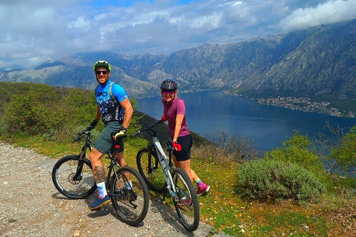
You start on a narrow pass at Trojica where road noise fades and the Adriatic sun hits limestone cliffs. A steady 4 km climb on tarmac leads to Fort Vrmac at roughly 480 m, where a short stop lets you scan Kotor Bay’s fjord-like inlets and the scattering of red-roofed towns below.
Verified experiences and guided adventures in the surrounding area.
Operated by Attraction Montenegro Tour · Kotor, Kotor Municipality
You start on a narrow pass at Trojica where road noise fades and the Adriatic sun hits limestone cliffs. A steady 4 km climb on tarmac leads to Fort Vrmac at roughly 480 m, where a short stop lets you scan Kotor Bay’s fjord-like inlets and the scattering of red-roofed towns below.
The ridge’s geology is karst limestone—sharp ridgelines, gravel shoulders and quick-draining soils—shaped by tectonic uplift and marine terraces. Fort Vrmac is part of the peninsula’s military past; Austro-Hungarian and Ottoman watchposts used these heights to control the bay. Local culture is olive oil, slow coastal meals, and a stubborn love of simple things: espresso, narrow lanes and maritime work.
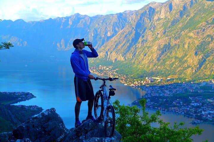
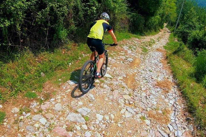
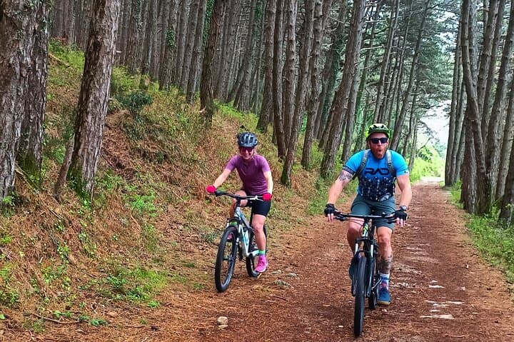
From the fort the route threads off-road across sweeping viewpoints to St. Ilija (about 760 m), the single spot that reveals the full corkscrew of Kotor Bay. The descent is mostly gravel trails and hiking paths—expect loose sections, switchbacks and short technical pitches. Riders can choose a loop back to Trojica (shorter, more climbing) or a full descent to Tivat (longer, faster, more exposed).
Practical: be fit enough for sustained climbs, use a bike with reliable brakes and wider gravel tires, and carry 1.5–2 L water. Start early to avoid midday heat and to catch the best light for photos. Guides usually supply bikes, helmets, snacks and local knowledge; weather can change quickly on the ridge, so pack layers. This ride balances panoramic reward with moderate technical challenge—ideal for experienced gravel riders seeking a compact, scenic mountain-bike day in Montenegro.
moderate.
4–5 hours.
Good cardiovascular fitness and sustained climbing ability; comfortable with 4 km tarmac climb and 6–30 km mixed off-road mileage.
You should have a moderate fitness level—able to sustain a 4 km climb on road and handle 6–30 km of mixed off-road riding; guides recommend prior mountain-biking experience.
Not ideal for first-time riders; the route includes loose gravel, steep descents and technical trail sections best suited to riders with prior off-road experience.
Typical options are a loop returning to Trojica (shorter, includes extra climbing) or a continuous descent to Tivat (longer, faster, more exposed). Choose based on fitness and shuttle availability.
Most operators provide helmets, bikes, and basic tools; check in advance for bike size, suspension type and any needed protective gear.
The Vrmac ridge was fortified in the Austro-Hungarian period to control Kotor Bay; scattered military ruins mark strategic vantage points.
Trails are vulnerable to erosion on steep gravel; stick to established paths, avoid widening lines, and pack out all trash to protect the karst environment.
Attraction Montenegro Tour operates guided outdoor trips and adventures with an emphasis on safety, stewardship, and memorable experiences.
You start on a narrow pass at Trojica where road noise fades and the Adriatic sun hits limestone cliffs. A steady 4 km climb on tarmac leads to Fort Vrmac at roughly 480 m, where a short stop lets you scan Kotor Bay’s fjord-like inlets and the scattering of red-roofed towns below.
You start on a narrow pass at Trojica where road noise fades and the Adriatic sun hits limestone cliffs. A steady 4 km climb on tarmac leads to Fort Vrmac at roughly 480 m, where a short stop lets you scan Kotor Bay’s fjord-like inlets and the scattering of red-roofed towns below.
The ridge’s geology is karst limestone—sharp ridgelines, gravel shoulders and quick-draining soils—shaped by tectonic uplift and marine terraces. Fort Vrmac is part of the peninsula’s military past; Austro-Hungarian and Ottoman watchposts used these heights to control the bay. Local culture is olive oil, slow coastal meals, and a stubborn love of simple things: espresso, narrow lanes and maritime work.
From the fort the route threads off-road across sweeping viewpoints to St. Ilija (about 760 m), the single spot that reveals the full corkscrew of Kotor Bay. The descent is mostly gravel trails and hiking paths—expect loose sections, switchbacks and short technical pitches. Riders can choose a loop back to Trojica (shorter, more climbing) or a full descent to Tivat (longer, faster, more exposed).
Practical: be fit enough for sustained climbs, use a bike with reliable brakes and wider gravel tires, and carry 1.5–2 L water. Start early to avoid midday heat and to catch the best light for photos. Guides usually supply bikes, helmets, snacks and local knowledge; weather can change quickly on the ridge, so pack layers. This ride balances panoramic reward with moderate technical challenge—ideal for experienced gravel riders seeking a compact, scenic mountain-bike day in Montenegro.