THE ADVENTURE COLLECTIVE® · Independent discovery and booking for outdoor travel

Walk across fresh lava fields and watch steam rise from fissures on a guided hike to Fagradalsfjall, then explore the resilient coastal town of Grindavík. This half-day tour from Reykjavík blends geology, geothermal sights and local seafood.
Walk across fresh lava fields and watch steam rise from fissures on a guided hike to Fagradalsfjall, then explore the resilient coastal town of Grindavík. This half-day tour from Reykjavík blends geology, geothermal sights and local seafood.
A chill wind from the North Atlantic cuts across the black fields as your transport drops you at the trailhead on the Reykjanes Peninsula. Under a wide Arctic sky you set off across fractured lava and pumice, the ground crunching beneath boots while steam curls from distant fumaroles—this is a landscape still settling after recent eruptions.
Verified experiences and guided adventures in the surrounding area.
Operated by Reykjavik Excursions · Grindavík, Southern Peninsula
A chill wind from the North Atlantic cuts across the black fields as your transport drops you at the trailhead on the Reykjanes Peninsula. Under a wide Arctic sky you set off across fractured lava and pumice, the ground crunching beneath boots while steam curls from distant fumaroles—this is a landscape still settling after recent eruptions.
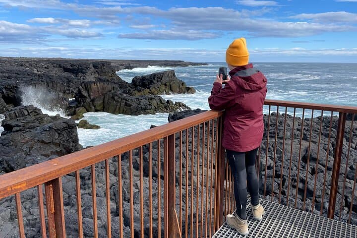
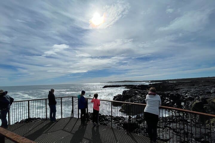
Geologically recent and raw, Fagradalsfjall and its lava flows are part of a rift zone where the Eurasian and North American plates pull apart. The Seltún geothermal area nearby offers bubbling mud pools and colorful mineral deposits, evidence of the heat below. Grindavík, once a busy fishing village, wears its history in concrete barriers and patched harbor walls—practical responses to eruptions and storms rather than romantic relics.
Expect 30–60 minutes of hiking to the main viewing point over uneven, often sharp lava with minimal shade. The terrain is primarily compacted volcanic rock and scree; elevation gains are modest but footing can be technical after rain. Guides typically time visits to show cooling lava fields, steam vents and tectonic rifts before a coastal stop in Grindavík for fresh fish and chips.
Practical tips: dress windproof and in layers, use stiff-soled boots, bring water and a windproof shell, and respect marked paths and local safety briefings. Check volcanic activity alerts before you go—access can close or change with new eruptions. When you return to Reykjavík, the contrast from city to volcanic frontier underscores why Iceland’s geology is best experienced on foot and with a local guide.
moderate.
6–7 hours.
You should have a moderate level of fitness—able to walk 30–60 minutes over uneven terrain and manage short elevation changes.
The main hike to the viewing area is typically 30–60 minutes one-way depending on route and pace, over uneven volcanic terrain.
Older children with good stamina and sturdy footwear can usually join, but check operator age restrictions and consider the uneven, potentially hazardous ground.
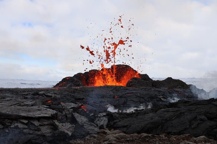
Recent eruptions have produced visible lava fields; active flows depend on current volcanic activity and access—operators will update if viewing is possible or restricted.
Local eateries can usually accommodate common dietary needs; notify the tour operator ahead of time so they can advise or arrange alternatives.
Grindavík grew as a fishing community shaped by harsh weather and volcanic events; protective walls and rebuilt harbor infrastructure reflect repeated adaptations to nature.
The Reykjanes landscape is fragile—stick to marked paths to avoid damaging lichens and geothermal features; local guides enforce Leave No Trace practices and closures when needed.
Reykjavik Excursions operates guided outdoor trips and adventures with an emphasis on safety, stewardship, and memorable experiences.
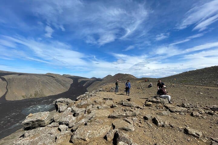
A chill wind from the North Atlantic cuts across the black fields as your transport drops you at the trailhead on the Reykjanes Peninsula. Under a wide Arctic sky you set off across fractured lava and pumice, the ground crunching beneath boots while steam curls from distant fumaroles—this is a landscape still settling after recent eruptions.
A chill wind from the North Atlantic cuts across the black fields as your transport drops you at the trailhead on the Reykjanes Peninsula. Under a wide Arctic sky you set off across fractured lava and pumice, the ground crunching beneath boots while steam curls from distant fumaroles—this is a landscape still settling after recent eruptions.
Geologically recent and raw, Fagradalsfjall and its lava flows are part of a rift zone where the Eurasian and North American plates pull apart. The Seltún geothermal area nearby offers bubbling mud pools and colorful mineral deposits, evidence of the heat below. Grindavík, once a busy fishing village, wears its history in concrete barriers and patched harbor walls—practical responses to eruptions and storms rather than romantic relics.
Expect 30–60 minutes of hiking to the main viewing point over uneven, often sharp lava with minimal shade. The terrain is primarily compacted volcanic rock and scree; elevation gains are modest but footing can be technical after rain. Guides typically time visits to show cooling lava fields, steam vents and tectonic rifts before a coastal stop in Grindavík for fresh fish and chips.
Practical tips: dress windproof and in layers, use stiff-soled boots, bring water and a windproof shell, and respect marked paths and local safety briefings. Check volcanic activity alerts before you go—access can close or change with new eruptions. When you return to Reykjavík, the contrast from city to volcanic frontier underscores why Iceland’s geology is best experienced on foot and with a local guide.