THE ADVENTURE COLLECTIVE® · Independent discovery and booking for outdoor travel

Use your phone as a certified guide to explore Gran Canaria’s volcanic center at your own pace. Visit Bandama, Cruz de Tejeda, hike to Roque Nublo and finish at Pico de las Nieves with interpretive audio, videos and GPS navigation.
Use your phone as a certified guide to explore Gran Canaria’s volcanic center at your own pace. Visit Bandama, Cruz de Tejeda, hike to Roque Nublo and finish at Pico de las Nieves with interpretive audio, videos and GPS navigation.
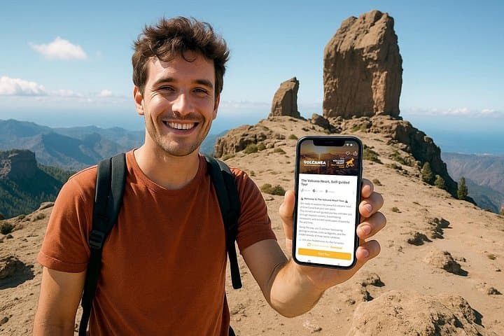
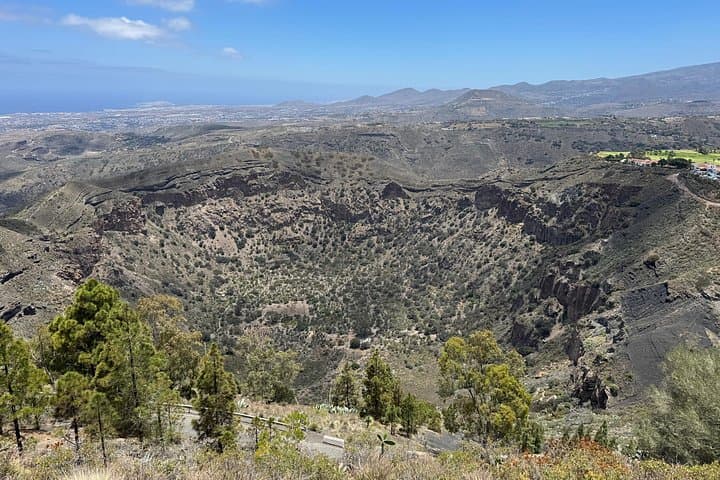
You start on a high ridge where wind scrapes the maps from your hands and the island opens in angles: basalt cliffs, a crater rim dropping into green shadow, and a lone needle of rock—Roque Nublo—standing like a punctuation mark on the skyline. The Volcanea app guides you along that spine, turning your phone into a local narrator as you move between Caldera de Bandama, Pico de Bandama, Cruz de Tejeda, Roque Nublo and Pico de las Nieves.
Verified experiences and guided adventures in the surrounding area.
Operated by Climbo ツ · Tejeda, Las Palmas
You start on a high ridge where wind scrapes the maps from your hands and the island opens in angles: basalt cliffs, a crater rim dropping into green shadow, and a lone needle of rock—Roque Nublo—standing like a punctuation mark on the skyline. The Volcanea app guides you along that spine, turning your phone into a local narrator as you move between Caldera de Bandama, Pico de Bandama, Cruz de Tejeda, Roque Nublo and Pico de las Nieves.
Geology here is recent and raw: explosive eruptions carved calderas and stacked lava flows less than 5,000 years ago, then erosion sculpted the deep basins you’ll see from Cruz de Tejeda. Culturally, these high paths were historic links between mountain villages; Tejeda still trades almond sweets and goat cheeses that speak to island life. The landscape demands attention—rocky trails, sudden ridgelines, and weather that can drop from sun to cloud in minutes—so the app supplements views with short videos, audio stories and GPS navigation.
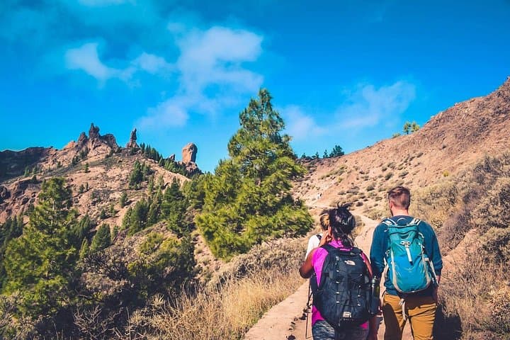
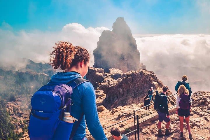
Practically, expect a mix of driving and on-foot exploration. The hike to Roque Nublo is ~3.5 km round-trip with ≈200 m elevation gain on rocky, uneven ground; allow 1.5–2.5 hours for that section. Bring at least 1.5 L water, sturdy closed shoes, layered clothing, sun protection and a charged phone with the mobile ticket ready. Start early or late to avoid midday heat and aim for clear forecasts—the high peaks can be windy and cool. The self-guided format gives flexibility, but respect fragile soils and stick to marked paths—these volcanic slopes recover slowly.
moderate.
6–10 hours.
Reasonable fitness for multiple short hikes and up to 200 m elevation gain; able to walk on uneven, rocky trails.
Yes—this itinerary assumes independent travel by rental car or private transport to move between dispersed mountain stops.
The tour is browser-based with GPS; content is immediate but mobile reception varies—download or cache media if you expect limited signal and keep a charged device.
About 3.5 km round-trip with ~200 m ascent on rocky paths; rated moderately challenging for those comfortable with uneven terrain.
Public restrooms and snack options exist at Pico de Bandama and Cruz de Tejeda; there are no facilities on the Roque Nublo trail itself.
Caldera de Bandama formed from volcanic eruptions several thousand years ago; Roque Nublo was venerated by pre-Hispanic Canarii as a sacred landmark.
This volcanic highland has fragile soils and endemic plants—stay on marked trails, pack out waste, and favor local businesses to support conservation.
Climbo ツ operates guided outdoor trips and adventures with an emphasis on safety, stewardship, and memorable experiences.
You start on a high ridge where wind scrapes the maps from your hands and the island opens in angles: basalt cliffs, a crater rim dropping into green shadow, and a lone needle of rock—Roque Nublo—standing like a punctuation mark on the skyline. The Volcanea app guides you along that spine, turning your phone into a local narrator as you move between Caldera de Bandama, Pico de Bandama, Cruz de Tejeda, Roque Nublo and Pico de las Nieves.
You start on a high ridge where wind scrapes the maps from your hands and the island opens in angles: basalt cliffs, a crater rim dropping into green shadow, and a lone needle of rock—Roque Nublo—standing like a punctuation mark on the skyline. The Volcanea app guides you along that spine, turning your phone into a local narrator as you move between Caldera de Bandama, Pico de Bandama, Cruz de Tejeda, Roque Nublo and Pico de las Nieves.
Geology here is recent and raw: explosive eruptions carved calderas and stacked lava flows less than 5,000 years ago, then erosion sculpted the deep basins you’ll see from Cruz de Tejeda. Culturally, these high paths were historic links between mountain villages; Tejeda still trades almond sweets and goat cheeses that speak to island life. The landscape demands attention—rocky trails, sudden ridgelines, and weather that can drop from sun to cloud in minutes—so the app supplements views with short videos, audio stories and GPS navigation.
Practically, expect a mix of driving and on-foot exploration. The hike to Roque Nublo is ~3.5 km round-trip with ≈200 m elevation gain on rocky, uneven ground; allow 1.5–2.5 hours for that section. Bring at least 1.5 L water, sturdy closed shoes, layered clothing, sun protection and a charged phone with the mobile ticket ready. Start early or late to avoid midday heat and aim for clear forecasts—the high peaks can be windy and cool. The self-guided format gives flexibility, but respect fragile soils and stick to marked paths—these volcanic slopes recover slowly.