THE ADVENTURE COLLECTIVE® · Independent discovery and booking for outdoor travel

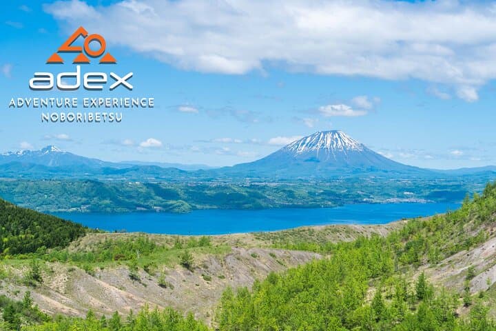
Climb Mount Usu from Noboribetsu with a private guide to stand above steaming fumaroles and take in views of Lake Toya and Mt. Yotei. This 5‑hour volcanic hike blends forest trails, loose scree and firsthand geology with practical guidance for moderately fit hikers.
Climb Mount Usu from Noboribetsu with a private guide to stand above steaming fumaroles and take in views of Lake Toya and Mt. Yotei. This 5‑hour volcanic hike blends forest trails, loose scree and firsthand geology with practical guidance for moderately fit hikers.
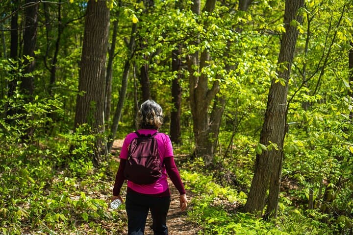
A crisp wind carries the sulfurous breath of Usuzan as you step from the forest into the open scars of recent eruptions. Early sunlight picks out steam rising from fumaroles like small ghosts along the crater rim, while the Pacific glints beyond and Lake Toya opens to the north. The trail shifts between mossy trunks and volcanic scree; every turn brings a different angle on the crater’s raw geometry.
Verified experiences and guided adventures in the surrounding area.
Operated by adex - adventure experience · Noboribetsu, Hokkaido
A crisp wind carries the sulfurous breath of Usuzan as you step from the forest into the open scars of recent eruptions. Early sunlight picks out steam rising from fumaroles like small ghosts along the crater rim, while the Pacific glints beyond and Lake Toya opens to the north. The trail shifts between mossy trunks and volcanic scree; every turn brings a different angle on the crater’s raw geometry.
Geologically recent and active—most notably in 1977–78 and again in 2000—Usuzan’s landscape is young and changing. The eruption cycles built visible terraces and new craters; walking here is a close reading of fresh geology. Culturally, the area is part of southern Hokkaido’s volcanic network long observed by local communities and scientists, and guides on the route will point out how eruptions reshaped roads, fields, and onsen towns nearby.
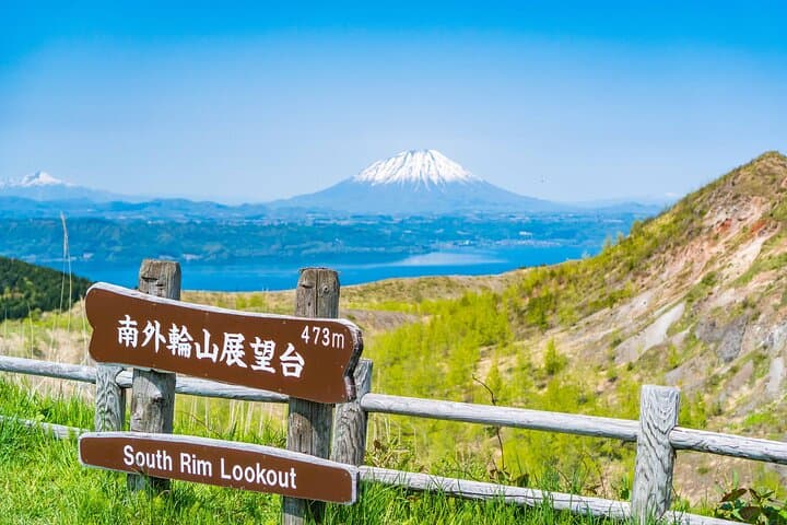
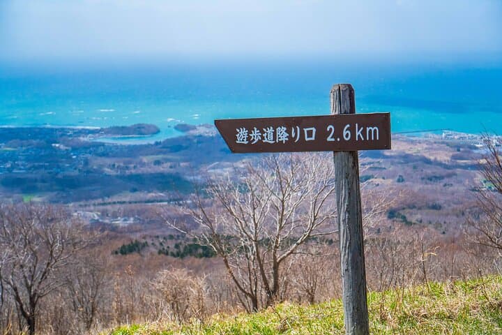
Expect about 500 meters of ascent to an observatory that frames Mt. Yotei, Lake Toya and the sea. The route is mixed: compacted earth, roots, and loose volcanic rock—steady footwear and poles help. Keep distance from fumaroles; gases can be strong and ground can be unstable near vents.
Practical tips: start mid-morning for stable weather, carry 2 liters of water, layers for sudden wind, and a mask if you’re sensitive to sulfur. The guided, private format includes transport from Noboribetsu and on-trail interpretation, making this a manageable introduction to Hokkaido’s volcanic wilderness for moderately fit hikers.
moderate.
5 hours.
Suitable for hikers with regular aerobic activity who can handle sustained uphill sections and uneven terrain.
Moderate fitness is required: expect a steady climb totaling roughly 500 meters of elevation with mixed terrain over about 3 hours of hiking time.
Fumaroles emit sulfurous gases that can irritate eyes and lungs; stay on trail, follow your guide, and avoid low-lying vents.
Yes — this is a private guided tour that includes interpretation, safety briefings, and transport from the meeting base in Noboribetsu.
Late spring through early autumn offers the most reliable access and mild weather; fall gives the clearest views, while winter typically restricts access.
Usuzan’s recent eruptions (notably in the late 1970s and 2000) dramatically altered local topography and led to scientific monitoring and improved community evacuation planning.
The volcanic landscape regenerates slowly; stick to trails, pack out all waste, and avoid collecting rocks or disturbing fumaroles to protect fragile habitats.
adex - adventure experience operates guided outdoor trips and adventures with an emphasis on safety, stewardship, and memorable experiences.
A crisp wind carries the sulfurous breath of Usuzan as you step from the forest into the open scars of recent eruptions. Early sunlight picks out steam rising from fumaroles like small ghosts along the crater rim, while the Pacific glints beyond and Lake Toya opens to the north. The trail shifts between mossy trunks and volcanic scree; every turn brings a different angle on the crater’s raw geometry.
A crisp wind carries the sulfurous breath of Usuzan as you step from the forest into the open scars of recent eruptions. Early sunlight picks out steam rising from fumaroles like small ghosts along the crater rim, while the Pacific glints beyond and Lake Toya opens to the north. The trail shifts between mossy trunks and volcanic scree; every turn brings a different angle on the crater’s raw geometry.
Geologically recent and active—most notably in 1977–78 and again in 2000—Usuzan’s landscape is young and changing. The eruption cycles built visible terraces and new craters; walking here is a close reading of fresh geology. Culturally, the area is part of southern Hokkaido’s volcanic network long observed by local communities and scientists, and guides on the route will point out how eruptions reshaped roads, fields, and onsen towns nearby.
Expect about 500 meters of ascent to an observatory that frames Mt. Yotei, Lake Toya and the sea. The route is mixed: compacted earth, roots, and loose volcanic rock—steady footwear and poles help. Keep distance from fumaroles; gases can be strong and ground can be unstable near vents.
Practical tips: start mid-morning for stable weather, carry 2 liters of water, layers for sudden wind, and a mask if you’re sensitive to sulfur. The guided, private format includes transport from Noboribetsu and on-trail interpretation, making this a manageable introduction to Hokkaido’s volcanic wilderness for moderately fit hikers.