THE ADVENTURE COLLECTIVE® · Independent discovery and booking for outdoor travel

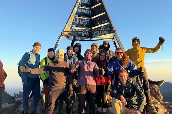
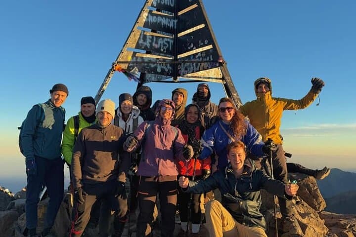
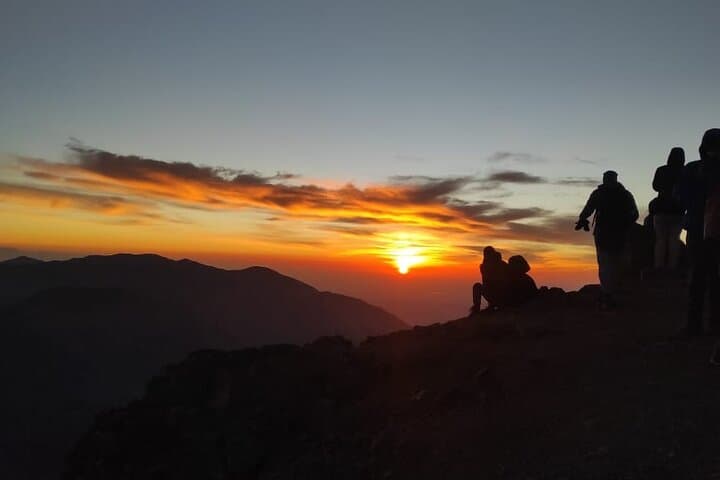
A compact two-day trek that takes you from Marrakech into the High Atlas to summit Jbel Toubkal (4,167 m). Expect steep mule paths, an overnight mountain refuge, and a long but rewarding summit day with wide mountain and desert views.
A compact two-day trek that takes you from Marrakech into the High Atlas to summit Jbel Toubkal (4,167 m). Expect steep mule paths, an overnight mountain refuge, and a long but rewarding summit day with wide mountain and desert views.
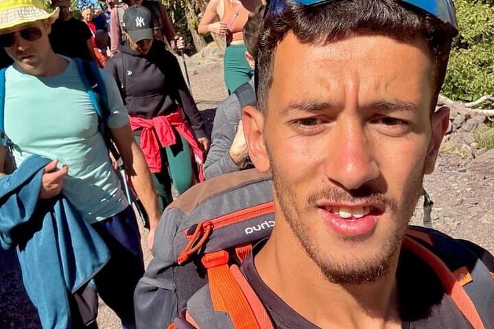
You set out before dawn from Marrakech, the van sliding through the palm-lined outskirts until the High Atlas mountains rise like a weathered wall. In Imlil the air sharpens; stone houses and mule tracks lead into the Aït Mizane valley as shepherds and terraced fields give way to steep switchbacks.
Verified experiences and guided adventures in the surrounding area.
Operated by morocco views · Imlil, Marrakech-Safi
You set out before dawn from Marrakech, the van sliding through the palm-lined outskirts until the High Atlas mountains rise like a weathered wall. In Imlil the air sharpens; stone houses and mule tracks lead into the Aït Mizane valley as shepherds and terraced fields give way to steep switchbacks.
Toubkal (Jbel Toubkal) is North Africa’s highest peak at 4,167 m. The massif is volcanic in origin with rugged rhyolite and schist outcrops; glaciers are absent, but winter snowfields and loose scree shape the upper slopes. The route threads Berber villages—Aremd and the small sanctuary at Sidi Chamarouch—places where local customs and mule logistics are still central to mountain life. Refuge culture on the upper slopes offers simple communal meals, mapped routes and the chance to sleep near 3,200 m before a long summit push.
Expect steep stone-paved village tracks, packed dirt mule trails, and loose scree above the refuge. Day 1 climbs roughly 1,450 m from Imlil (1,740 m) to the refuge (≈3,207 m) over 5–6 hours; day 2 adds about 960 m up to the summit and a long 10–12 hour day of ascent and descent. Weather can shift fast—sun and wind by midday, freezing temperatures overnight.
Practical guidance: train for sustained climbs and long descents, layer for cold at altitude, use trekking poles for scree sections, and drink frequently to manage altitude. Start very early on summit day, respect mountain rescue limits, and leave no trace—follow mule tracks and refuge guidance for a safer, more responsible ascent.
challenging.
2 days (day 1: 5–6 hours walking; day 2: 10–12 hours walking).
Requires good cardiovascular fitness and experience with long uphill days; able to handle prolonged descents and variable footing.
You should be comfortable with sustained uphill hiking (10+ hours in a day) and have experience with long descents; regular aerobic training and multi-hour hikes beforehand make success much more likely.
Yes — most operators provide mule transport for luggage, allowing you to carry a daypack with essentials only; confirm luggage weight limits with your operator.
The main risks are headache, nausea and fatigue starting above ~3,000 m; ascend conservatively, stay hydrated, and descend if symptoms worsen—seek medical assistance if breathing or consciousness is affected.
Late spring to early autumn (May–October) provides the most stable conditions; winter offers snow and requires alpine experience and gear.
The High Atlas has long been home to Amazigh (Berber) communities whose terrace farming and trans-mountain trade shaped local routes and mountain hospitality.
Stick to established trails and use mule transport sparingly; the alpine flora is fragile and refuge waste management is limited, so pack out what you bring when possible.
morocco views operates guided outdoor trips and adventures with an emphasis on safety, stewardship, and memorable experiences.
You set out before dawn from Marrakech, the van sliding through the palm-lined outskirts until the High Atlas mountains rise like a weathered wall. In Imlil the air sharpens; stone houses and mule tracks lead into the Aït Mizane valley as shepherds and terraced fields give way to steep switchbacks.
You set out before dawn from Marrakech, the van sliding through the palm-lined outskirts until the High Atlas mountains rise like a weathered wall. In Imlil the air sharpens; stone houses and mule tracks lead into the Aït Mizane valley as shepherds and terraced fields give way to steep switchbacks.
Toubkal (Jbel Toubkal) is North Africa’s highest peak at 4,167 m. The massif is volcanic in origin with rugged rhyolite and schist outcrops; glaciers are absent, but winter snowfields and loose scree shape the upper slopes. The route threads Berber villages—Aremd and the small sanctuary at Sidi Chamarouch—places where local customs and mule logistics are still central to mountain life. Refuge culture on the upper slopes offers simple communal meals, mapped routes and the chance to sleep near 3,200 m before a long summit push.
Expect steep stone-paved village tracks, packed dirt mule trails, and loose scree above the refuge. Day 1 climbs roughly 1,450 m from Imlil (1,740 m) to the refuge (≈3,207 m) over 5–6 hours; day 2 adds about 960 m up to the summit and a long 10–12 hour day of ascent and descent. Weather can shift fast—sun and wind by midday, freezing temperatures overnight.
Practical guidance: train for sustained climbs and long descents, layer for cold at altitude, use trekking poles for scree sections, and drink frequently to manage altitude. Start very early on summit day, respect mountain rescue limits, and leave no trace—follow mule tracks and refuge guidance for a safer, more responsible ascent.