THE ADVENTURE COLLECTIVE® · Independent discovery and booking for outdoor travel

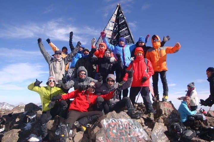
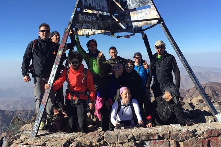
Summit North Africa’s highest peak in two days: a steep first-day climb to Toubkal Refuge and a pre-dawn summit push that rewards you with sweeping Atlas and Sahara views. Expect long walking days, rocky terrain, and cultural villages en route.
Summit North Africa’s highest peak in two days: a steep first-day climb to Toubkal Refuge and a pre-dawn summit push that rewards you with sweeping Atlas and Sahara views. Expect long walking days, rocky terrain, and cultural villages en route.
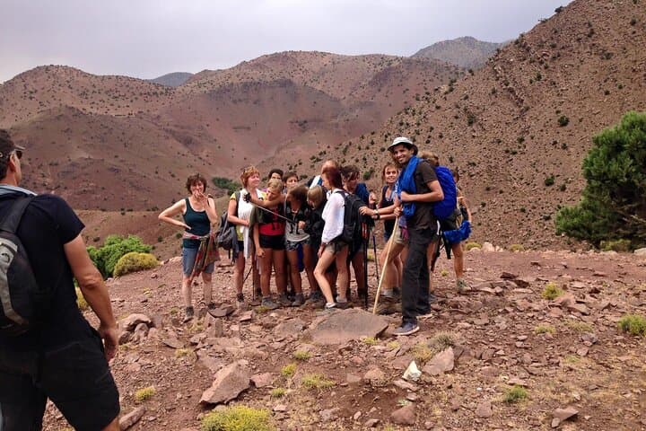
Morning light slices across the High Atlas as you step out of Imlil and onto mule tracks that climb toward a rocky skyline. The valley exhales below—river voices and village smoke—while the path tightens, crossing boulder fields and scree that demand steady footing. By evening the Toubkal Refuge sits framed against a wide sky at 3,207 m; the next day the peak waits, shards of wind daring you upward.
Verified experiences and guided adventures in the surrounding area.
Operated by Authentic Sahara Tours · Imlil, Marrakech-Safi
Morning light slices across the High Atlas as you step out of Imlil and onto mule tracks that climb toward a rocky skyline. The valley exhales below—river voices and village smoke—while the path tightens, crossing boulder fields and scree that demand steady footing. By evening the Toubkal Refuge sits framed against a wide sky at 3,207 m; the next day the peak waits, shards of wind daring you upward.
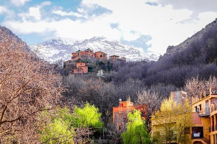
Geology here is raw: ancient plutonic rock folded and exposed by uplift, creating sharp cols and steep cirques. The villages you pass—Aremd and Imlil—are Berber Highland communities with centuries-old stone terraces and a living bergamot of rural mountain culture. Sidi Chamarouch shrine is a local pilgrimage site carved into the landscape, a cultural waypoint between lowland Marrakech and the high peaks.
Practical route notes: Day 1 is roughly 4–5 hours of ascending from Imlil with ~1,500 m elevation gain to the refuge. Day 2 typically begins pre-dawn, adding ~960 m to the summit and a long descent back; expect 9–10 hours on foot that day. Trails are a mix of well-worn mule tracks, rocky steps, and seasonal snow above the refuge. In winter, crampons and an ice axe are often necessary; in summer, sun exposure and loose scree are the main challenges.
Plan for high-altitude pacing, bring layered protection, and allow extra time for weather or group pace. Local guides, cooks, and mule support simplify logistics—leave heavy packs and focus on altitude, hydration, and steady ascent.
challenging.
2 days (4–10 hours per day).
High level of aerobic fitness and endurance; comfortable with long, sustained climbs and descents.
You should have strong aerobic fitness and experience with long day hikes; expect two long days with nearly 2,500 m total elevation change over rough terrain.
A guide is strongly recommended for navigation, acclimatization advice, and safety—many operators include guides, cook, and mule support.
Summers are dry and warm in lower valleys but cold and windy on the summit; winters bring snow and icy conditions that may require additional equipment.
Fit beginners may manage with a guided group, but prior multi-day trekking experience and good acclimatization are important.
The High Atlas was historically a trade and pastoral zone for Berber communities; many trails follow generations-old mule routes connecting villages to Marrakech.
Stick to existing trails, carry out all waste, and use local guides who support community-based tourism to limit environmental impact.
Authentic Sahara Tours operates guided outdoor trips and adventures with an emphasis on safety, stewardship, and memorable experiences.
Morning light slices across the High Atlas as you step out of Imlil and onto mule tracks that climb toward a rocky skyline. The valley exhales below—river voices and village smoke—while the path tightens, crossing boulder fields and scree that demand steady footing. By evening the Toubkal Refuge sits framed against a wide sky at 3,207 m; the next day the peak waits, shards of wind daring you upward.
Morning light slices across the High Atlas as you step out of Imlil and onto mule tracks that climb toward a rocky skyline. The valley exhales below—river voices and village smoke—while the path tightens, crossing boulder fields and scree that demand steady footing. By evening the Toubkal Refuge sits framed against a wide sky at 3,207 m; the next day the peak waits, shards of wind daring you upward.
Geology here is raw: ancient plutonic rock folded and exposed by uplift, creating sharp cols and steep cirques. The villages you pass—Aremd and Imlil—are Berber Highland communities with centuries-old stone terraces and a living bergamot of rural mountain culture. Sidi Chamarouch shrine is a local pilgrimage site carved into the landscape, a cultural waypoint between lowland Marrakech and the high peaks.
Practical route notes: Day 1 is roughly 4–5 hours of ascending from Imlil with ~1,500 m elevation gain to the refuge. Day 2 typically begins pre-dawn, adding ~960 m to the summit and a long descent back; expect 9–10 hours on foot that day. Trails are a mix of well-worn mule tracks, rocky steps, and seasonal snow above the refuge. In winter, crampons and an ice axe are often necessary; in summer, sun exposure and loose scree are the main challenges.
Plan for high-altitude pacing, bring layered protection, and allow extra time for weather or group pace. Local guides, cooks, and mule support simplify logistics—leave heavy packs and focus on altitude, hydration, and steady ascent.