THE ADVENTURE COLLECTIVE® · Independent discovery and booking for outdoor travel

Cover the Andes’ signature highlights in two days: Cotopaxi’s volcanic slopes and the vivid green crater of Quilotoa. This high‑altitude loop blends short, rugged hikes with cultural stops and an overnight hacienda stay.
Cover the Andes’ signature highlights in two days: Cotopaxi’s volcanic slopes and the vivid green crater of Quilotoa. This high‑altitude loop blends short, rugged hikes with cultural stops and an overnight hacienda stay.
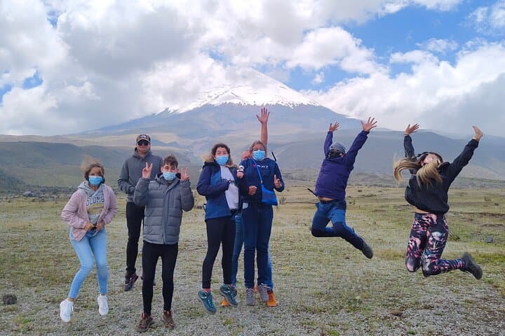
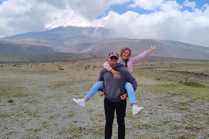
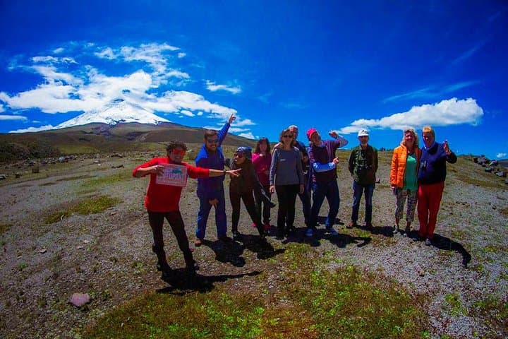
You step out of the van and air so thin it feels deliberate greets you — sharp and clean against a sky that seems too close. Cotopaxi’s cone rises above the grassland, a snow-capped column that redraws scale; nearby, Limpiopungo lagoon mirrors the volcano when wind lets it. On day one the route moves through volcanic páramo: short grasses, cushion plants and wind that shapes every exposed ridge.
Verified experiences and guided adventures in the surrounding area.
Operated by Quito Tour Bus · Quito, Pichincha
You step out of the van and air so thin it feels deliberate greets you — sharp and clean against a sky that seems too close. Cotopaxi’s cone rises above the grassland, a snow-capped column that redraws scale; nearby, Limpiopungo lagoon mirrors the volcano when wind lets it. On day one the route moves through volcanic páramo: short grasses, cushion plants and wind that shapes every exposed ridge.
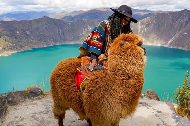
The loop combines volcanic geology and Andean culture. Cotopaxi is one of the highest active volcanoes in the world (summit 5,897 m) with glacial features and recent eruptions that shaped surrounding moraines; Quilotoa is a basaltic caldera filled by a green crater lake formed after a major eruption roughly 800 years ago. Along the way you’ll pass small highland communities, Tigua painters whose bright, narrative panels reflect local farming rhythms, and hacienda architecture that speaks to colonial agricultural history.
Expect uneven, rocky trails, altitude gain more than two thousand meters from Quito (2,850 m) to high viewpoints near the José Rivas refuge (~4,800–4,900 m), and a steep descent-plus-ascent at Quilotoa of roughly 300–500 m depending on the rim-to-lake route.
Practical guidance: pace yourself, allow time to acclimatize, carry at least 2–3 liters of water, and layer for wind and sun. Good hiking boots and poles make the crater descent and páramo scree much easier. The trip runs as a shared, guided 2‑day tour departing Quito with bilingual guides and park entrances included.
moderate.
2 days.
Good aerobic fitness recommended; able to hike 3–6 hours at high altitude and handle sustained uphill sections.
The trek to the refuge involves sustained uphill walking above 4,500 m; pace is moderate but altitude makes it feel harder — expect 2–4 hours depending on fitness and acclimatization.
Mild symptoms (headache, nausea) are common; inform the guide immediately. Rest, hydrate, and descend if symptoms worsen; severe cases require prompt evacuation to lower altitude.
This tour includes entrances to Cotopaxi and Quilotoa and touristic transport; the itinerary notes lunches and an overnight in a hacienda are provided — confirm at booking for specifics.
The operator advises not recommended for pregnant travelers and suggests moderate fitness; infants must sit on laps. Check with the provider for age limits and medical clearance.
The Cotopaxi region has long been used for highland agriculture; Quilotoa’s caldera formed from a major Holocene eruption and local communities preserve Quechua-speaking cultural traditions.
Both sites lie within sensitive highland ecosystems; stick to marked trails, avoid feeding wildlife and carry out all trash — local guides support community-based conservation initiatives.
Quito Tour Bus operates guided outdoor trips and adventures with an emphasis on safety, stewardship, and memorable experiences.
You step out of the van and air so thin it feels deliberate greets you — sharp and clean against a sky that seems too close. Cotopaxi’s cone rises above the grassland, a snow-capped column that redraws scale; nearby, Limpiopungo lagoon mirrors the volcano when wind lets it. On day one the route moves through volcanic páramo: short grasses, cushion plants and wind that shapes every exposed ridge.
You step out of the van and air so thin it feels deliberate greets you — sharp and clean against a sky that seems too close. Cotopaxi’s cone rises above the grassland, a snow-capped column that redraws scale; nearby, Limpiopungo lagoon mirrors the volcano when wind lets it. On day one the route moves through volcanic páramo: short grasses, cushion plants and wind that shapes every exposed ridge.
The loop combines volcanic geology and Andean culture. Cotopaxi is one of the highest active volcanoes in the world (summit 5,897 m) with glacial features and recent eruptions that shaped surrounding moraines; Quilotoa is a basaltic caldera filled by a green crater lake formed after a major eruption roughly 800 years ago. Along the way you’ll pass small highland communities, Tigua painters whose bright, narrative panels reflect local farming rhythms, and hacienda architecture that speaks to colonial agricultural history.
Expect uneven, rocky trails, altitude gain more than two thousand meters from Quito (2,850 m) to high viewpoints near the José Rivas refuge (~4,800–4,900 m), and a steep descent-plus-ascent at Quilotoa of roughly 300–500 m depending on the rim-to-lake route.
Practical guidance: pace yourself, allow time to acclimatize, carry at least 2–3 liters of water, and layer for wind and sun. Good hiking boots and poles make the crater descent and páramo scree much easier. The trip runs as a shared, guided 2‑day tour departing Quito with bilingual guides and park entrances included.