THE ADVENTURE COLLECTIVE® · Independent discovery and booking for outdoor travel

Approach an active cone on a guided day hike from Puerto Quetzal: a 7–8 hour excursion that delivers close-up lava views, volcanic landscapes, and highland panoramas. This practical guide covers what to expect, safety considerations, and gear tips for Pacaya’s loose, ash-strewn slopes.
Approach an active cone on a guided day hike from Puerto Quetzal: a 7–8 hour excursion that delivers close-up lava views, volcanic landscapes, and highland panoramas. This practical guide covers what to expect, safety considerations, and gear tips for Pacaya’s loose, ash-strewn slopes.
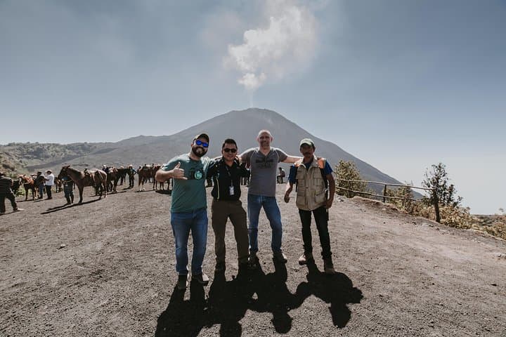
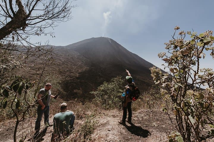
A raw wind meets the group as the minibus climbs out of the coastal plain toward the highlands. The road narrows, sugar-cane fields fall away and the cone of Pacaya grows; by the time hikers step onto volcanic basalt the air smells faintly of sulfur and hot stone. The trail pushes up through black scoria and compacted ash, with the cone’s rumble a constant, low companion.
Verified experiences and guided adventures in the surrounding area.
Operated by Guat2do Travel Experiences · Amatitlán, Escuintla
A raw wind meets the group as the minibus climbs out of the coastal plain toward the highlands. The road narrows, sugar-cane fields fall away and the cone of Pacaya grows; by the time hikers step onto volcanic basalt the air smells faintly of sulfur and hot stone. The trail pushes up through black scoria and compacted ash, with the cone’s rumble a constant, low companion.
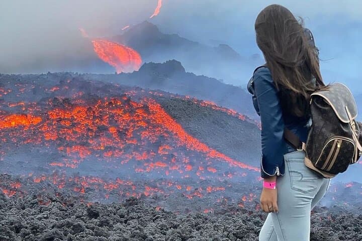
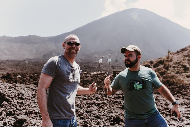
Pacaya is one of Guatemala’s most consistently active volcanoes and sits roughly 2,552 meters above sea level. Its modern activity is Strombolian — frequent small explosions and lava flows that have reshaped the slopes across decades. The route used by day visitors is well trodden: a 1.5-hour ascent on loose volcanic gravel to viewing platforms where hardened lava and occasional glowing coals sit within reach under guide supervision.
Culturally, the approach passes working farms and roadside stands; the highland communities here grow corn and coffee and will often sell snacks or woven goods near the park entrance. Geologically, the hike is a study in recent volcanism — fresh pahoehoe and aʻa textures, ash layers, and sharp basaltic outcrops.
Practically: expect a 7–8 hour round trip from Puerto Quetzal with private transport and a guided climb. Terrain is unstable in places — solid hiking boots, trekking poles, and layered clothing matter. Bring sun protection, at least 1–2 liters of water, and a sense of caution around hot sections; guides set safe viewing distances. The reward is immediate: close views of active vents and wide vistas over Lake Amatitlán and neighboring cones before a boxed lunch with the volcano at your feet.
moderate.
7–8 hours.
Good cardiovascular fitness and steady knees; able to sustain a 1.5-hour uphill hike on loose rock.
The guided climb from the park trailhead to viewing areas takes about 1.5 hours each way; with transport from Puerto Quetzal and breaks, expect 7–8 hours total.
Guides monitor volcanic activity and set safe distances; while glowing coals can sometimes be seen, touching active lava or crossing restricted zones is not permitted.
The tour isn’t recommended for people with serious mobility, back, heart, or pregnancy concerns; children may be allowed but consider the steep terrain and altitude.
Yes — this excursion includes private pick-up and drop-off at the Puerto Quetzal cruise terminal as stated in the inclusions.
Pacaya has been intermittently active for centuries and is one of Central America’s most frequently erupting volcanoes, with regular Strombolian activity observed in recent decades.
Pacaya Volcano is protected as a national park; visitors should stick to marked trails, avoid removing volcanic rock, and dispose of waste to limit erosion and disturbance.
Guat2do Travel Experiences operates guided outdoor trips and adventures with an emphasis on safety, stewardship, and memorable experiences.
A raw wind meets the group as the minibus climbs out of the coastal plain toward the highlands. The road narrows, sugar-cane fields fall away and the cone of Pacaya grows; by the time hikers step onto volcanic basalt the air smells faintly of sulfur and hot stone. The trail pushes up through black scoria and compacted ash, with the cone’s rumble a constant, low companion.
A raw wind meets the group as the minibus climbs out of the coastal plain toward the highlands. The road narrows, sugar-cane fields fall away and the cone of Pacaya grows; by the time hikers step onto volcanic basalt the air smells faintly of sulfur and hot stone. The trail pushes up through black scoria and compacted ash, with the cone’s rumble a constant, low companion.
Pacaya is one of Guatemala’s most consistently active volcanoes and sits roughly 2,552 meters above sea level. Its modern activity is Strombolian — frequent small explosions and lava flows that have reshaped the slopes across decades. The route used by day visitors is well trodden: a 1.5-hour ascent on loose volcanic gravel to viewing platforms where hardened lava and occasional glowing coals sit within reach under guide supervision.
Culturally, the approach passes working farms and roadside stands; the highland communities here grow corn and coffee and will often sell snacks or woven goods near the park entrance. Geologically, the hike is a study in recent volcanism — fresh pahoehoe and aʻa textures, ash layers, and sharp basaltic outcrops.
Practically: expect a 7–8 hour round trip from Puerto Quetzal with private transport and a guided climb. Terrain is unstable in places — solid hiking boots, trekking poles, and layered clothing matter. Bring sun protection, at least 1–2 liters of water, and a sense of caution around hot sections; guides set safe viewing distances. The reward is immediate: close views of active vents and wide vistas over Lake Amatitlán and neighboring cones before a boxed lunch with the volcano at your feet.