THE ADVENTURE COLLECTIVE® · Independent discovery and booking for outdoor travel

A compact, scenic trek up Llao-Llao hill delivers sweeping views of Lake Nahuel Huapi, Cerro López and the Blest and Capilla arms. Expect a 2–3 hour out-and-back through native coihue and cypress forest with several photographic viewpoints.
A compact, scenic trek up Llao-Llao hill delivers sweeping views of Lake Nahuel Huapi, Cerro López and the Blest and Capilla arms. Expect a 2–3 hour out-and-back through native coihue and cypress forest with several photographic viewpoints.
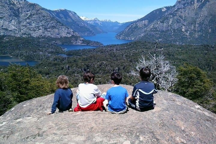
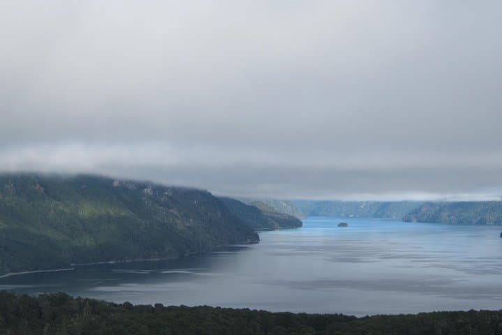
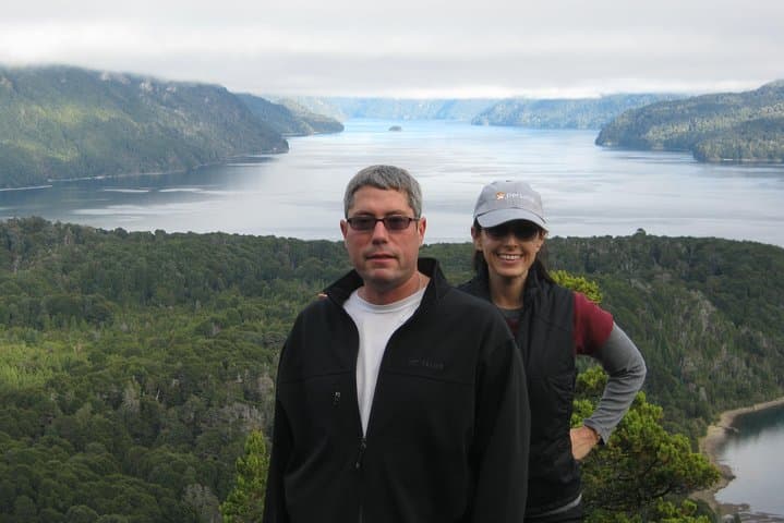
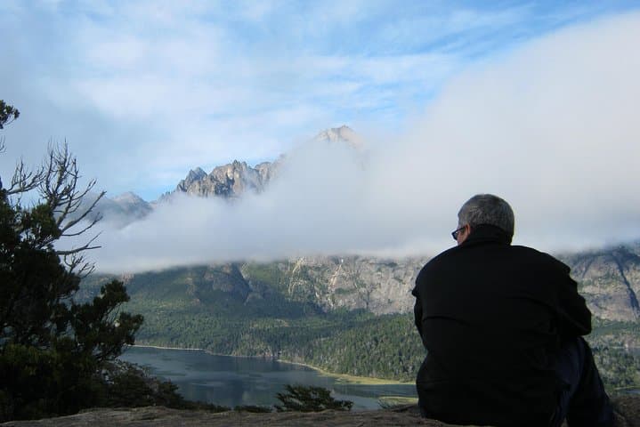
You step off a shaded track and into a cathedral of coihues and cypresses; cool air carries the lake’s echo uphill as the path tightens. The first stretch is gentle — a quiet ribbon of packed earth and needle-soft duff — then the trail begins to climb, switchbacking through native forest toward open viewpoints that open onto Moreno Bay and the broad blue of Nahuel Huapi. At each ledge the landscape rearranges itself: Cerro López rising to the east, fingered arms of Capilla and Blest curving away, a scattering of granite ridges and dark-needled trees pressing in.
Verified experiences and guided adventures in the surrounding area.
Operated by Guiando Patagonia · San Carlos de Bariloche, Río Negro
You step off a shaded track and into a cathedral of coihues and cypresses; cool air carries the lake’s echo uphill as the path tightens. The first stretch is gentle — a quiet ribbon of packed earth and needle-soft duff — then the trail begins to climb, switchbacking through native forest toward open viewpoints that open onto Moreno Bay and the broad blue of Nahuel Huapi. At each ledge the landscape rearranges itself: Cerro López rising to the east, fingered arms of Capilla and Blest curving away, a scattering of granite ridges and dark-needled trees pressing in.
The ridge you ascend sits on glacially sculpted bedrock carved during the last ice age; local Mapuche and early settlers used these promontories to read weather and routes across the lake. The park is managed as municipal reserve, preserving coastal woodland and the shoreline views that made Bariloche a gateway for alpine tourism in the 20th century.
Plan for roughly 2–3 hours on trail (about 4–6 km round-trip) with ~200–300 m of elevation gain depending on which viewpoints you tag. Trails are generally well marked but can be rocky and steep in sections; sturdy footwear, layered clothing, and 1–2 liters of water are recommended. Mornings offer calmer wind and better light for photos; afternoon clouds can build quickly, especially in spring and fall. Public transport and short transfers from San Carlos de Bariloche make this an accessible half-day outing for most hikers.
Practical tip: carry a small snack, respect trail closures, and leave no trace — the viewpoints are fragile and popular.
moderate.
2–3 hours.
Suitable for most hikers with a basic level of fitness; includes sustained uphill sections that raise heart rate for ~30–60 minutes.
Expect roughly 4–6 km round-trip with about 200–300 m of cumulative elevation gain, typically completed in 2–3 hours depending on stops.
Yes — the route is commonly described as accessible for most fitness levels, though children should be supervised on steeper lookout sections.
No municipal permits are usually required for the Llao-Llao municipal park trek, but access rules can change so check local signage and park notices before you go.
Yes — public transport and short transfers from central Bariloche serve the Llao-Llao area; confirm current schedules and stops with local operators.
The plateau and shoreline have been used by Mapuche communities for generations; the area later became a focus of early 20th-century alpine tourism as Bariloche developed.
The municipal park protects native Patagonian woodland and shoreline habitats; visitors are asked to stick to trails and avoid disturbing vegetation to reduce erosion and human impact.
Guiando Patagonia operates guided outdoor trips and adventures with an emphasis on safety, stewardship, and memorable experiences.
You step off a shaded track and into a cathedral of coihues and cypresses; cool air carries the lake’s echo uphill as the path tightens. The first stretch is gentle — a quiet ribbon of packed earth and needle-soft duff — then the trail begins to climb, switchbacking through native forest toward open viewpoints that open onto Moreno Bay and the broad blue of Nahuel Huapi. At each ledge the landscape rearranges itself: Cerro López rising to the east, fingered arms of Capilla and Blest curving away, a scattering of granite ridges and dark-needled trees pressing in.
You step off a shaded track and into a cathedral of coihues and cypresses; cool air carries the lake’s echo uphill as the path tightens. The first stretch is gentle — a quiet ribbon of packed earth and needle-soft duff — then the trail begins to climb, switchbacking through native forest toward open viewpoints that open onto Moreno Bay and the broad blue of Nahuel Huapi. At each ledge the landscape rearranges itself: Cerro López rising to the east, fingered arms of Capilla and Blest curving away, a scattering of granite ridges and dark-needled trees pressing in.
The ridge you ascend sits on glacially sculpted bedrock carved during the last ice age; local Mapuche and early settlers used these promontories to read weather and routes across the lake. The park is managed as municipal reserve, preserving coastal woodland and the shoreline views that made Bariloche a gateway for alpine tourism in the 20th century.
Plan for roughly 2–3 hours on trail (about 4–6 km round-trip) with ~200–300 m of elevation gain depending on which viewpoints you tag. Trails are generally well marked but can be rocky and steep in sections; sturdy footwear, layered clothing, and 1–2 liters of water are recommended. Mornings offer calmer wind and better light for photos; afternoon clouds can build quickly, especially in spring and fall. Public transport and short transfers from San Carlos de Bariloche make this an accessible half-day outing for most hikers.
Practical tip: carry a small snack, respect trail closures, and leave no trace — the viewpoints are fragile and popular.