THE ADVENTURE COLLECTIVE® · Independent discovery and booking for outdoor travel

Run ancient Berber footpaths above Imlil on a full-day trail run through the High Atlas. Expect rocky singletrack, walnut groves, steep cols and panoramic views, with a local lunch waiting at the finish.
Run ancient Berber footpaths above Imlil on a full-day trail run through the High Atlas. Expect rocky singletrack, walnut groves, steep cols and panoramic views, with a local lunch waiting at the finish.
You step out of the minivan on a cool morning above Imlil and the air tastes of dust, mint tea and cedar smoke. The trail peels away from a cluster of houses, first as a mule track between walnut trees, then as a stony climb that forces you into a steady, practiced rhythm. Low cliffs and terraced slopes frame the valley; each rise returns a wider view of the plateau and the rock fortress of Jebel Angour daring you onward.
Verified experiences and guided adventures in the surrounding area.
Operated by Atlas Mountains Guided Tour · Imlil, Marrakesh-Safi
You step out of the minivan on a cool morning above Imlil and the air tastes of dust, mint tea and cedar smoke. The trail peels away from a cluster of houses, first as a mule track between walnut trees, then as a stony climb that forces you into a steady, practiced rhythm. Low cliffs and terraced slopes frame the valley; each rise returns a wider view of the plateau and the rock fortress of Jebel Angour daring you onward.
These footpaths are older than the modern road map — Berber routes that once threaded villages, grazing pastures and shrines. The High Atlas here is folded granite and schist, carved by seasonal torrents into steep cols (tizi) and rocky ridges; human settlements cling where springs permit fruit trees and barley.
On this classic circuit from Ager Sioual you’ll pass Ait Aissa, weave past apple and walnut groves at Tizi Oussem, climb to the Tizi Mzik col and descend to Imlil — a run that blends culture and geology with the steady companion of local shepherds and the scent of frying tajine.
Practical guidance: expect 12–18 km of mixed singletrack and 4x4 track, roughly 700–900 m cumulative ascent over about 5–6 hours depending on pace. Trails are rocky with short steep pitches; trail shoes with good grip and poles for descents help. Start early for cooler temps and clearer views, carry 1–2 liters of water plus electrolytes, and leave space in your kit for a wind shell—the weather can shift quickly at the cols.
moderate.
5–6 hours.
Good cardiovascular fitness and experience on uneven, uphill terrain; comfort with sustained climbs and technical descents.
Expect roughly 12–18 km with approximately 700–900 m cumulative ascent depending on the exact loop and diversions.
Yes—this route is best for runners comfortable on uneven terrain and sustained climbs; beginners may prefer a guided walking pace.
You’ll pass small Berber villages where locals farm and tend flocks; basic greetings in Tamazight or Arabic are appreciated and guides can facilitate cultural exchanges.
Spring and fall are ideal for mild temps; summer can be hot at lower elevations and winter may bring snow and icy patches at higher cols, affecting footing and access.
These trails trace centuries-old Berber networks used for trade, seasonal herding and pilgrimage; villages retain traditional agricultural terraces and stone houses.
Erosion and seasonal water scarcity are local concerns; stick to marked tracks, carry out waste, and support community guides to keep tourism sustainable.
Atlas Mountains Guided Tour operates guided outdoor trips and adventures with an emphasis on safety, stewardship, and memorable experiences.
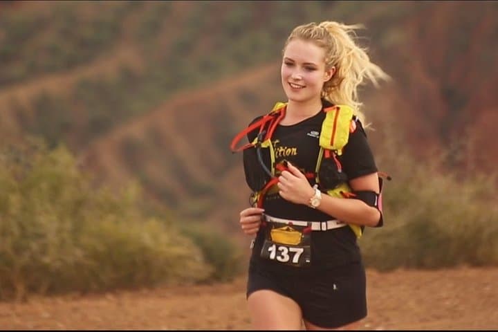
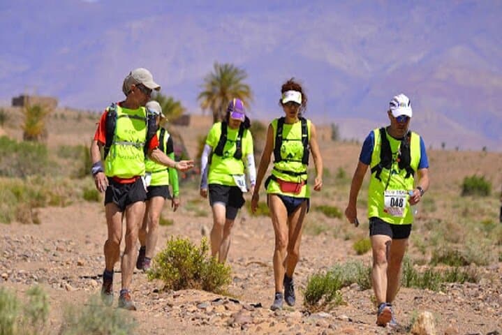
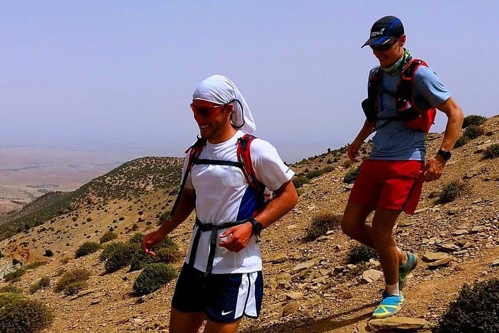
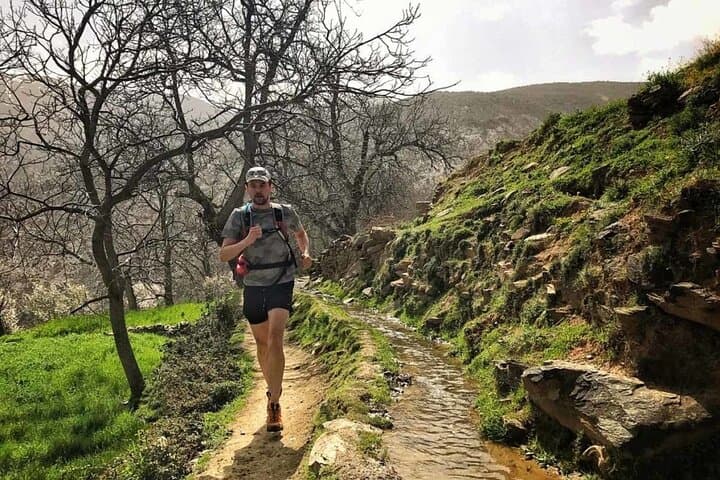
You step out of the minivan on a cool morning above Imlil and the air tastes of dust, mint tea and cedar smoke. The trail peels away from a cluster of houses, first as a mule track between walnut trees, then as a stony climb that forces you into a steady, practiced rhythm. Low cliffs and terraced slopes frame the valley; each rise returns a wider view of the plateau and the rock fortress of Jebel Angour daring you onward.
You step out of the minivan on a cool morning above Imlil and the air tastes of dust, mint tea and cedar smoke. The trail peels away from a cluster of houses, first as a mule track between walnut trees, then as a stony climb that forces you into a steady, practiced rhythm. Low cliffs and terraced slopes frame the valley; each rise returns a wider view of the plateau and the rock fortress of Jebel Angour daring you onward.
These footpaths are older than the modern road map — Berber routes that once threaded villages, grazing pastures and shrines. The High Atlas here is folded granite and schist, carved by seasonal torrents into steep cols (tizi) and rocky ridges; human settlements cling where springs permit fruit trees and barley.
On this classic circuit from Ager Sioual you’ll pass Ait Aissa, weave past apple and walnut groves at Tizi Oussem, climb to the Tizi Mzik col and descend to Imlil — a run that blends culture and geology with the steady companion of local shepherds and the scent of frying tajine.
Practical guidance: expect 12–18 km of mixed singletrack and 4x4 track, roughly 700–900 m cumulative ascent over about 5–6 hours depending on pace. Trails are rocky with short steep pitches; trail shoes with good grip and poles for descents help. Start early for cooler temps and clearer views, carry 1–2 liters of water plus electrolytes, and leave space in your kit for a wind shell—the weather can shift quickly at the cols.