THE ADVENTURE COLLECTIVE® · Independent discovery and booking for outdoor travel

Stand at the fast-changing edge of Tindfjallajökull and join Katla Geopark researchers in hands-on glacier mapping. This guided 4x4 and hike expedition combines highland scenery with citizen science, safety gear, and a certificate.
Stand at the fast-changing edge of Tindfjallajökull and join Katla Geopark researchers in hands-on glacier mapping. This guided 4x4 and hike expedition combines highland scenery with citizen science, safety gear, and a certificate.
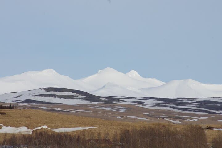
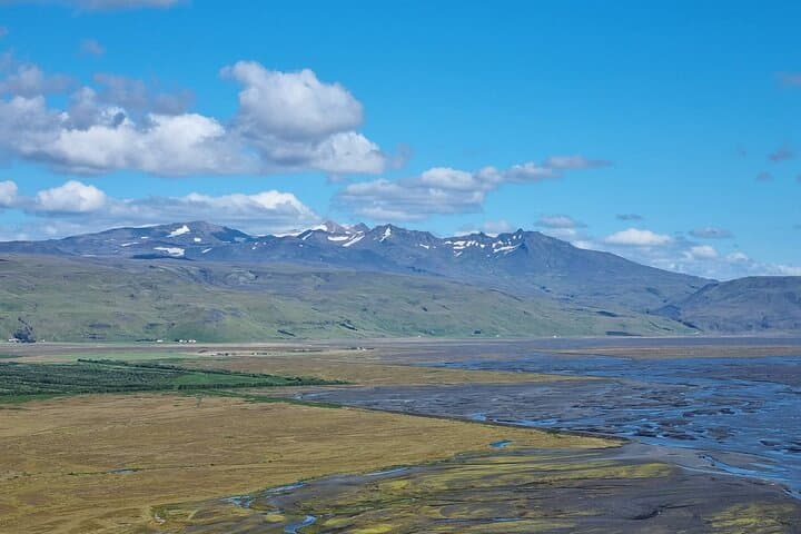
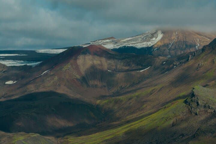
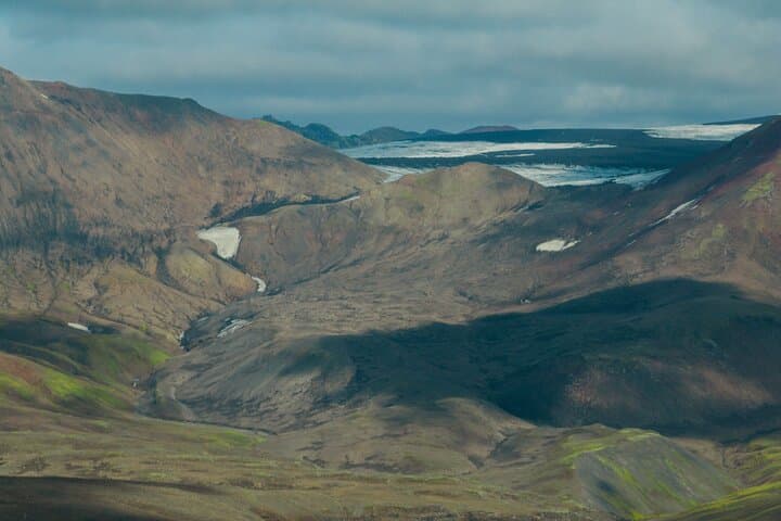
A low sun slices across basalt ridges as a line of 4x4s climbs into the highland silt. You step out where the air tastes of cold mineral and the glacier's edge seems to be breathing—ice thinning, crevasses yawning wider, and meltwater streams impatiently carving new paths. The Tindfjallajökull Mapping Expedition places you at the frontier of that change: part field team, part visitor.
Verified experiences and guided adventures in the surrounding area.
Operated by Gravel Travel · Vík, Suðurland (South Iceland)
A low sun slices across basalt ridges as a line of 4x4s climbs into the highland silt. You step out where the air tastes of cold mineral and the glacier's edge seems to be breathing—ice thinning, crevasses yawning wider, and meltwater streams impatiently carving new paths. The Tindfjallajökull Mapping Expedition places you at the frontier of that change: part field team, part visitor.
The high plain around Tindfjallajökull is young geology—volcanic bedrock overlain by remnant ice—and its margins tell a recent story of retreat. Katla Geopark uses this landscape to study glacial recession and ash-rich soils left by nearby eruptions. Local farming communities in the south have long read the landscape for signs of floods and volcanic unrest; today scientists and volunteers add measurements to that local knowledge.
Practically, expect a rugged 4x4 approach followed by roughly 1–1.5 hours of uneven hiking to reach the ice margin, where guides provide safety gear and instruction. You’ll help map ice extent, record melt features, and learn basic glaciology techniques; equipment and data handling are included, and participants receive a citizen scientist certificate. Bring sturdy, waterproof boots, layered clothing, and gloves for both sun and wind. Hydrate and plan for variable weather—conditions flip quickly in the Icelandic highlands. Respect roped zones and guide directions; the glacier is changing and the terrain can be unstable. For travelers who want to see climate processes in action, this expedition is deliberate, hands-on, and grounded in real research.
moderate.
6–8 hours.
Comfortable with 1–2 hours of uneven hiking and basic outdoor stamina; suitable for active travelers.
The on-foot approach is roughly 1–1.5 hours over uneven terrain; total tour time is about 8 hours including transport and fieldwork.
No; guides provide safety gear and basic instruction, but participants should be comfortable walking on rough ground.
You’ll help map ice margins, record melt features and GPS points, and submit observations that feed into Katla Geopark reports.
Layered clothing, waterproof jacket, sturdy boots, at least 1 liter of water, snacks, sunglasses, and a charged phone or camera.
Tindfjallajökull sits within a volcanically active region; periodic eruptions and ash deposits shape soils and influence glacial behavior important to local communities.
Tours limit foot traffic to managed routes and collect data to inform conservation; follow guide instructions to minimize erosion and disturbance.
Gravel Travel operates guided outdoor trips and adventures with an emphasis on safety, stewardship, and memorable experiences.
A low sun slices across basalt ridges as a line of 4x4s climbs into the highland silt. You step out where the air tastes of cold mineral and the glacier's edge seems to be breathing—ice thinning, crevasses yawning wider, and meltwater streams impatiently carving new paths. The Tindfjallajökull Mapping Expedition places you at the frontier of that change: part field team, part visitor.
A low sun slices across basalt ridges as a line of 4x4s climbs into the highland silt. You step out where the air tastes of cold mineral and the glacier's edge seems to be breathing—ice thinning, crevasses yawning wider, and meltwater streams impatiently carving new paths. The Tindfjallajökull Mapping Expedition places you at the frontier of that change: part field team, part visitor.
The high plain around Tindfjallajökull is young geology—volcanic bedrock overlain by remnant ice—and its margins tell a recent story of retreat. Katla Geopark uses this landscape to study glacial recession and ash-rich soils left by nearby eruptions. Local farming communities in the south have long read the landscape for signs of floods and volcanic unrest; today scientists and volunteers add measurements to that local knowledge.
Practically, expect a rugged 4x4 approach followed by roughly 1–1.5 hours of uneven hiking to reach the ice margin, where guides provide safety gear and instruction. You’ll help map ice extent, record melt features, and learn basic glaciology techniques; equipment and data handling are included, and participants receive a citizen scientist certificate. Bring sturdy, waterproof boots, layered clothing, and gloves for both sun and wind. Hydrate and plan for variable weather—conditions flip quickly in the Icelandic highlands. Respect roped zones and guide directions; the glacier is changing and the terrain can be unstable. For travelers who want to see climate processes in action, this expedition is deliberate, hands-on, and grounded in real research.