THE ADVENTURE COLLECTIVE® · Independent discovery and booking for outdoor travel

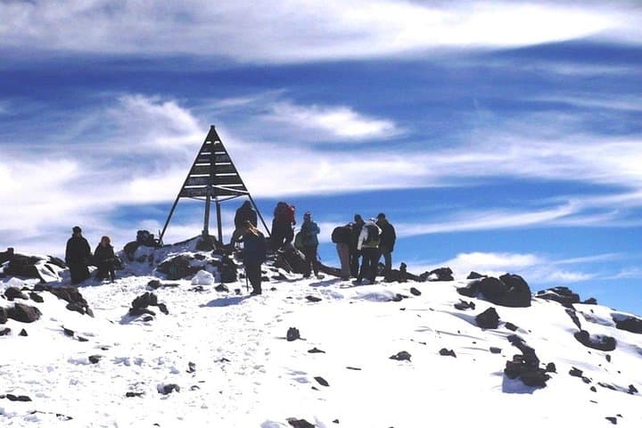
A compact, three-day guided trek from Imlil to the 4,167 m summit of Mount Toubkal. Expect steep ascents, a night in the Toubkal refuge, and an early summit push with sweeping High Atlas views.
A compact, three-day guided trek from Imlil to the 4,167 m summit of Mount Toubkal. Expect steep ascents, a night in the Toubkal refuge, and an early summit push with sweeping High Atlas views.
You set off before dawn from Imlil, headlamp cutting a pale line through chill air as the Atlas wakes around you—goats bleating, a guide's steady footsteps, the valley lightening behind. Over three days the route climbs from roughly 1,770 m in Imlil into high, stone-strewn alpine: waterfalls and terraced Berber fields give way to scree slopes and a compacted refuge at ~3,207 m before the 4,167 m summit push.
Verified experiences and guided adventures in the surrounding area.
Operated by Morocco Tours Services · Imlil / Marrakech, Marrakesh-Safi
You set off before dawn from Imlil, headlamp cutting a pale line through chill air as the Atlas wakes around you—goats bleating, a guide's steady footsteps, the valley lightening behind. Over three days the route climbs from roughly 1,770 m in Imlil into high, stone-strewn alpine: waterfalls and terraced Berber fields give way to scree slopes and a compacted refuge at ~3,207 m before the 4,167 m summit push.
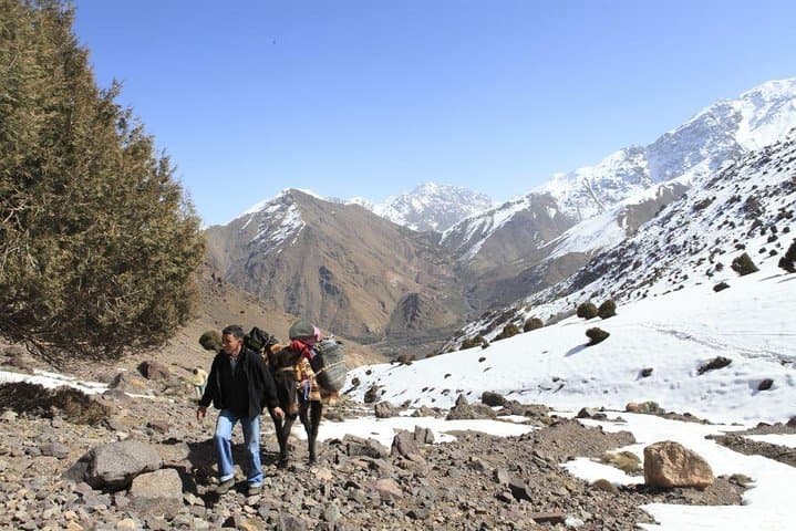
Geology here is blunt and honest—ancient uplifted rock folded into ridgelines that drop to broad southern plains. The area is lived-in: Amazigh (Berber) villages scatter the valleys, where mule tracks and seasonal grazing shape the land as much as weather. Local guides carry both route knowledge and cultural context, translating place names and pointing out terraced irrigation that’s been worked for centuries.
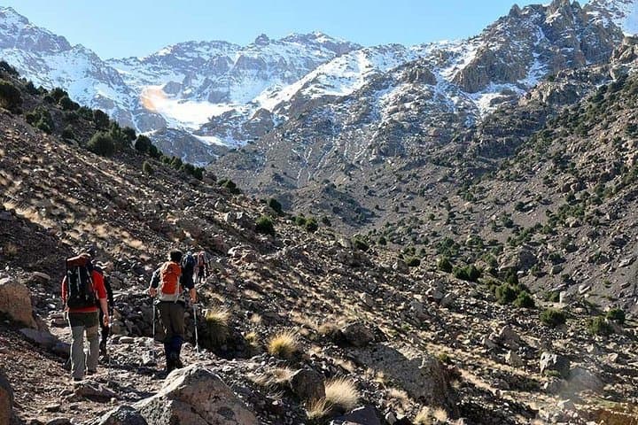
Practically, expect steep ascents on uneven trail, loose scree near cols, and a very early summit start on day three. The final summit day is roughly 17 km with about 1,130 m ascent and longer descent; total walking time can reach 10 hours. Overnight stays include a mountain refuge (shared bunks) and a valley hotel. Hydrate at every stop, layer for rapidly changing conditions, and use trekking poles for steep descents.
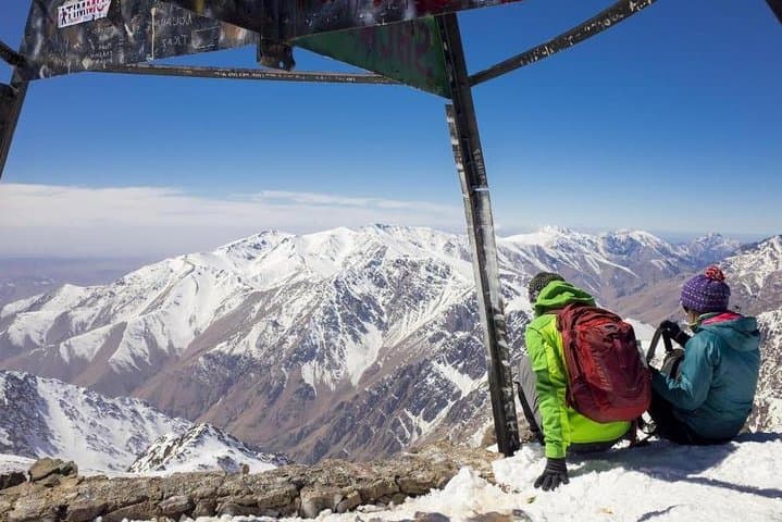
This itinerary is ideal for experienced day-hikers moving into high-altitude trekking: no technical climbing is required in normal conditions, but weather and altitude demand respect. Timing your summit for clear mornings rewards wide views—from the High Atlas spines to the plain around Marrakech—while the guides handle logistics and local transit back to the city.
challenging.
3 days (approx. 72 hours).
Good aerobic fitness with experience on long uphill days; able to walk 6–10+ hours with packs.
You should have good cardiovascular fitness and previous multi-hour uphill hiking experience; expect long days with sustained climbs and high-altitude effects.
On the standard route no technical climbing is necessary in summer, but winter conditions may require crampons and an ice axe—check season-specific advice.
The refuge typically offers shared bunk rooms with basic facilities; expect communal sleeping and bring a warm sleeping bag and liner.
Yes—most itineraries include pickup and drop-off in Marrakech with a transfer to Imlil at the start and return to the city at the end.
The High Atlas is home to Amazigh (Berber) communities whose terraces and irrigation systems reflect centuries of mountain agriculture and seasonal grazing.
Popular trails suffer erosion and water stress; stick to established routes, carry out waste, and use local guides to support community-based tourism.
Morocco Tours Services operates guided outdoor trips and adventures with an emphasis on safety, stewardship, and memorable experiences.
You set off before dawn from Imlil, headlamp cutting a pale line through chill air as the Atlas wakes around you—goats bleating, a guide's steady footsteps, the valley lightening behind. Over three days the route climbs from roughly 1,770 m in Imlil into high, stone-strewn alpine: waterfalls and terraced Berber fields give way to scree slopes and a compacted refuge at ~3,207 m before the 4,167 m summit push.
You set off before dawn from Imlil, headlamp cutting a pale line through chill air as the Atlas wakes around you—goats bleating, a guide's steady footsteps, the valley lightening behind. Over three days the route climbs from roughly 1,770 m in Imlil into high, stone-strewn alpine: waterfalls and terraced Berber fields give way to scree slopes and a compacted refuge at ~3,207 m before the 4,167 m summit push.
Geology here is blunt and honest—ancient uplifted rock folded into ridgelines that drop to broad southern plains. The area is lived-in: Amazigh (Berber) villages scatter the valleys, where mule tracks and seasonal grazing shape the land as much as weather. Local guides carry both route knowledge and cultural context, translating place names and pointing out terraced irrigation that’s been worked for centuries.
Practically, expect steep ascents on uneven trail, loose scree near cols, and a very early summit start on day three. The final summit day is roughly 17 km with about 1,130 m ascent and longer descent; total walking time can reach 10 hours. Overnight stays include a mountain refuge (shared bunks) and a valley hotel. Hydrate at every stop, layer for rapidly changing conditions, and use trekking poles for steep descents.
This itinerary is ideal for experienced day-hikers moving into high-altitude trekking: no technical climbing is required in normal conditions, but weather and altitude demand respect. Timing your summit for clear mornings rewards wide views—from the High Atlas spines to the plain around Marrakech—while the guides handle logistics and local transit back to the city.