THE ADVENTURE COLLECTIVE® · Independent discovery and booking for outdoor travel

A compact three-day trek from Marrakech into the High Atlas that blends classic mountain walking with visits to Berber villages and terraced valleys. Expect rocky trails, ridge views up to ~2,400 m, and nights in simple local gites.
A compact three-day trek from Marrakech into the High Atlas that blends classic mountain walking with visits to Berber villages and terraced valleys. Expect rocky trails, ridge views up to ~2,400 m, and nights in simple local gites.
The trail leaves Imlil before dawn, cool mountain air lifting the scents of pine and cooking fires as villagers prepare bread. Juniper-scented slopes rise and fall; rivers cut through gorges and dare you to look over their rocky lips. By midday the trail opens to terraces of corn and barley where children wave from stone houses, and by late afternoon the peaks push gold across the ridgelines.
Verified experiences and guided adventures in the surrounding area.
Operated by Toubkal Guide · Imlil, Marrakech-Safi
The trail leaves Imlil before dawn, cool mountain air lifting the scents of pine and cooking fires as villagers prepare bread. Juniper-scented slopes rise and fall; rivers cut through gorges and dare you to look over their rocky lips. By midday the trail opens to terraces of corn and barley where children wave from stone houses, and by late afternoon the peaks push gold across the ridgelines.
This three-day route explores the southern flank of the High Atlas, a young fold of granite and schist shaped by tectonic uplift and winter snows. The valleys have been home to Amazigh (Berber) farming communities for centuries—small hamlets, terraced plots and seasonal herds form the cultural backbone of the walk. Local gites and mule tracks reflect a long history of mountain travel between villages like Imlil, Tinerhourhine and Aït Aïssa.
Expect 4–7 hours of walking on marked but rocky trails, with passes near 2,400 m and daily gains and losses of several hundred meters. Trails range from packed dirt to stony scree; mules will carry larger luggage and a local guide and cook are typically included. Hydrate early, carry sun protection, and layer for rapid temperature shifts—mountain weather moves fast and the wind will push at your jacket.
This trek balances culture and terrain: arrive curious, respect local customs, and leave with a clearer sense of how people and landscape have shaped one another in the High Atlas.
moderate.
3 days (approx. 14–16 hours walking).
Moderate fitness required—able to hike 4–7 hours on uneven, rocky trails carrying a daypack; short steep sections demand good balance.
Daily walking ranges from about 4 to 7 hours with moderate elevation changes—good for hikers comfortable with sustained uphill and downhill sections.
Nights are spent in local gites—basic, clean guesthouses with communal meals prepared by the guide's cook.
Passes reach around 2,400 m; symptoms are uncommon but pace yourself, stay hydrated, and report any severe headaches or breathlessness to your guide.
Participants should be able to walk several hours over uneven trails; those with limited mobility will find parts challenging despite mule support for luggage.
The High Atlas valleys have long supported Amazigh farmers and herders; stone terraces and mule tracks reflect centuries of seasonal agriculture and trade.
Stick to established trails, avoid collecting plants or stones, and patronize local guides and gites to channel tourism benefits to mountain communities.
Toubkal Guide operates guided outdoor trips and adventures with an emphasis on safety, stewardship, and memorable experiences.
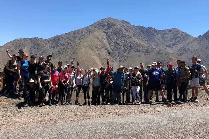
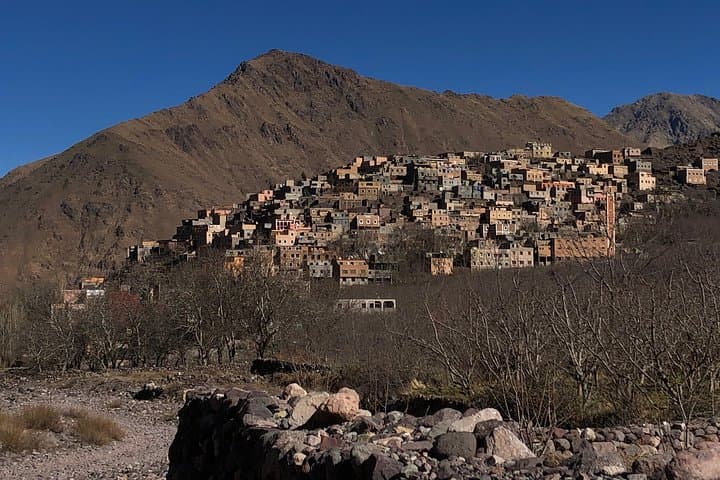
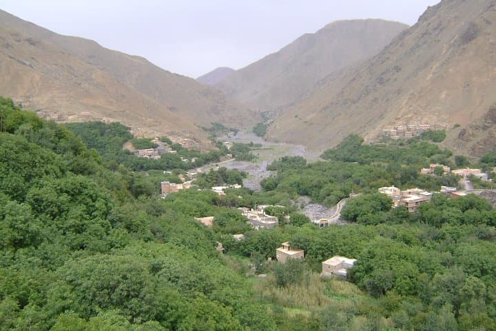
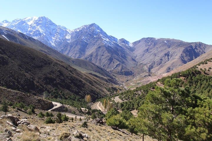
The trail leaves Imlil before dawn, cool mountain air lifting the scents of pine and cooking fires as villagers prepare bread. Juniper-scented slopes rise and fall; rivers cut through gorges and dare you to look over their rocky lips. By midday the trail opens to terraces of corn and barley where children wave from stone houses, and by late afternoon the peaks push gold across the ridgelines.
The trail leaves Imlil before dawn, cool mountain air lifting the scents of pine and cooking fires as villagers prepare bread. Juniper-scented slopes rise and fall; rivers cut through gorges and dare you to look over their rocky lips. By midday the trail opens to terraces of corn and barley where children wave from stone houses, and by late afternoon the peaks push gold across the ridgelines.
This three-day route explores the southern flank of the High Atlas, a young fold of granite and schist shaped by tectonic uplift and winter snows. The valleys have been home to Amazigh (Berber) farming communities for centuries—small hamlets, terraced plots and seasonal herds form the cultural backbone of the walk. Local gites and mule tracks reflect a long history of mountain travel between villages like Imlil, Tinerhourhine and Aït Aïssa.
Expect 4–7 hours of walking on marked but rocky trails, with passes near 2,400 m and daily gains and losses of several hundred meters. Trails range from packed dirt to stony scree; mules will carry larger luggage and a local guide and cook are typically included. Hydrate early, carry sun protection, and layer for rapid temperature shifts—mountain weather moves fast and the wind will push at your jacket.
This trek balances culture and terrain: arrive curious, respect local customs, and leave with a clearer sense of how people and landscape have shaped one another in the High Atlas.