THE ADVENTURE COLLECTIVE® · Independent discovery and booking for outdoor travel

Climb from Imlil to the less-visited Talamroute summit for uninterrupted 360° views of the Toubkal Massif, then savor a homemade Berber lunch in Imlil. This day hike pairs manageable elevation gain with big alpine panoramas and local hospitality.
Climb from Imlil to the less-visited Talamroute summit for uninterrupted 360° views of the Toubkal Massif, then savor a homemade Berber lunch in Imlil. This day hike pairs manageable elevation gain with big alpine panoramas and local hospitality.
A thin wind pushes pine needles along the ridge as you climb out of Imlil, the village shrinking into a patchwork of stone roofs and mule tracks. By the time you cross Tizi n’Tamatert (2,280m) the valley has folded into layers of shadow and sun, and the final shoulder of Talamroute rises steep and clear ahead.
Verified experiences and guided adventures in the surrounding area.
Operated by Atlas Mountains View · Imlil, Marrakesh-Safi
A thin wind pushes pine needles along the ridge as you climb out of Imlil, the village shrinking into a patchwork of stone roofs and mule tracks. By the time you cross Tizi n’Tamatert (2,280m) the valley has folded into layers of shadow and sun, and the final shoulder of Talamroute rises steep and clear ahead.
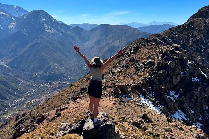
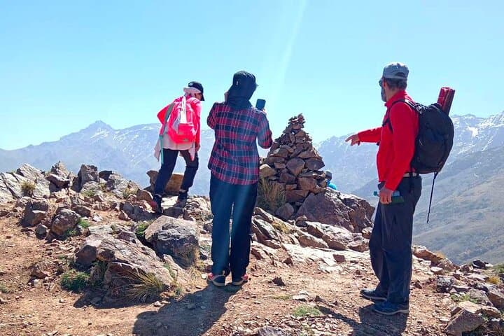
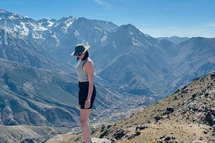
This route threads local geography and culture: the Tamatert Valley, the Berber hamlet of Ait Souka, and a ridge that exposes the raw geology of the High Atlas—ancient sedimentary bands tipped by tectonic forces that formed the towering Toubkal Massif. From the 2,600m summit the panorama is uncompromising: Imenane and Imlil valleys drop away, North Africa’s highest villages like Tachdirt sit on far terraces, and the bulk of Mt. Toubkal (4,167m) dominates the skyline.
Locally guided day hikes are part of the region’s mountain economy; the route finishes with a homestyle Berber lunch in Imlil, where hosts use seasonal vegetables, tagine and freshly steeped mint tea to refuel trekkers.
Practical guidance: the standard itinerary includes an 80-minute transfer from Marrakesh, ~2 hours ascent from 1,700m to 2,600m and roughly 1 hour 50–120 minutes descent. Trails are mostly clear but can be rocky, muddy or snowy depending on season. Wear sturdy hiking shoes, layered warm clothing, bring 1–2 liters of water, sun protection and basic blister care. Allow time for steady pacing and short acclimatization breaks; weather in the High Atlas changes quickly, so plan for wind and cool temperatures at the summit.
moderate.
8 hours (including transfers).
Moderate fitness—able to sustain steady uphill walking for ~2 hours with breaks and carry a daypack.
Expect about 2 hours to ascend from ~1,700m to 2,600m and roughly 1 hour 50–120 minutes to descend, not including transfers from Marrakesh.
The trail is gradual and well-marked, so hikers with moderate fitness and no serious medical issues can usually complete it; notify guides of any concerns.
The highest point is around 2,600m—most people tolerate this, but take it slow, stay hydrated and stop if you feel severe headache, nausea or dizziness.
Yes—local hosts typically offer vegetarian options and can often accommodate dietary restrictions if informed in advance during booking.
The High Atlas villages are predominantly Berber (Amazigh); traditional transhumance and terraced farming shaped settlement patterns around Imlil over centuries.
Stick to established trails to limit erosion, avoid feeding wildlife, and support local guides whose work promotes sustainable mountain tourism.
Atlas Mountains View operates guided outdoor trips and adventures with an emphasis on safety, stewardship, and memorable experiences.
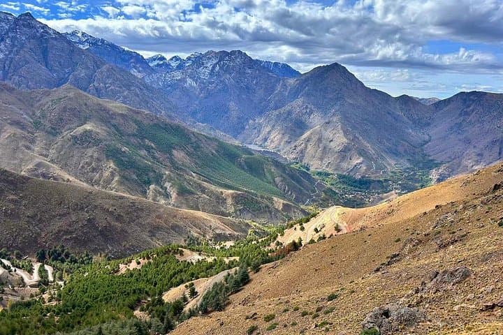
A thin wind pushes pine needles along the ridge as you climb out of Imlil, the village shrinking into a patchwork of stone roofs and mule tracks. By the time you cross Tizi n’Tamatert (2,280m) the valley has folded into layers of shadow and sun, and the final shoulder of Talamroute rises steep and clear ahead.
A thin wind pushes pine needles along the ridge as you climb out of Imlil, the village shrinking into a patchwork of stone roofs and mule tracks. By the time you cross Tizi n’Tamatert (2,280m) the valley has folded into layers of shadow and sun, and the final shoulder of Talamroute rises steep and clear ahead.
This route threads local geography and culture: the Tamatert Valley, the Berber hamlet of Ait Souka, and a ridge that exposes the raw geology of the High Atlas—ancient sedimentary bands tipped by tectonic forces that formed the towering Toubkal Massif. From the 2,600m summit the panorama is uncompromising: Imenane and Imlil valleys drop away, North Africa’s highest villages like Tachdirt sit on far terraces, and the bulk of Mt. Toubkal (4,167m) dominates the skyline.
Locally guided day hikes are part of the region’s mountain economy; the route finishes with a homestyle Berber lunch in Imlil, where hosts use seasonal vegetables, tagine and freshly steeped mint tea to refuel trekkers.
Practical guidance: the standard itinerary includes an 80-minute transfer from Marrakesh, ~2 hours ascent from 1,700m to 2,600m and roughly 1 hour 50–120 minutes descent. Trails are mostly clear but can be rocky, muddy or snowy depending on season. Wear sturdy hiking shoes, layered warm clothing, bring 1–2 liters of water, sun protection and basic blister care. Allow time for steady pacing and short acclimatization breaks; weather in the High Atlas changes quickly, so plan for wind and cool temperatures at the summit.