THE ADVENTURE COLLECTIVE® · Independent discovery and booking for outdoor travel

Escape Marrakech for a full-day guided hike into the High Atlas, climbing village trails and ridgelines to a high point around 2,500–2,600 m. Expect cultural stops in Berber villages, panoramic views of Jbel Toubkal, and a 3–5 hour guided walk balanced by comfortable transfer time.
Escape Marrakech for a full-day guided hike into the High Atlas, climbing village trails and ridgelines to a high point around 2,500–2,600 m. Expect cultural stops in Berber villages, panoramic views of Jbel Toubkal, and a 3–5 hour guided walk balanced by comfortable transfer time.
You step out of the minivan and the air changes—cooler, thinner, scented with pine and dust. Trails from Imlil thread upward through terraced fields and compact stone Berber houses; above, the Atlas puts on a show of raw ridgelines and sculpted scree. The route climbs to roughly 2,500–2,600 m, offering a summit feel without the technical exposure of Jbel Toubkal.
Verified experiences and guided adventures in the surrounding area.
Operated by Hiking in Morocco - Day Tours · Imlil, Marrakech-Safi
You step out of the minivan and the air changes—cooler, thinner, scented with pine and dust. Trails from Imlil thread upward through terraced fields and compact stone Berber houses; above, the Atlas puts on a show of raw ridgelines and sculpted scree. The route climbs to roughly 2,500–2,600 m, offering a summit feel without the technical exposure of Jbel Toubkal.
Geologically the High Atlas is young and uplifted, a contrast of hard volcanic and metamorphic rock carved by seasonal meltwater. The valleys around Imlil and Aremd carry a long human history: Amazigh (Berber) communities have grazed and farmed these slopes for centuries, and village life remains a practical counterpoint to the mountain’s drama. Expect trail-side encounters with shepherds, terraced apple orchards, and the distant silhouette of Jbel Toubkal towering at 4,167 m.
Practically: the guided portion is a 3–5 hour hike, with a total day from Marrakech of about 8–10 hours including transfers. Elevation gain from Imlil is roughly 700–900 m and the terrain alternates packed dirt, rocky switchbacks and short scree sections—good trekking shoes required. Bring layered clothing for rapidly changing conditions, at least 1.5–2 L of water, sun protection, and cash for a village lunch or tea. Mobile signal is intermittent; follow your guide on narrow ridgelines and allow slower hikers space. Start early to avoid afternoon cloud build-up and to get the clearest views of the Mizane Valley and the Toubkal massif.
moderate.
8–10 hours (full day, includes transfers); 3–5 hours hiking.
Suitable for hikers with moderate fitness who can sustain several hours of uphill walking and manage altitude changes
The trail is moderate: steady climbing with some rocky switchbacks and a total ascent around 700–900 m from Imlil; no technical climbing required.
Departures typically begin around 9:00 AM from Marrakech with return late afternoon—expect an 8–10 hour day including transfers.
A village lunch and tea are usually provided; bring additional water and snacks for the hike as village options are limited.
At elevations near 2,500 m some people feel mild symptoms; ascend gradually, hydrate, and tell your guide if you feel unwell.
Amazigh (Berber) communities have inhabited these valleys for centuries; village agriculture and stone architecture reflect long-standing mountain livelihoods.
Stick to established trails to prevent erosion of fragile slopes; small purchases and tips help local families who steward these routes.
Hiking in Morocco - Day Tours operates guided outdoor trips and adventures with an emphasis on safety, stewardship, and memorable experiences.
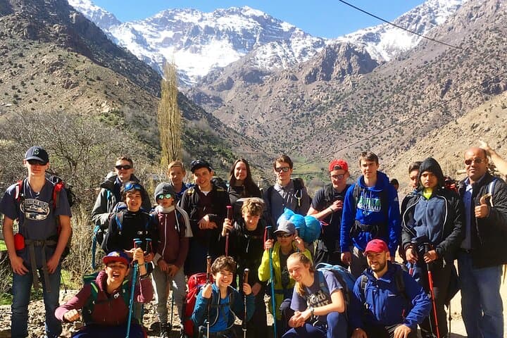

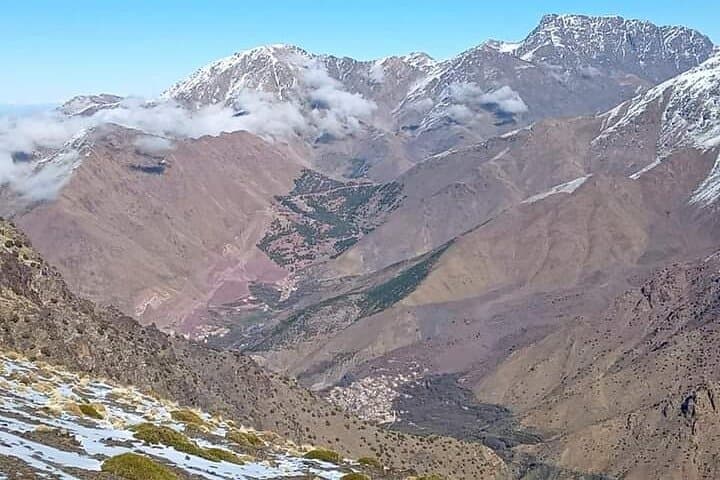
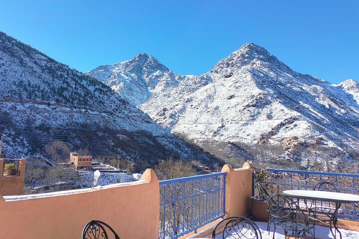
You step out of the minivan and the air changes—cooler, thinner, scented with pine and dust. Trails from Imlil thread upward through terraced fields and compact stone Berber houses; above, the Atlas puts on a show of raw ridgelines and sculpted scree. The route climbs to roughly 2,500–2,600 m, offering a summit feel without the technical exposure of Jbel Toubkal.
You step out of the minivan and the air changes—cooler, thinner, scented with pine and dust. Trails from Imlil thread upward through terraced fields and compact stone Berber houses; above, the Atlas puts on a show of raw ridgelines and sculpted scree. The route climbs to roughly 2,500–2,600 m, offering a summit feel without the technical exposure of Jbel Toubkal.
Geologically the High Atlas is young and uplifted, a contrast of hard volcanic and metamorphic rock carved by seasonal meltwater. The valleys around Imlil and Aremd carry a long human history: Amazigh (Berber) communities have grazed and farmed these slopes for centuries, and village life remains a practical counterpoint to the mountain’s drama. Expect trail-side encounters with shepherds, terraced apple orchards, and the distant silhouette of Jbel Toubkal towering at 4,167 m.
Practically: the guided portion is a 3–5 hour hike, with a total day from Marrakech of about 8–10 hours including transfers. Elevation gain from Imlil is roughly 700–900 m and the terrain alternates packed dirt, rocky switchbacks and short scree sections—good trekking shoes required. Bring layered clothing for rapidly changing conditions, at least 1.5–2 L of water, sun protection, and cash for a village lunch or tea. Mobile signal is intermittent; follow your guide on narrow ridgelines and allow slower hikers space. Start early to avoid afternoon cloud build-up and to get the clearest views of the Mizane Valley and the Toubkal massif.