THE ADVENTURE COLLECTIVE® · Independent discovery and booking for outdoor travel

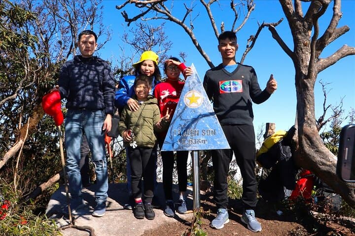
Climb Vietnam’s sixth-highest peak on a compact 2-day, 1-night trek from Sapa. Move through ancient maple groves and rhododendron forests, camp high near 2,500 m, and reach the 2,996 m summit at dawn.
Climb Vietnam’s sixth-highest peak on a compact 2-day, 1-night trek from Sapa. Move through ancient maple groves and rhododendron forests, camp high near 2,500 m, and reach the 2,996 m summit at dawn.
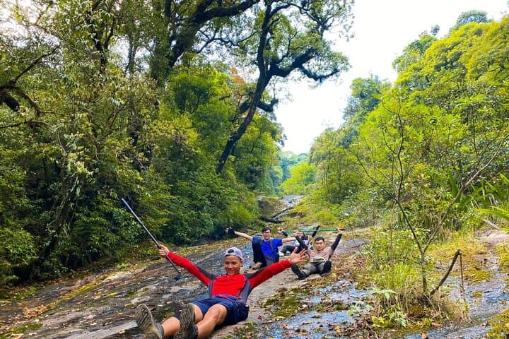
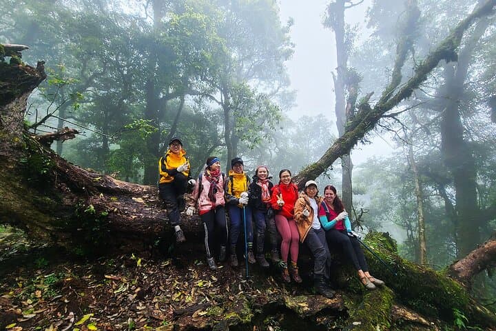
Mist clings to the trees and the trail breathes cold air as you step off the motorbike and into the forest. On day one the path climbs through maple groves that flare red in season, past bamboo thickets and moss-heavy trunks that seem to lean in to watch your progress. By evening a high campsite at about 2,500 m opens onto a sky that cools and clears with the falling light.
Verified experiences and guided adventures in the surrounding area.
Operated by Authentic SAPA · Sapa, Lào Cai
Mist clings to the trees and the trail breathes cold air as you step off the motorbike and into the forest. On day one the path climbs through maple groves that flare red in season, past bamboo thickets and moss-heavy trunks that seem to lean in to watch your progress. By evening a high campsite at about 2,500 m opens onto a sky that cools and clears with the falling light.
Ta Lien Son sits on the edge of the Hoang Lien Range that threads northwest Vietnam. Geologically the massif is an extension of the Himalaya-influenced uplands—steep ridgelines, quick elevation gain, and soils that support rhododendrons and Chi Pau flowers. The area has long been home to H’Mong and Dao communities; local guides often weave traditional stories and practical mountain knowledge into the trek.
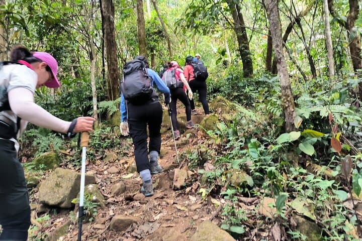
Expect 10 km of motorbike transfer on rough trails to the trailhead, then a sustained ascent over two days to 2,996 m—Vietnam’s sixth highest peak. Terrain alternates between packed earth, loose scree and root-strewn forest that can be slippery in wet weather. You’ll camp one night in tents provided by the operator and return to Sapa the second day for hot baths and a celebratory meal.
Practical tips: pace your breathing on steep pitches, carry warm layers for summit dawns, and use good ankle-support boots for uneven roots and scree. Altitude is modest but real—drink, eat, and rest. The route is guided, with porters and basic medical supplies included, but prepare for long days of uphill walking and rapidly changing mountain weather.
challenging.
2 days (approx. 48 hours).
Suitable for hikers with regular aerobic fitness; expect long uphill sections and multi-hour summit day—train on sustained climbs beforehand.
You should be comfortable hiking 6–8 hours with elevation gain; the itinerary is guided and suitable for regular hikers but includes steep, sustained climbs.
The summit is 2,996 m. Acute altitude sickness is uncommon at this elevation for short trips, but monitor symptoms—headache, nausea, dizziness—and descend if they worsen.
Typical inclusions are motorbike transfers to the trailhead, camping gear, sleeping pads, some meals, porters for light luggage, guide services, and basic medical supplies.
Bring ankle-supporting hiking boots, moisture-wicking base layers, an insulated midlayer, waterproof shell, gloves, and a warm hat for summit conditions.
Highland communities such as the H’Mong and Dao have grazed and farmed these uplands for generations; local trails often follow old transhumance paths.
The Hoang Lien forests are ecologically sensitive—stay on trails, pack out waste, and avoid open fires to protect fragile alpine vegetation.
Authentic SAPA operates guided outdoor trips and adventures with an emphasis on safety, stewardship, and memorable experiences.
Mist clings to the trees and the trail breathes cold air as you step off the motorbike and into the forest. On day one the path climbs through maple groves that flare red in season, past bamboo thickets and moss-heavy trunks that seem to lean in to watch your progress. By evening a high campsite at about 2,500 m opens onto a sky that cools and clears with the falling light.
Mist clings to the trees and the trail breathes cold air as you step off the motorbike and into the forest. On day one the path climbs through maple groves that flare red in season, past bamboo thickets and moss-heavy trunks that seem to lean in to watch your progress. By evening a high campsite at about 2,500 m opens onto a sky that cools and clears with the falling light.
Ta Lien Son sits on the edge of the Hoang Lien Range that threads northwest Vietnam. Geologically the massif is an extension of the Himalaya-influenced uplands—steep ridgelines, quick elevation gain, and soils that support rhododendrons and Chi Pau flowers. The area has long been home to H’Mong and Dao communities; local guides often weave traditional stories and practical mountain knowledge into the trek.
Expect 10 km of motorbike transfer on rough trails to the trailhead, then a sustained ascent over two days to 2,996 m—Vietnam’s sixth highest peak. Terrain alternates between packed earth, loose scree and root-strewn forest that can be slippery in wet weather. You’ll camp one night in tents provided by the operator and return to Sapa the second day for hot baths and a celebratory meal.
Practical tips: pace your breathing on steep pitches, carry warm layers for summit dawns, and use good ankle-support boots for uneven roots and scree. Altitude is modest but real—drink, eat, and rest. The route is guided, with porters and basic medical supplies included, but prepare for long days of uphill walking and rapidly changing mountain weather.