THE ADVENTURE COLLECTIVE® · Independent discovery and booking for outdoor travel

A two-day push into the Hoang Lien highlands that finishes atop Ta Lien Son at nearly 3,000m. Expect steep trails, mist-soaked forests, a night in tents, and sunrise above a sea of clouds.
A two-day push into the Hoang Lien highlands that finishes atop Ta Lien Son at nearly 3,000m. Expect steep trails, mist-soaked forests, a night in tents, and sunrise above a sea of clouds.
Night air in the bus gives way to the metallic scent of motorbike exhaust and the first cool breaths of mountain dawn. By 7:30 a.m. you’re on the back of a local bike, winding into mist-draped tracks where the forest begins to thicken and the world narrows to the rhythm of your boots.
Verified experiences and guided adventures in the surrounding area.
Operated by Local Tours PU LUONG · Sapa, Lào Cai
Night air in the bus gives way to the metallic scent of motorbike exhaust and the first cool breaths of mountain dawn. By 7:30 a.m. you’re on the back of a local bike, winding into mist-draped tracks where the forest begins to thicken and the world narrows to the rhythm of your boots.
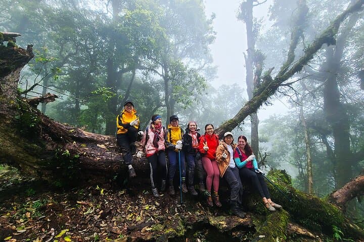
Ta Lien Son rises from the Hoang Lien range with geology of folded sedimentary ridges and weathered granite outcrops; centuries of rainfall have carved steep gullies and perched terraces. The slopes host stands of ancient maple and rhododendron, and the high camp opens onto a cloud sea at 2,500m. Culturally the trail threads H’Mong and Dao hamlets—expect warm, practical hospitality and simple mountain food that reflects a long-standing subsistence culture.
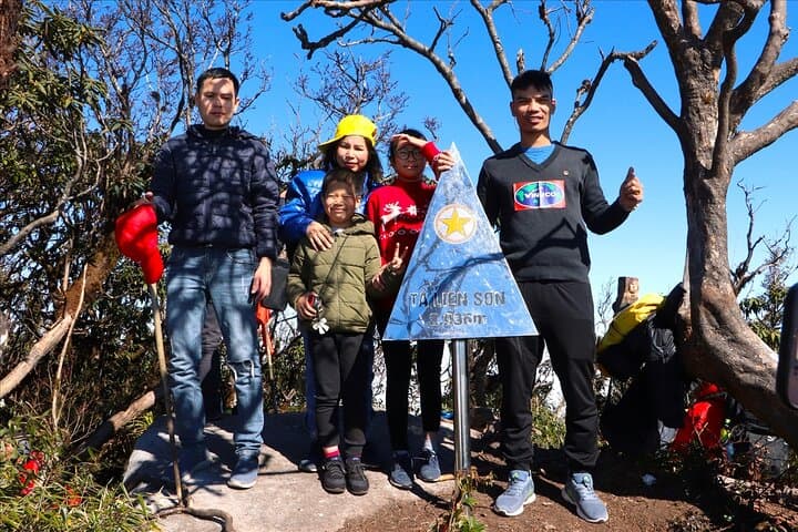
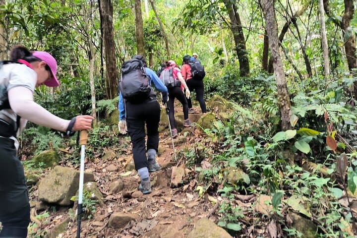
Over two days you’ll gain nearly 1,500 meters in altitude, negotiate steep, sometimes muddy switchbacks, and sleep under canvas before pushing to the 2,996m summit at sunrise, when the mist pulls like a curtain and valleys assert themselves below. Guides carry safety gear and porters take light luggage; trails are non-technical but sustained.
Practical guidance: pace your ascent, drink consistently, and layer for rapid temperature swings—nights can drop well below freezing. Footwear with ankle support and a dependable rain shell make the difference on wet ground. Leave no trace: stick to campsites, pack out waste, and conserve water where possible. Plan for early starts, basic camping comfort, and the slow, satisfying work of climbing into the clouds.
challenging.
2 days (approx).
Good cardiovascular fitness and comfort with sustained hikes of 4–8 hours per day; ability to carry a light daypack and sleep in a tent.
The route is non-technical but sustained: expect steep sections and a nearly 1,500m elevation gain spread over two days; previous hiking experience is helpful.
Basic camping equipment including sleeping pad, sleeping bag, and tent are included, though bringing a personal liner adds comfort.
Local guides are provided and required by the operator; there is no individual permit system, but regional access is managed through organized treks.
The operator monitors conditions; heavy storms may delay the summit attempt and the standard cancellation policy applies—confirm specifics at booking.
The trail passes H’Mong and Dao highland communities whose terraced agriculture and seasonal migrations shaped settlement patterns in the Hoang Lien range.
The high-altitude forest is fragile; stick to marked trails, minimize campfire use, and use provided refill water to reduce plastic waste.
Local Tours PU LUONG operates guided outdoor trips and adventures with an emphasis on safety, stewardship, and memorable experiences.
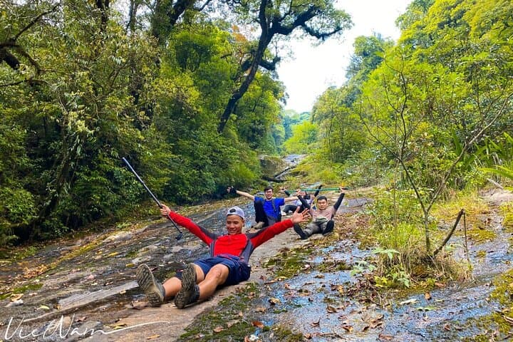
Night air in the bus gives way to the metallic scent of motorbike exhaust and the first cool breaths of mountain dawn. By 7:30 a.m. you’re on the back of a local bike, winding into mist-draped tracks where the forest begins to thicken and the world narrows to the rhythm of your boots.
Night air in the bus gives way to the metallic scent of motorbike exhaust and the first cool breaths of mountain dawn. By 7:30 a.m. you’re on the back of a local bike, winding into mist-draped tracks where the forest begins to thicken and the world narrows to the rhythm of your boots.
Ta Lien Son rises from the Hoang Lien range with geology of folded sedimentary ridges and weathered granite outcrops; centuries of rainfall have carved steep gullies and perched terraces. The slopes host stands of ancient maple and rhododendron, and the high camp opens onto a cloud sea at 2,500m. Culturally the trail threads H’Mong and Dao hamlets—expect warm, practical hospitality and simple mountain food that reflects a long-standing subsistence culture.
Over two days you’ll gain nearly 1,500 meters in altitude, negotiate steep, sometimes muddy switchbacks, and sleep under canvas before pushing to the 2,996m summit at sunrise, when the mist pulls like a curtain and valleys assert themselves below. Guides carry safety gear and porters take light luggage; trails are non-technical but sustained.
Practical guidance: pace your ascent, drink consistently, and layer for rapid temperature swings—nights can drop well below freezing. Footwear with ankle support and a dependable rain shell make the difference on wet ground. Leave no trace: stick to campsites, pack out waste, and conserve water where possible. Plan for early starts, basic camping comfort, and the slow, satisfying work of climbing into the clouds.