THE ADVENTURE COLLECTIVE® · Independent discovery and booking for outdoor travel

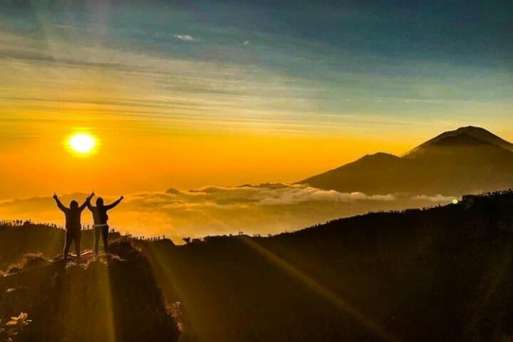
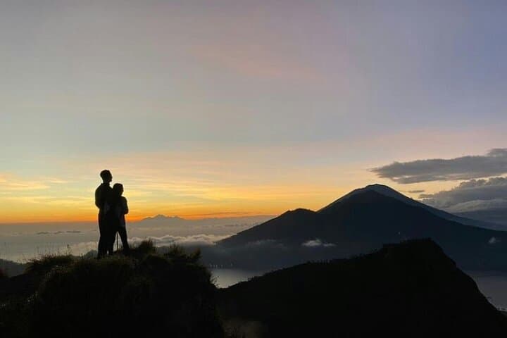
Gain the summit for sunrise on Mount Batur with a guided climb from Toyabungkah village. Expect loose volcanic scree, a crater-rim walk and a breakfast at altitude after a 2–3 hour ascent.
Gain the summit for sunrise on Mount Batur with a guided climb from Toyabungkah village. Expect loose volcanic scree, a crater-rim walk and a breakfast at altitude after a 2–3 hour ascent.
You leave Kuta before dawn and the van threads quiet coastal roads toward the island’s interior, arriving at Toyabungkah while the sky is still ink. By headlamp, you follow a narrow footpath that climbs through black sand and broken lava, the slope pulling you forward until the horizon begins to pale.
Verified experiences and guided adventures in the surrounding area.
Operated by Krisna Bali Trekking Tour · Kintamani, Bali
You leave Kuta before dawn and the van threads quiet coastal roads toward the island’s interior, arriving at Toyabungkah while the sky is still ink. By headlamp, you follow a narrow footpath that climbs through black sand and broken lava, the slope pulling you forward until the horizon begins to pale.
Mount Batur sits at 1,717 m and occupies a dramatic caldera formed by multiple eruptions over centuries; between 1804 and 2000 it erupted roughly 30 times. The volcano’s layered lava flows reveal its violent geology, while nearby villages—part of Bangli regency—hold Balinese temples and coffee plantations that reflect long local stewardship of the land.
The route is mostly loose volcanic scree, short stone steps and steep pitches; expect uneven footing and exposed sections as you approach the rim. Guides typically start around 2–3 AM; ascent for beginners runs about 2–3 hours depending on pace, with a crater-rim walk and sunrise stop that rewards the climb. Breakfast is commonly served near the summit and the return to Toyabungkah follows a 1–2 hour descent.
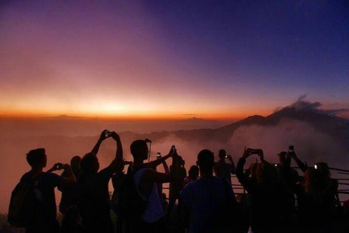
Practical notes: bring a headlamp, warm layers for summit winds, sturdy shoes for gritty slopes, and water. Altitude is modest but chilly at the top; hire a local guide for navigation and cultural context. The trail is popular—early starts and private tours reduce crowding—and the best light is during the dry season from April to October.
This trek is straightforward for fit beginners who move steadily uphill, and it delivers a raw, volcanic landscape where the ground seems to remember every eruption and the sunrise dares you to keep going.
moderate.
3–6 hours.
Moderate fitness—able to sustain steady uphill walking for 2–3 hours with short breaks; good balance on loose terrain helps.
Expect about 2–3 hours to reach the summit for beginner to intermediate hikers; descent typically takes 1–2 hours.
Mount Batur is an active volcano but monitored; guides and operators will cancel or alter trips if authorities report hazardous activity—check local advisories before booking.
Local guides are recommended and often required; entrance fees to Kintamani and park or village access are typically included by reputable operators.
At 1,717 m the risk of altitude sickness is low for most people, but move slowly, hydrate, and mention any health concerns when booking.
Mount Batur’s caldera formed after major eruptions; the 1926 event reshaped local villages and submerged parts of the original Batur settlement.
Stick to established paths, respect temple sites and village property, and avoid littering—the caldera’s soils are fragile and local guides help minimize impact.
Krisna Bali Trekking Tour operates guided outdoor trips and adventures with an emphasis on safety, stewardship, and memorable experiences.

You leave Kuta before dawn and the van threads quiet coastal roads toward the island’s interior, arriving at Toyabungkah while the sky is still ink. By headlamp, you follow a narrow footpath that climbs through black sand and broken lava, the slope pulling you forward until the horizon begins to pale.
You leave Kuta before dawn and the van threads quiet coastal roads toward the island’s interior, arriving at Toyabungkah while the sky is still ink. By headlamp, you follow a narrow footpath that climbs through black sand and broken lava, the slope pulling you forward until the horizon begins to pale.
Mount Batur sits at 1,717 m and occupies a dramatic caldera formed by multiple eruptions over centuries; between 1804 and 2000 it erupted roughly 30 times. The volcano’s layered lava flows reveal its violent geology, while nearby villages—part of Bangli regency—hold Balinese temples and coffee plantations that reflect long local stewardship of the land.
The route is mostly loose volcanic scree, short stone steps and steep pitches; expect uneven footing and exposed sections as you approach the rim. Guides typically start around 2–3 AM; ascent for beginners runs about 2–3 hours depending on pace, with a crater-rim walk and sunrise stop that rewards the climb. Breakfast is commonly served near the summit and the return to Toyabungkah follows a 1–2 hour descent.
Practical notes: bring a headlamp, warm layers for summit winds, sturdy shoes for gritty slopes, and water. Altitude is modest but chilly at the top; hire a local guide for navigation and cultural context. The trail is popular—early starts and private tours reduce crowding—and the best light is during the dry season from April to October.
This trek is straightforward for fit beginners who move steadily uphill, and it delivers a raw, volcanic landscape where the ground seems to remember every eruption and the sunrise dares you to keep going.