THE ADVENTURE COLLECTIVE® · Independent discovery and booking for outdoor travel

A four-day alpine-style trek into Andringitra National Park to climb Pic Boby (2,658 m), cross granite plateaus and camp beneath towering cliffs. Expect rainforest walks, steep ascents and panoramic summit views.
A four-day alpine-style trek into Andringitra National Park to climb Pic Boby (2,658 m), cross granite plateaus and camp beneath towering cliffs. Expect rainforest walks, steep ascents and panoramic summit views.
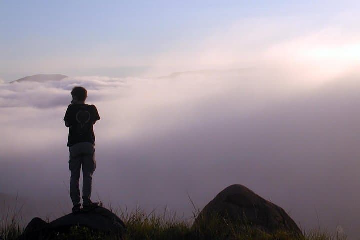
When the sun hits the east face of the Andringitra massif it throws long shadows down a landscape of granite plates and sharp ridges. You start in the cool morning of the Namoly valley, cross the Zomandao River and feel the massif lean over you — cliffs, waterfalls, and high meadows that demand forward motion.
Verified experiences and guided adventures in the surrounding area.
Operated by Sudmadatrek Voyages · Ambalavao, Haute Matsiatra
When the sun hits the east face of the Andringitra massif it throws long shadows down a landscape of granite plates and sharp ridges. You start in the cool morning of the Namoly valley, cross the Zomandao River and feel the massif lean over you — cliffs, waterfalls, and high meadows that demand forward motion.
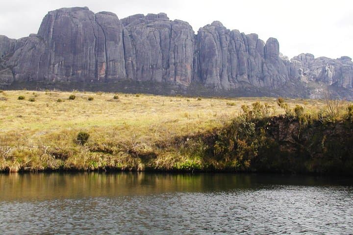
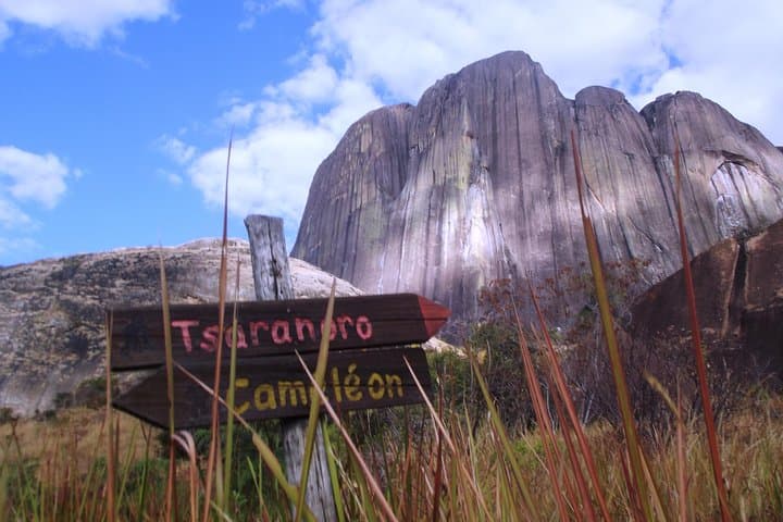
Andringitra is carved from ancient granite and shaped by water and wind; its cliffs include the vertical face of Tsaranoro and the stacked slabs that lead to Pic Boby (Imarivolanitra), Madagascar’s second highest summit at 2,658 m. Human history threads the park too: Antemoro paper makers of Ambalavao and Bara tombs on the hills recall long-settled valley cultures. The forests here hold orchids, tree ferns and rare Drosera while torrents supply the cascade systems that local stories call sacred.
Over four days you’ll hike varied terrain — rainforest loops to reach 250–300 m waterfalls, steep meadow climbs gaining 750–850 m on day routes, and a final scramble up slabby steps (paths fitted with roughly 3,000 steps in parts) to the summit. Nights are in simple bivouacs or a valley hotel; carriers and tents are provided.
Practical edge: aim for the dry months (May–October), break long ascents into steady, conservative paces, and pack for rapid temperature swings between valley heat and summit cold. Good boots, pole use, layered insulation and 2–3 liters of water capacity per day will keep the trek safe and enjoyable. Respect zebu grazing areas and local customs — the landscape rewards a measured, attentive approach.
difficult.
4–5 days.
Strong cardiovascular endurance and sustained hiking fitness; comfortable with long daily gains and multi-day backpacking.
No technical rock-climbing gear is required for the standard route — the summit involves steep slabs and fixed paths; good boots and a head for exposure are necessary.
The dry season (roughly May–October) offers clearer skies and firmer trails; the austral summer brings heavy rains that make river crossings and tracks more challenging.
Yes — local guides, park admission and carriers for equipment are typically included, and their knowledge of trails and customs is valuable.
Summit day is strenuous: expect an 800–900 m elevation gain over steep steps and slabs; allow for up to 8 hours with breaks and variable weather.
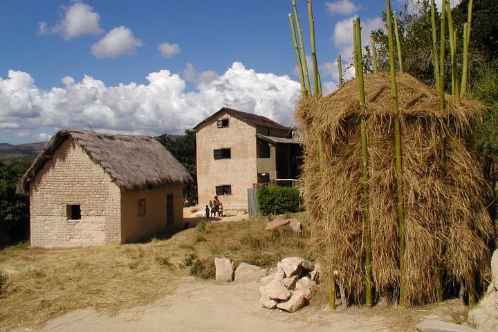
The valley communities have long made Antemoro paper and maintained Bara burial sites; the massif’s place names reflect royal and local legends tied to water and fertility.
Andringitra is a protected park with limited infrastructure — follow leave-no-trace practices, avoid disturbing orchids and report any illegal activity to rangers to help protect fragile habitats.
Sudmadatrek Voyages operates guided outdoor trips and adventures with an emphasis on safety, stewardship, and memorable experiences.
When the sun hits the east face of the Andringitra massif it throws long shadows down a landscape of granite plates and sharp ridges. You start in the cool morning of the Namoly valley, cross the Zomandao River and feel the massif lean over you — cliffs, waterfalls, and high meadows that demand forward motion.
When the sun hits the east face of the Andringitra massif it throws long shadows down a landscape of granite plates and sharp ridges. You start in the cool morning of the Namoly valley, cross the Zomandao River and feel the massif lean over you — cliffs, waterfalls, and high meadows that demand forward motion.
Andringitra is carved from ancient granite and shaped by water and wind; its cliffs include the vertical face of Tsaranoro and the stacked slabs that lead to Pic Boby (Imarivolanitra), Madagascar’s second highest summit at 2,658 m. Human history threads the park too: Antemoro paper makers of Ambalavao and Bara tombs on the hills recall long-settled valley cultures. The forests here hold orchids, tree ferns and rare Drosera while torrents supply the cascade systems that local stories call sacred.
Over four days you’ll hike varied terrain — rainforest loops to reach 250–300 m waterfalls, steep meadow climbs gaining 750–850 m on day routes, and a final scramble up slabby steps (paths fitted with roughly 3,000 steps in parts) to the summit. Nights are in simple bivouacs or a valley hotel; carriers and tents are provided.
Practical edge: aim for the dry months (May–October), break long ascents into steady, conservative paces, and pack for rapid temperature swings between valley heat and summit cold. Good boots, pole use, layered insulation and 2–3 liters of water capacity per day will keep the trek safe and enjoyable. Respect zebu grazing areas and local customs — the landscape rewards a measured, attentive approach.