THE ADVENTURE COLLECTIVE® · Independent discovery and booking for outdoor travel

Spend a full day advancing from the valley village of Imlil to the summit of Jebel Toubkal (4,167 m). This private trek from Marrakech combines cultural trail sections, a refuge lunch at 3,210 m, and a rewarding 960 m summit push.
Spend a full day advancing from the valley village of Imlil to the summit of Jebel Toubkal (4,167 m). This private trek from Marrakech combines cultural trail sections, a refuge lunch at 3,210 m, and a rewarding 960 m summit push.
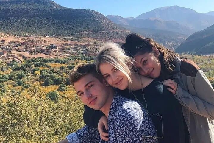
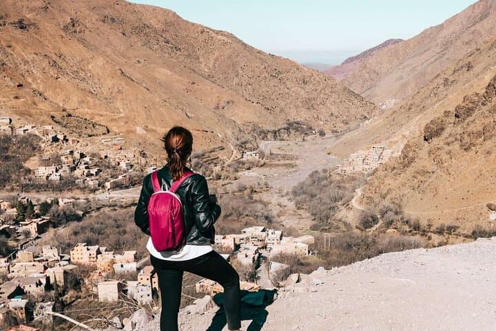
You step out of the minibus as the High Atlas cuts the horizon—craggy ridgelines rising sharp against a pale sky, the autumn sun already warming the terraced fields that lead to Imlil. The valley air smells of dust and mint; shepherds’ calls punctuate the climb as the trail follows irrigation canals and stone-paved mule tracks toward the refuge.
Verified experiences and guided adventures in the surrounding area.
Operated by Smart Morocco Tours Excursions · Imlil, Marrakech-Safi
You step out of the minibus as the High Atlas cuts the horizon—craggy ridgelines rising sharp against a pale sky, the autumn sun already warming the terraced fields that lead to Imlil. The valley air smells of dust and mint; shepherds’ calls punctuate the climb as the trail follows irrigation canals and stone-paved mule tracks toward the refuge.
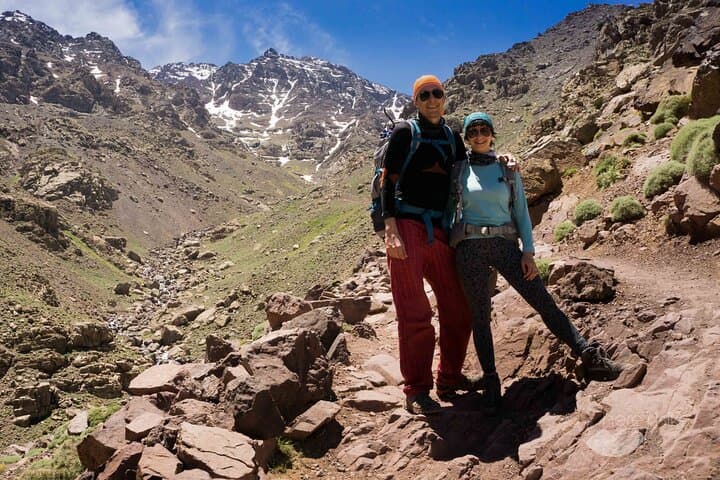
This route threads through Berber villages where stone houses and aged terraced farms reflect centuries of mountain life. Geologically, the High Atlas is young and folded, with metamorphic rock and scree fields that give way to a cirque above the refuge. Toubkal itself (4,167 m) is a compact peak with a steep southern approach—its summit offers sweeping views from the Marrakech Plain to the Anti-Atlas and even the edge of the Sahara on clear days.
Expect a long, high-day: pickup in Marrakech, a one-hour drive to Imlil, steady ascent to the refuge at 3,210 m, then the demanding 960 m push to the summit. Guides and muleteers carry logistics and meals; water is provided on the trail. The path is mostly non-technical but can be loose, exposed, and subject to rapid weather swings—sun, wind, and late-season snow can all appear in a single day.
Plan for altitude, layer for temperature swings, and carry snacks and a lightweight first-aid kit. Start early to avoid afternoon storms; move at a steady pace, drink often, and lean on trekking poles for the steeper sections. Reach the top and the mountains will feel less like a backdrop and more like a challenge you met and left footprints on.
challenging.
14–16 hours.
Good aerobic fitness and leg endurance for long ascent and descent; experience above 3,000 m helpful
No technical climbing is required in summer conditions; the route is a steep trek, though snow and ice can make it technical in winter, requiring crampons and experience.
Yes—private transport from Marrakech to Imlil and back is included in the tour package.
Rapid ascent to 4,167 m increases risk; prior acclimatization, hydration, and a steady pace reduce symptoms—inform guides of any concerns.
Yes—all meals during the trek and water on the route are included per the tour details.
The High Atlas has long been inhabited by Berber communities who built stone terraces and maintained mule tracks that modern trekkers still use.
Trail erosion and seasonal grazing pressure are local concerns; stick to established paths, pack out waste, and use local guides who support community-based conservation.
Smart Morocco Tours Excursions operates guided outdoor trips and adventures with an emphasis on safety, stewardship, and memorable experiences.
You step out of the minibus as the High Atlas cuts the horizon—craggy ridgelines rising sharp against a pale sky, the autumn sun already warming the terraced fields that lead to Imlil. The valley air smells of dust and mint; shepherds’ calls punctuate the climb as the trail follows irrigation canals and stone-paved mule tracks toward the refuge.
You step out of the minibus as the High Atlas cuts the horizon—craggy ridgelines rising sharp against a pale sky, the autumn sun already warming the terraced fields that lead to Imlil. The valley air smells of dust and mint; shepherds’ calls punctuate the climb as the trail follows irrigation canals and stone-paved mule tracks toward the refuge.
This route threads through Berber villages where stone houses and aged terraced farms reflect centuries of mountain life. Geologically, the High Atlas is young and folded, with metamorphic rock and scree fields that give way to a cirque above the refuge. Toubkal itself (4,167 m) is a compact peak with a steep southern approach—its summit offers sweeping views from the Marrakech Plain to the Anti-Atlas and even the edge of the Sahara on clear days.
Expect a long, high-day: pickup in Marrakech, a one-hour drive to Imlil, steady ascent to the refuge at 3,210 m, then the demanding 960 m push to the summit. Guides and muleteers carry logistics and meals; water is provided on the trail. The path is mostly non-technical but can be loose, exposed, and subject to rapid weather swings—sun, wind, and late-season snow can all appear in a single day.
Plan for altitude, layer for temperature swings, and carry snacks and a lightweight first-aid kit. Start early to avoid afternoon storms; move at a steady pace, drink often, and lean on trekking poles for the steeper sections. Reach the top and the mountains will feel less like a backdrop and more like a challenge you met and left footprints on.