THE ADVENTURE COLLECTIVE® · Independent discovery and booking for outdoor travel

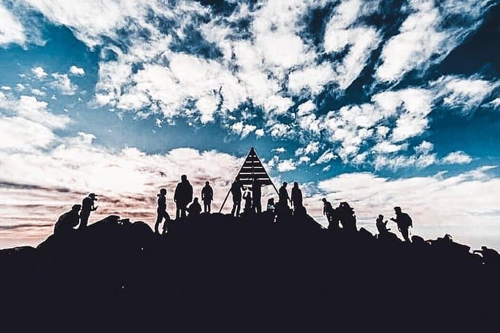
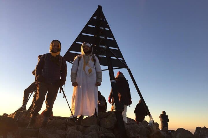
Two days, a local Berber guide, a night in a mountain refuge and a sunrise push to North Africa’s highest summit. This guided Toubkal trek blends Himalayan-style exposure with Moroccan mountain culture—ideal for fit hikers ready for a long summit day.
Two days, a local Berber guide, a night in a mountain refuge and a sunrise push to North Africa’s highest summit. This guided Toubkal trek blends Himalayan-style exposure with Moroccan mountain culture—ideal for fit hikers ready for a long summit day.
Dawn breaks over the High Atlas as a minivan winds out of Marrakech and climbs toward Imlil. By midmorning the valley widens into terraced fields and stone villages; the air tastes of mint tea and cold river spray. Hikers leave the road for mule tracks that push steadily upward, past the Chamharouch shrine and scrubby juniper, toward the refuge perched above the tree line.
Verified experiences and guided adventures in the surrounding area.
Operated by amazigh voyage · Imlil, Marrakesh-Safi
Dawn breaks over the High Atlas as a minivan winds out of Marrakech and climbs toward Imlil. By midmorning the valley widens into terraced fields and stone villages; the air tastes of mint tea and cold river spray. Hikers leave the road for mule tracks that push steadily upward, past the Chamharouch shrine and scrubby juniper, toward the refuge perched above the tree line.
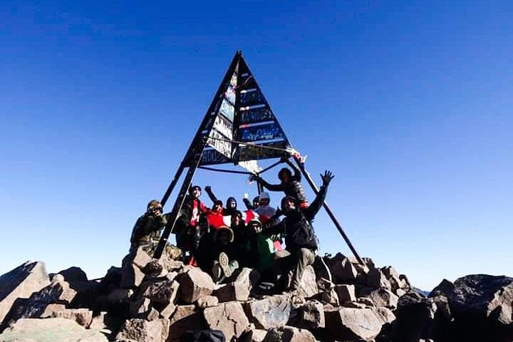
Mount Toubkal (4,167 m) is the highest peak in North Africa—an erosional granite massif shaped by the collision of the African and Eurasian plates. The route follows clear shepherd trails and stone switchbacks used by Berber porters and pilgrims for generations; the Chamharouch site and the villages below offer a glimpse of local mountain culture and hospitality.
Practically, the itinerary compresses two long days: Day 1 climbs from Imlil (≈1,740 m) to the refuge (≈3,207 m) in 5–6 hours; Day 2 begins before dawn for a roughly 3-hour ascent to the summit, then a long descent back to Imlil totaling 10–12 hours on foot. Trails are non-technical but steep and exposed near the summit; mules carry luggage and meals are provided at the refuge. Altitude, weather swings, and long daylengths make pacing and hydration critical.
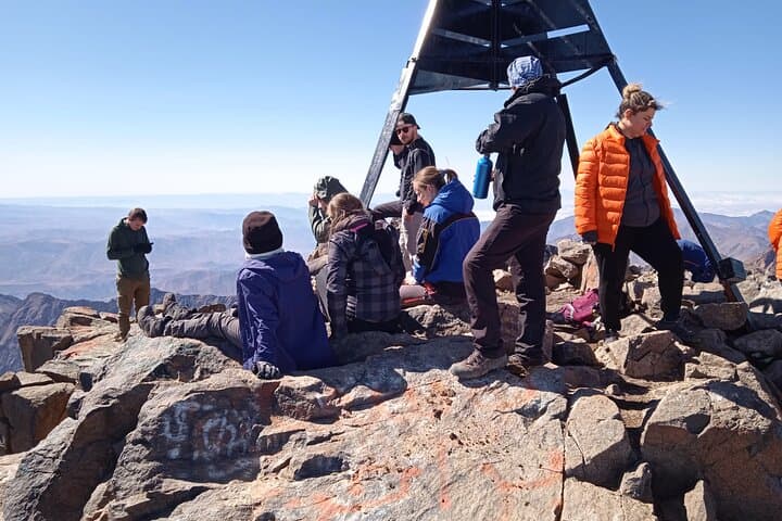
Expect rocky terrain, exposed ridgelines, and sweeping views over the Atlas to the Sahara on clear days. Bring warm layers for the summit, solid boots and poles for descent, and allow time in Marrakech to acclimatize before you go.
challenging.
2 days.
Good aerobic fitness and prior long-day hiking experience; able to manage 10–12 hours on summit day and sustained uphill sections.
The route is non-technical but strenuous due to sustained elevation gain and a long summit day; expect steep, rocky trails and 10–12 hours of walking on day two.
No technical gear is required in summer and shoulder seasons; in winter or late spring with snow, crampons and ice axe may be necessary—check seasonal conditions with the operator.
Local mules normally carry main luggage to the refuge so hikers only carry a daypack with water, snacks, and layers.
Yes—Toubkal’s summit is over 4,000 m. Symptoms can affect any hiker; hydrate, ascend steadily, and notify guides if symptoms develop.
The High Atlas is inhabited by Amazigh (Berber) communities whose mountain routes and refuges have supported trade, pilgrimage and pastoralism for centuries.
Stick to established trails and refuse lines to protect fragile alpine soils; water is limited—use provided water responsibly and avoid single-use plastics.
amazigh voyage operates guided outdoor trips and adventures with an emphasis on safety, stewardship, and memorable experiences.
Dawn breaks over the High Atlas as a minivan winds out of Marrakech and climbs toward Imlil. By midmorning the valley widens into terraced fields and stone villages; the air tastes of mint tea and cold river spray. Hikers leave the road for mule tracks that push steadily upward, past the Chamharouch shrine and scrubby juniper, toward the refuge perched above the tree line.
Dawn breaks over the High Atlas as a minivan winds out of Marrakech and climbs toward Imlil. By midmorning the valley widens into terraced fields and stone villages; the air tastes of mint tea and cold river spray. Hikers leave the road for mule tracks that push steadily upward, past the Chamharouch shrine and scrubby juniper, toward the refuge perched above the tree line.
Mount Toubkal (4,167 m) is the highest peak in North Africa—an erosional granite massif shaped by the collision of the African and Eurasian plates. The route follows clear shepherd trails and stone switchbacks used by Berber porters and pilgrims for generations; the Chamharouch site and the villages below offer a glimpse of local mountain culture and hospitality.
Practically, the itinerary compresses two long days: Day 1 climbs from Imlil (≈1,740 m) to the refuge (≈3,207 m) in 5–6 hours; Day 2 begins before dawn for a roughly 3-hour ascent to the summit, then a long descent back to Imlil totaling 10–12 hours on foot. Trails are non-technical but steep and exposed near the summit; mules carry luggage and meals are provided at the refuge. Altitude, weather swings, and long daylengths make pacing and hydration critical.
Expect rocky terrain, exposed ridgelines, and sweeping views over the Atlas to the Sahara on clear days. Bring warm layers for the summit, solid boots and poles for descent, and allow time in Marrakech to acclimatize before you go.