THE ADVENTURE COLLECTIVE® · Independent discovery and booking for outdoor travel

A compact, guided ascent of North Africa’s highest peak—this two-day trek from Marrakech combines village trails, a night in a mountain refuge, and a pre-dawn summit push to 4,167 m. Perfect for fit hikers who want a rapid, well-supported High Atlas experience.
A compact, guided ascent of North Africa’s highest peak—this two-day trek from Marrakech combines village trails, a night in a mountain refuge, and a pre-dawn summit push to 4,167 m. Perfect for fit hikers who want a rapid, well-supported High Atlas experience.
The road from Marrakech compresses into hairpin turns as the city fades and the High Atlas rises—red-brown ridges punctuated by white villages. By Imlil the air tastes cooler and the path narrows into mule tracks that climb through terraced fields. On Day 1, the trail leads five hours uphill to Refuge du Toubkal at about 3,200 m; on Day 2 an early 4:30 a.m. start sends hikers toward the summit, where the panorama opens across jagged ridgelines and toward the Sahara on a clear day.
Verified experiences and guided adventures in the surrounding area.
Operated by Toubkal Hiking · Imlil, Marrakesh-Safi
The road from Marrakech compresses into hairpin turns as the city fades and the High Atlas rises—red-brown ridges punctuated by white villages. By Imlil the air tastes cooler and the path narrows into mule tracks that climb through terraced fields. On Day 1, the trail leads five hours uphill to Refuge du Toubkal at about 3,200 m; on Day 2 an early 4:30 a.m. start sends hikers toward the summit, where the panorama opens across jagged ridgelines and toward the Sahara on a clear day.
This route moves through landscapes shaped by volcanic activity and glaciation; Toubkal itself is the range’s highest point at 4,167 m and has long been part of the lifeways of local Berber communities. Imlil and surrounding villages are cultural gateways—mud-brick houses, stepped fields, and mule logistics still central to mountain life.
Expect steep, rocky trails, loose scree near the top, and significant altitude change—pack layers and pace your ascent. Guides from nearby Berber villages handle logistics and hut accommodation, keeping impact lower than large base-camp operations.
Practical guidance: train with back-to-back moderate hikes (6–10 km with elevation gain), break up exertion to manage altitude, and carry at least 2–3 liters of water plus electrolytes. Start the summit push well before sunrise to avoid afternoon winds and to time descents on firmer snow in shoulder seasons. Footwear with good ankle support and trekking poles will make loose sections safer; allow time on Day 1 to acclimatize and sleep early before the summit attempt.
challenging.
2 days.
Good aerobic fitness with experience on sustained uphill hikes; ability to carry a daypack and manage 8–10 hours of walking over two days.
The route is steep with loose sections near the top; you need good stamina and experience with long ascents, but no technical climbing gear is required.
Yes—overnight in Refuge du Toubkal (a mountain hut) is included in the standard itinerary.
A guide is provided and recommended for navigation, local logistics, and altitude management—local Berber guides run the route professionally.
Round-trip transport from Marrakech is included; pickups are arranged from central city points at an agreed time the evening before departure.
The High Atlas has been inhabited by Berber (Amazigh) communities for centuries; trails served trade and seasonal shepherding long before modern trekking.
Stick to marked trails, use local guides and refuges to concentrate impact, and avoid single-use plastics—mountain ecosystems recover slowly from litter and erosion.
Toubkal Hiking operates guided outdoor trips and adventures with an emphasis on safety, stewardship, and memorable experiences.
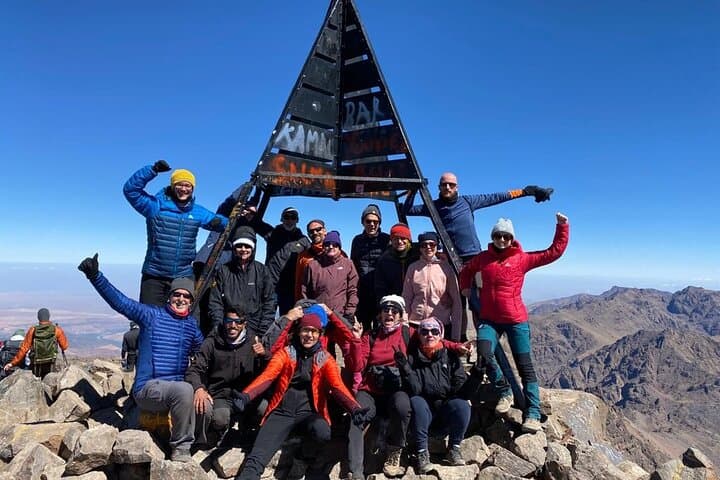
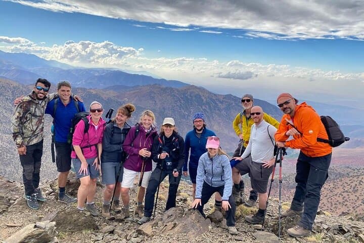
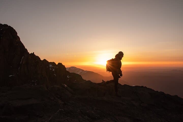
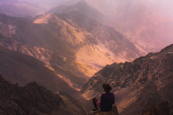
The road from Marrakech compresses into hairpin turns as the city fades and the High Atlas rises—red-brown ridges punctuated by white villages. By Imlil the air tastes cooler and the path narrows into mule tracks that climb through terraced fields. On Day 1, the trail leads five hours uphill to Refuge du Toubkal at about 3,200 m; on Day 2 an early 4:30 a.m. start sends hikers toward the summit, where the panorama opens across jagged ridgelines and toward the Sahara on a clear day.
The road from Marrakech compresses into hairpin turns as the city fades and the High Atlas rises—red-brown ridges punctuated by white villages. By Imlil the air tastes cooler and the path narrows into mule tracks that climb through terraced fields. On Day 1, the trail leads five hours uphill to Refuge du Toubkal at about 3,200 m; on Day 2 an early 4:30 a.m. start sends hikers toward the summit, where the panorama opens across jagged ridgelines and toward the Sahara on a clear day.
This route moves through landscapes shaped by volcanic activity and glaciation; Toubkal itself is the range’s highest point at 4,167 m and has long been part of the lifeways of local Berber communities. Imlil and surrounding villages are cultural gateways—mud-brick houses, stepped fields, and mule logistics still central to mountain life.
Expect steep, rocky trails, loose scree near the top, and significant altitude change—pack layers and pace your ascent. Guides from nearby Berber villages handle logistics and hut accommodation, keeping impact lower than large base-camp operations.
Practical guidance: train with back-to-back moderate hikes (6–10 km with elevation gain), break up exertion to manage altitude, and carry at least 2–3 liters of water plus electrolytes. Start the summit push well before sunrise to avoid afternoon winds and to time descents on firmer snow in shoulder seasons. Footwear with good ankle support and trekking poles will make loose sections safer; allow time on Day 1 to acclimatize and sleep early before the summit attempt.