THE ADVENTURE COLLECTIVE® · Independent discovery and booking for outdoor travel

A two-day guided route from Tirana to Korab’s summit combines village hospitality, glacial lakes and a sustained alpine climb. Read on for terrain, timing and what to pack for the 16.3 km round-trip to Albania’s highest peak.
A two-day guided route from Tirana to Korab’s summit combines village hospitality, glacial lakes and a sustained alpine climb. Read on for terrain, timing and what to pack for the 16.3 km round-trip to Albania’s highest peak.
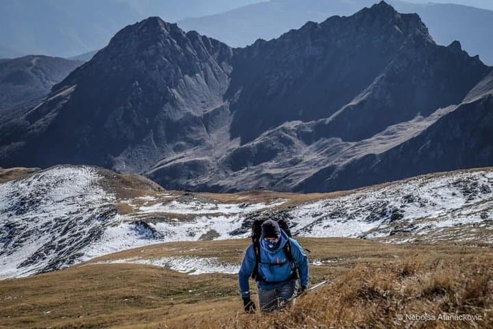
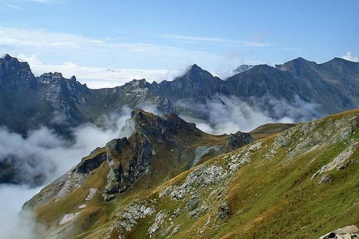
A cold wind lifts off the grassy flank as you crest a saddle and the massif of Korab fills the horizon—granite ridges, scattered pine copses and alpine meadows that feed into the border with North Macedonia. On day one the road peels away from Tirana’s urban grid and the landscape grows raw: industrial towns give way to terraced fields, then to villages clinging to steep slopes. By dusk you’re in Radomira, the small guesthouse hum of wood stoves and local cheese set aside for tomorrow’s climb.
Verified experiences and guided adventures in the surrounding area.
Operated by Go as Local · Peshkopi, Dibër County
A cold wind lifts off the grassy flank as you crest a saddle and the massif of Korab fills the horizon—granite ridges, scattered pine copses and alpine meadows that feed into the border with North Macedonia. On day one the road peels away from Tirana’s urban grid and the landscape grows raw: industrial towns give way to terraced fields, then to villages clinging to steep slopes. By dusk you’re in Radomira, the small guesthouse hum of wood stoves and local cheese set aside for tomorrow’s climb.
Korab is the highest summit in Albania and one of the tallest in the western Balkans; its geology is a mix of Paleozoic metamorphic rocks and younger limestone that create steep couloirs and open grassy plates near the top. The region carries a recent human story too—mining towns and communist-era settlements altered valley economies, while shepherding traditions persist on summer pastures.
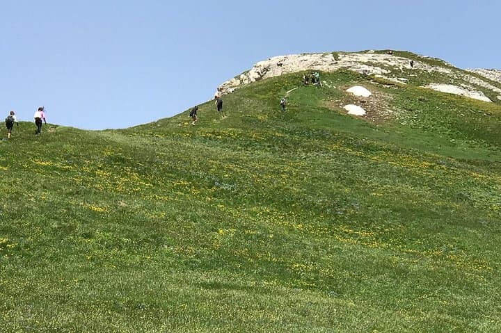
Expect 16.3 km round trip from Radomira with roughly 1,490 m elevation gain on varied terrain: oak and pine forests, high meadows and rocky alpine approaches. Weather can turn fast; mornings often offer the clearest light for summit views, while afternoons bring wind and cloud.
Practical edge: carry 2–3 liters of water, sturdy boots with ankle support, and layers for wind and sun. Start early the summit day to avoid afternoon storms and preserve energy for the steady, sometimes steep pitches above the treeline.
This is an immersive, off-the-beaten-path highland hike—part natural history, part cultural exchange—best approached with respect for fragile alpine habitats and local mountain life.
challenging.
6–8 hours (hike); 2 days total.
Good aerobic fitness and experience with sustained climbs; able to carry a daypack with supplies.
The route is non-technical and follows a marked trail, but it requires sustained uphill hiking and comfort on rocky, exposed sections near the top.
Fit beginners with recent hill-walking experience can manage the trip, but expect a long day with nearly 1,500 m of elevation gain—train with shorter ascents first.
The standard route stays on the Albanian side; no special permits are required, though you should carry ID and follow guidance from the local guide.
Late spring through early autumn (May–September) offers the most stable conditions—early snow can linger into late spring at higher elevations.
Korab sits on a natural border and has been shaped by pastoral life and 20th-century industrial resettlements; the valleys still show traces of Albania’s mining and communist-era towns.
High-elevation meadows host sensitive alpine plants and the area relies on low-impact tourism; stick to trails, pack out waste and avoid feeding livestock.
Go as Local operates guided outdoor trips and adventures with an emphasis on safety, stewardship, and memorable experiences.
A cold wind lifts off the grassy flank as you crest a saddle and the massif of Korab fills the horizon—granite ridges, scattered pine copses and alpine meadows that feed into the border with North Macedonia. On day one the road peels away from Tirana’s urban grid and the landscape grows raw: industrial towns give way to terraced fields, then to villages clinging to steep slopes. By dusk you’re in Radomira, the small guesthouse hum of wood stoves and local cheese set aside for tomorrow’s climb.
A cold wind lifts off the grassy flank as you crest a saddle and the massif of Korab fills the horizon—granite ridges, scattered pine copses and alpine meadows that feed into the border with North Macedonia. On day one the road peels away from Tirana’s urban grid and the landscape grows raw: industrial towns give way to terraced fields, then to villages clinging to steep slopes. By dusk you’re in Radomira, the small guesthouse hum of wood stoves and local cheese set aside for tomorrow’s climb.
Korab is the highest summit in Albania and one of the tallest in the western Balkans; its geology is a mix of Paleozoic metamorphic rocks and younger limestone that create steep couloirs and open grassy plates near the top. The region carries a recent human story too—mining towns and communist-era settlements altered valley economies, while shepherding traditions persist on summer pastures.
Expect 16.3 km round trip from Radomira with roughly 1,490 m elevation gain on varied terrain: oak and pine forests, high meadows and rocky alpine approaches. Weather can turn fast; mornings often offer the clearest light for summit views, while afternoons bring wind and cloud.
Practical edge: carry 2–3 liters of water, sturdy boots with ankle support, and layers for wind and sun. Start early the summit day to avoid afternoon storms and preserve energy for the steady, sometimes steep pitches above the treeline.
This is an immersive, off-the-beaten-path highland hike—part natural history, part cultural exchange—best approached with respect for fragile alpine habitats and local mountain life.